- Elevation
- 19 m
- above sea level
- Local time
- UTC+00:00
- Europe/London · UTC+00:00
- Airports
- LCY London City Airport11 km
- LHR London Heathrow Airport25 km
About Farringdon
Farringdon is a village. Location: Islington, Greater London. Elevation: 19 m.
Farringdon ( ) is an area in the London Borough of Islington, situated immediately north of its border with the City of London. The term is used to describe the area around Farringdon station. Historically the district corresponded to southern Clerkenwell and the small parish of St Sepulchre Middlesex. The area's name is a back-formation: It takes its name from the station, which was in turn named after Farringdon Street. To the south lie the City of London wards of Farringdon Within and Farringdon Without.
Source: Wikipedia · CC BY-SA 4.0
Photos of Farringdon
-
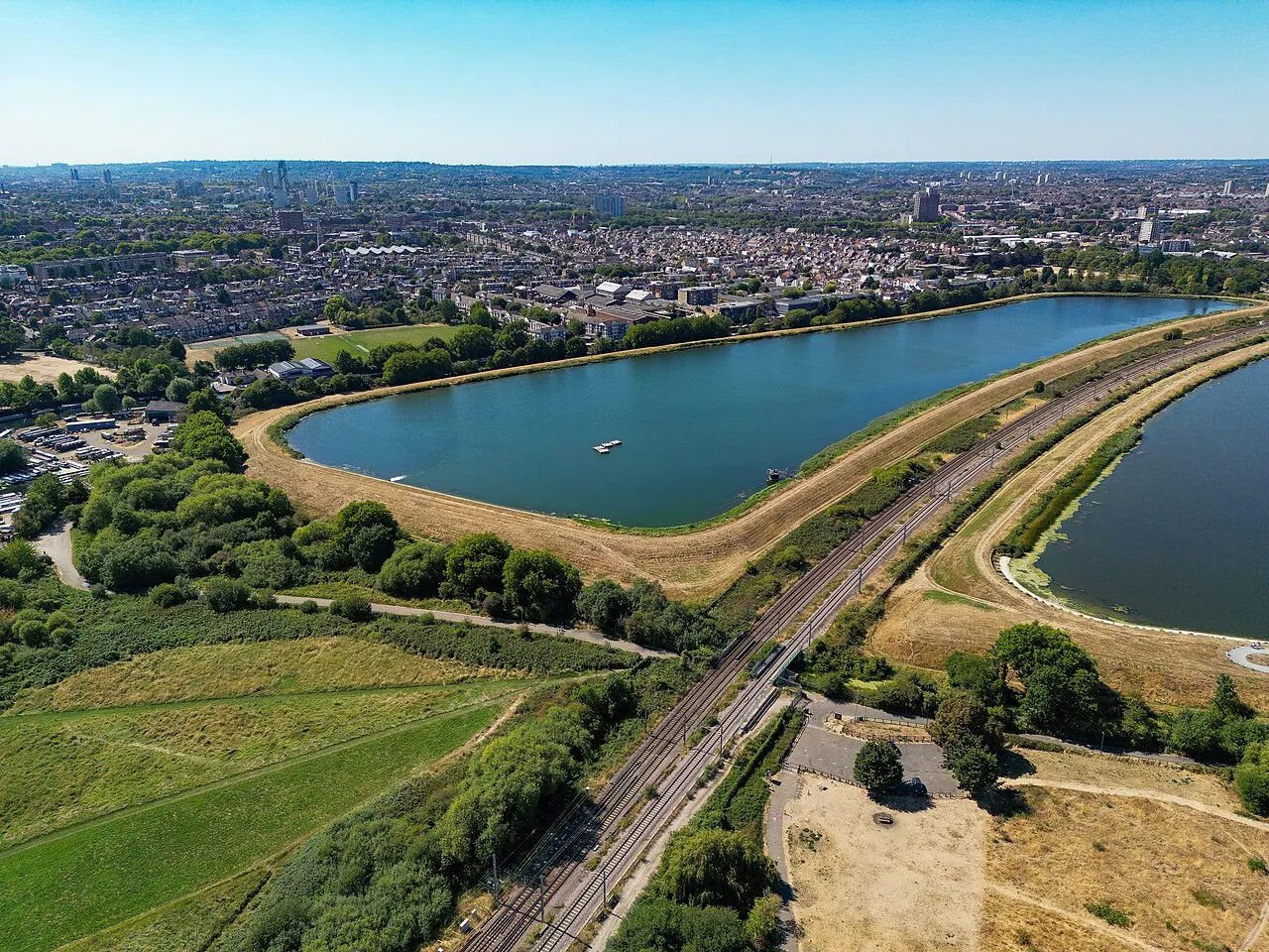
West Warwick Reservoir Russss · CC BY-SA 4.0 -
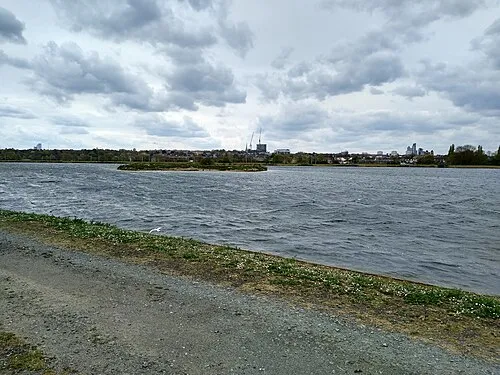
East Warwick Reservoir Mx. Granger · CC0 -
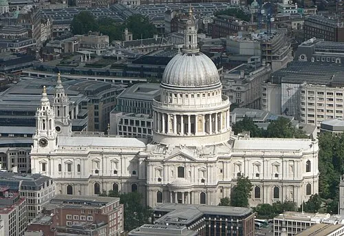
St Paul's Cathedral Mark Fosh · CC BY 2.0 -
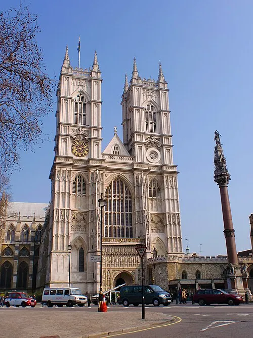
Westminster Abbey Σπάρτακος · CC BY-SA 3.0 -
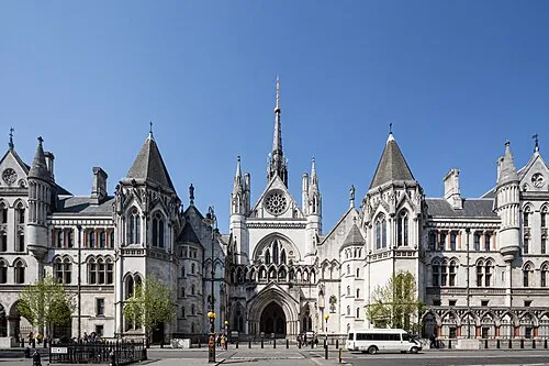
Royal Courts of Justice This image was produced by me, David Castor · CC0


Climate of Farringdon
Best months for sightseeingBest months for sightseeing: June–August.
This month · November
A cold month
Day 11° · Night 4° · Rain 61 mm
- Hottest month
- July (day 23°)
- Coldest month
- February (night 2°)
- Wettest month
- January (62 mm)
- Driest month
- February (40 mm)
Bars: average monthly low and high temperature. Below: precipitation. Monthly averages for 1970–2000 at about 18 km resolution, adjusted for elevation. Highlighted months are mild and relatively dry. Source: WorldClim 2.1 (CC BY 4.0).
Show values as a table
| Month | Jan | Feb | Mar | Apr | May | Jun | Jul | Aug | Sep | Oct | Nov | Dec |
|---|---|---|---|---|---|---|---|---|---|---|---|---|
| Average high (°C) | 8° | 8° | 11° | 13° | 17° | 21° | 23° | 23° | 19° | 15° | 11° | 8° |
| Average low (°C) | 2° | 2° | 3° | 4° | 7° | 11° | 13° | 13° | 10° | 7° | 4° | 3° |
| Precipitation (mm) | 62 | 40 | 47 | 45 | 48 | 53 | 42 | 49 | 57 | 61 | 61 | 59 |
How to get to Farringdon
The nearest airport is London City Airport (LCY), 11 km to the east as the crow flies. For international flights: London Heathrow Airport (LHR) (25 km). The nearest large city is Islington, 2 km to the north.
Airports
- London City Airport (LCY) London 11 kmeast
- London Heathrow Airport (LHR) London 25 kmwest
- London Gatwick Airport (LGW) London 42 kmsouth
Nearby large cities
- Islington Population: 319.1K 2 kmnorth
- London Population: 9M 2 kmsouthwest
- City of Westminster Population: 247.6K 3 kmsouthwest
- Archway Population: 215.7K 6 kmnorth
- Tottenham Population: 130K 10 kmnorth
Straight-line distances; road distances are longer. Airport data: OurAirports.
Day trips from Farringdon
Within 100 km: 823 historic and cultural sites, 582 natural sites, 325 lakes, rivers and coasts.
0–25 km432 places
- White Hart Lane Landmark 10 kmN
- Sunbury Court Island 24 kmSW
- Rivermead Island 24 kmSW
- Lot's Ait Island 14 kmW
25–60 km576 places
- Spotlites @ Kings Theatre Attraction 47 kmE
- Yantlet beach Beach 54 kmE
- The Lynch Island 55 kmW
- Isle of Grain Island 56 kmE
60–100 km722 places
- Isle of Sheppey Island 67 kmE
- St Nicholas Church Shoreham Attraction 77 kmS
- The Marlipins Museum Museum 77 kmS
- Camber Sands Beach 91 kmSE
Straight-line distances.
Nearby attractions & nature
Everything nearby-
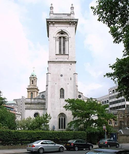 St Andrew, Holborn Attraction, City of London0.4 km SW
-
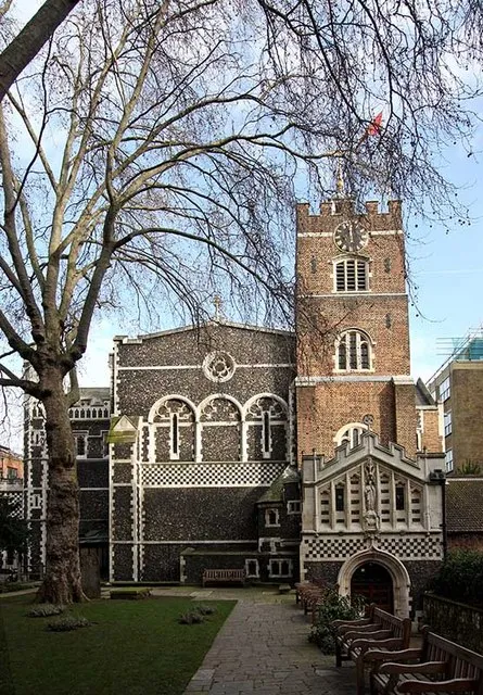 St Bartholomew-the-Great Attraction, City of London0.4 km E
-
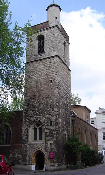 St Bartholomew-the-Less Attraction, City of London0.4 km SE
-
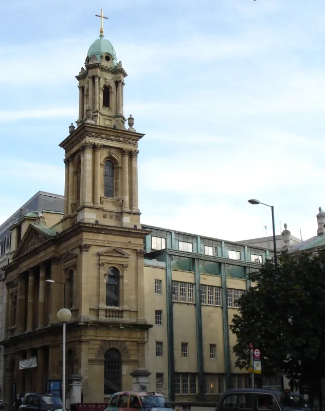 City Temple Attraction, City of London0.3 km S
-
St Paul's Cathedral Attraction, City of London0.8 km SE
-
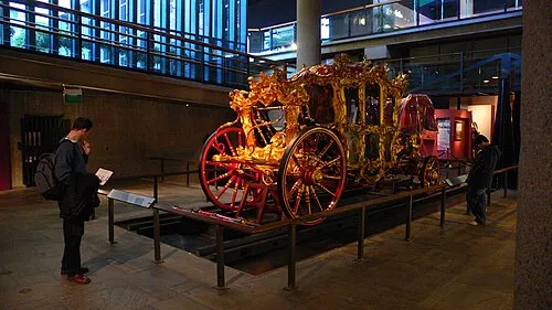 Museum of London Museum, City of London0.7 km SE
Other cities and towns in Islington
-
 Holloway Neighbourhood, Islington3.9 km N
-
 Canonbury Neighbourhood, Islington2.8 km N
-
 Finsbury Village, Islington0.9 km N
-
 Lower Holloway Neighbourhood, Islington3.5 km N
-
Tufnell Park Village, Islington4.7 km NW
-
St Luke's Neighbourhood, Islington0.8 km NE
Sources & licences
Data last updated: · 2 independent sources