- Population
- 205,029
- 205K
- Elevation
- 16 m
- above sea level
- Local time
- UTC+00:00
- Europe/London · UTC+00:00
- Places inside
- 40
- listed under Merton
- Airports
- LHR London Heathrow Airport20 km
- LCY London City Airport20 km
About Merton
Merton is a municipality. Location: Greater London, England. Population: 205,029. Elevation: 16 m. The best months to visit are June–August. The nearest airport is London Heathrow Airport (20 km). Nearby sights include Fazl Mosque and Wandsworth Bridge.
Photos of Merton
-
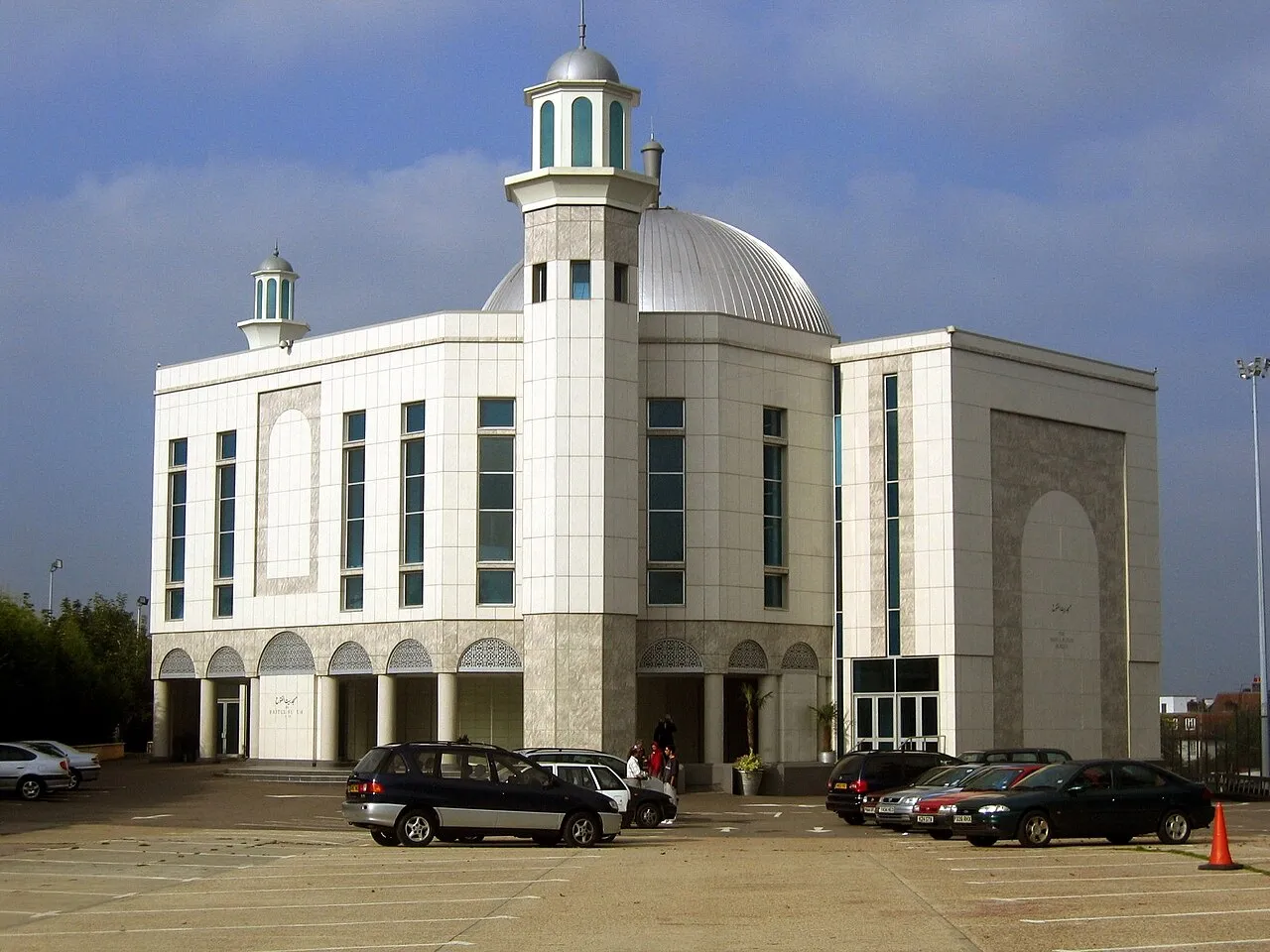
Baitul Futuh Mosque Muffingg · Public domain -
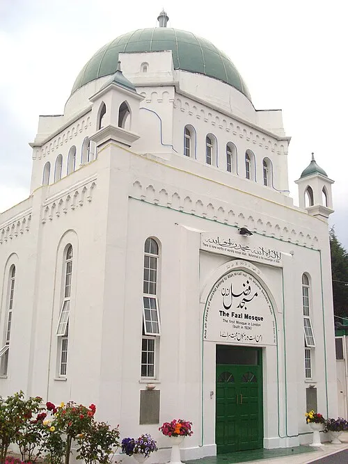
Fazl Mosque Ceddyfresse · Public domain -
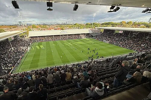
Craven Cottage Quintin Soloviev · CC BY 4.0 -
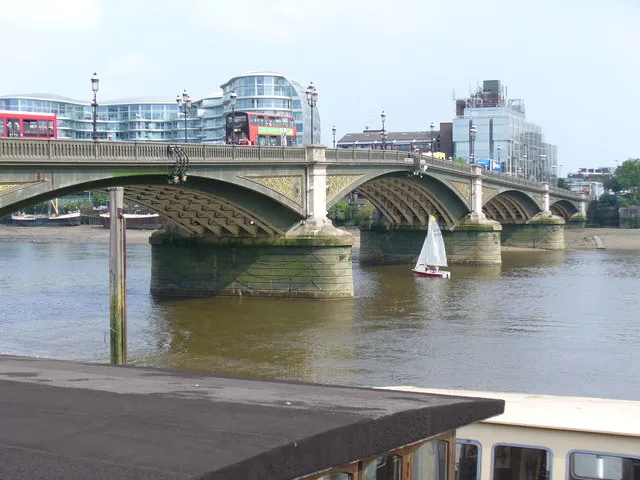
Battersea Bridge Colin Smith · CC BY-SA 2.0 -
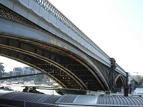
Cremorne Bridge Edwardx · CC BY-SA 3.0


Climate of Merton
Best months for sightseeingBest months for sightseeing: June–August.
This month · November
A cold month
Day 11° · Night 4° · Rain 62 mm
- Hottest month
- July (day 23°)
- Coldest month
- February (night 2°)
- Wettest month
- January (63 mm)
- Driest month
- February (40 mm)
Bars: average monthly low and high temperature. Below: precipitation. Monthly averages for 1970–2000 at about 18 km resolution, adjusted for elevation. Highlighted months are mild and relatively dry. Source: WorldClim 2.1 (CC BY 4.0).
Show values as a table
| Month | Jan | Feb | Mar | Apr | May | Jun | Jul | Aug | Sep | Oct | Nov | Dec |
|---|---|---|---|---|---|---|---|---|---|---|---|---|
| Average high (°C) | 8° | 8° | 11° | 13° | 18° | 21° | 23° | 23° | 19° | 15° | 11° | 9° |
| Average low (°C) | 2° | 2° | 3° | 5° | 8° | 11° | 13° | 13° | 10° | 8° | 4° | 3° |
| Precipitation (mm) | 63 | 40 | 48 | 44 | 49 | 54 | 42 | 50 | 57 | 62 | 62 | 62 |
How to get to Merton
The nearest airport is London Heathrow Airport (LHR), 20 km to the west as the crow flies. The nearest large city is Sutton, 7 km to the south.
Airports
- London Heathrow Airport (LHR) London 20 kmwest
- London City Airport (LCY) London 20 kmnortheast
- London Gatwick Airport (LGW) London 29 kmsouth
Nearby large cities
- Sutton Population: 187.6K 7 kmsouth
- Croydon Population: 173.3K 7 kmsoutheast
- City of Westminster Population: 247.6K 10 kmnorth
- London Population: 9M 12 kmnorth
- Islington Population: 319.1K 15 kmnortheast
Straight-line distances; road distances are longer. Airport data: OurAirports.
Day trips from Merton
Within 100 km: 826 historic and cultural sites, 606 natural sites, 322 lakes, rivers and coasts.
0–25 km462 places
- White Hart Lane Landmark 23 kmN
- Holm Island Island 24 kmW
- Sunbury Court Island 14 kmW
- Rivermead Island 15 kmW
25–60 km519 places
- Spotlites @ Kings Theatre Attraction 50 kmE
- The Lynch Island 50 kmW
- Canvey Island Island 55 kmE
- Two Tree Island Island 58 kmE
60–100 km773 places
- Portsea Island Natural site 92 kmSW
- Isle of Sheppey Island 71 kmE
- St Nicholas Church Shoreham Attraction 64 kmS
- The Marlipins Museum Museum 65 kmS
Straight-line distances.
Merton and similar cities
Side by side with cities of similar size in the same country: population, elevation and climate.
| Measure | Merton | Portsmouth | Swindon | Dudley |
|---|---|---|---|---|
| Population | 205K | 208.1K | 201.7K | 199.1K |
| Elevation | 16 m | 6 m | 113 m | 161 m |
| Summer day (hottest month) | 23° | 22° | 21° | 20° |
| Winter night (coldest month) | 2° | 2° | 1° | 1° |
| Annual rainfall | 633 mm | 805 mm | 683 mm | 1,073 mm |
| Best months | Jun–Aug | Jun–Aug | Jun–Aug | Jun–Aug |
| Distance | — | 93 km | 112 km | 178 km |
Climate values are 1970–2000 monthly averages; straight-line distance.
Places in Merton
40 places
Wimbledon
Population: 68.2K
Mitcham
Population: 63.4K
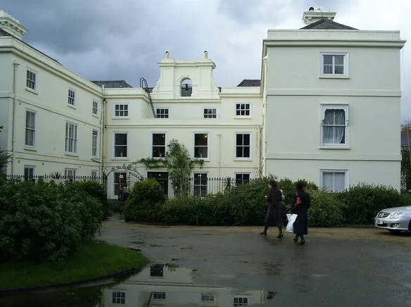
Morden
Population: 48.2K
Wimbledon Park
Population: 11.2K

Raynes Park
Population: 9.7K
Merton Park
Population: 9.5K
Bar: population relative to the most populous place in this list.
Cities & villages25
- Abbey · Neighbourhood
- Bushey Mead · Neighbourhood
- Cannon Hill · Neighbourhood
- Colliers Wood · Village
- Cottenham Park · Neighbourhood
- Cricket Green · Neighbourhood
- Crooked Billet · Neighbourhood
- Dundonald · Neighbourhood
- Figge's Marsh · Neighbourhood
- Graveney · Neighbourhood
- Hillside · Neighbourhood
- Lavender Fields · Neighbourhood
- Longthornton · Neighbourhood
- Merton · Village
- Morden Park · Neighbourhood
- Pollards Hill · Neighbourhood
- Ravensbury · Neighbourhood
- Risley Close · Village
- South Wimbledon · Village
- St. Helier · Neighbourhood
- Summerstown · Village
- Trinity · Neighbourhood
- Village · Neighbourhood
- West Barnes · Neighbourhood
- West Wimbledon · Village
Mountains & nature4
- Cranmer Green · Natural site
- Fishpond Wood Nature Reserve · Natural site
- Lauriston Road (Wimbledon) · Mountain
- Wimbledon Common · Mountain
Lakes, rivers & coasts1
- Beverley Brook · River
Heritage & sights3
- All England Lawn Tennis and Croquet Club · Landmark
- Baitul Futuh Mosque · Attraction
- Caesar's Camp · Historic site
Nearby attractions & nature
Everything nearby-
Fazl Mosque Attraction, Wandsworth4.7 km N
-
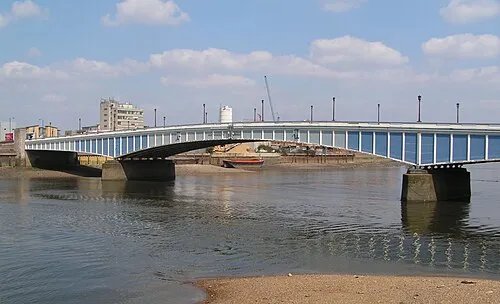 Wandsworth Bridge Landmark, Hammersmith and Fulham6 km N
-
Beverley Park Natural site, Kingston upon Thames4 km W
-
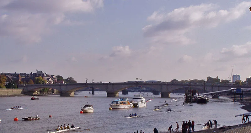 Putney Bridge Landmark, Hammersmith and Fulham6.5 km N
-
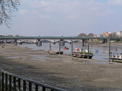 Fulham Railway Bridge Landmark, Hammersmith and Fulham6.3 km N
-
Wimbledon Windmill Museum Museum, Wandsworth4.2 km NW
-
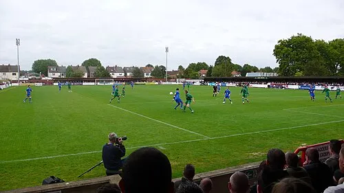 Kingsmeadow Landmark, Kingston upon Thames6.5 km W
-
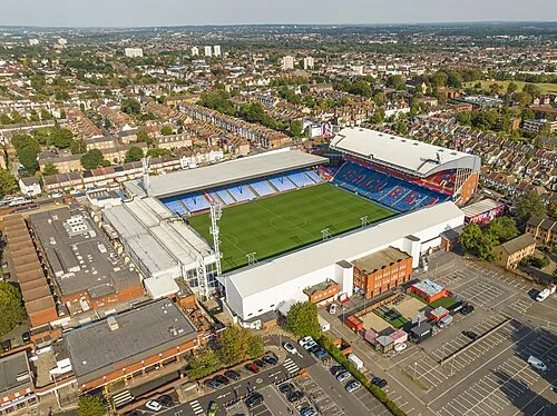 Selhurst Park Landmark, Croydon7.3 km E
Other cities and towns in Greater London
-
Wandsworth Municipality, Greater London5.2 km N
-
Sutton Municipality, Greater London5.8 km S
-
Croydon Municipality, Greater London6.9 km SE
-
Kingston upon Thames Municipality, Greater London8.2 km SW
-
Richmond upon Thames Municipality, Greater London10 km W
-
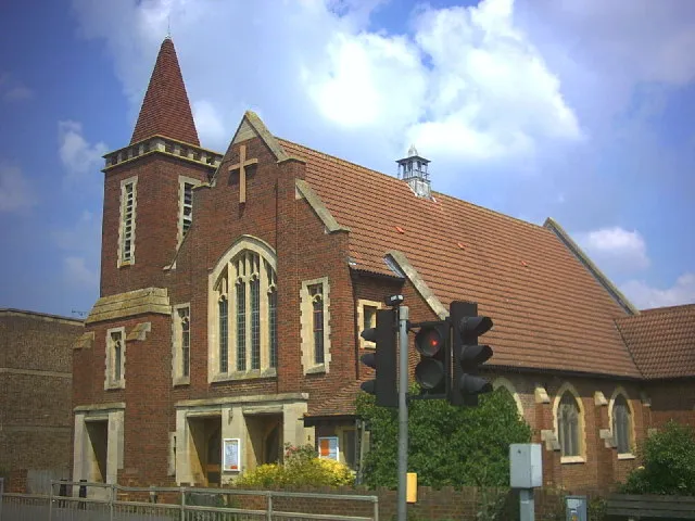 Worcester Park Town, Sutton5.2 km SW
Sources & licences
Data last updated: