
- Population
- 31,874
- 31.9K
- Elevation
- 0 m
- above sea level
- Local time
- UTC+00:00
- Europe/London · UTC+00:00
- Airports
- LCY London City Airport4 km
- LHR London Heathrow Airport33 km
About Plaistow
Plaistow is a neighbourhood. Location: Newham, Greater London. Population: 31,874.
Plaistow ( PLAHST-oh or PLAST-oh) is a suburban area of east London, England, within the London Borough of Newham. It adjoins Upton Park to the north, East Ham to the east, Beckton to the south, Canning Town to the south-west and West Ham to the west. Plaistow also borders Stratford, home to Westfield shopping centre and the new West Ham Stadium. It was originally a ward in the parish of West Ham, hundred of Becontree, and part of the historic county of Essex.
Source: Wikipedia · CC BY-SA 4.0
Photos of Plaistow
-
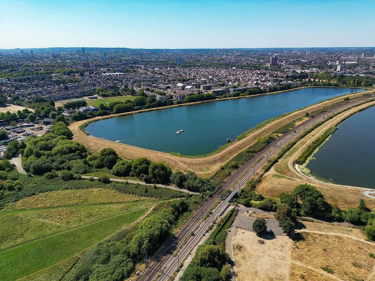
West Warwick Reservoir Russss · CC BY-SA 4.0 -
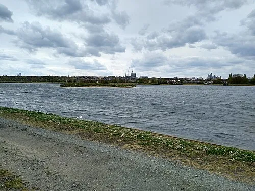
East Warwick Reservoir Mx. Granger · CC0 -
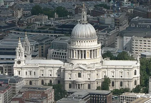
St Paul's Cathedral Mark Fosh · CC BY 2.0 -
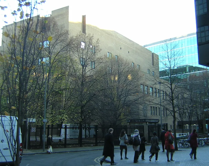
Southwark Crown Court Christopher Hilton · CC BY-SA 2.0 -
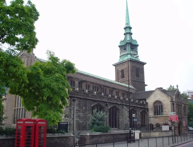
All Hallows-by-the-Tower Lonpicman · Public domain


Climate of Plaistow
Best months for sightseeingBest months for sightseeing: June–August.
This month · November
A cold month
Day 11° · Night 4° · Rain 61 mm
- Hottest month
- July (day 23°)
- Coldest month
- February (night 2°)
- Wettest month
- January (61 mm)
- Driest month
- February (39 mm)
Bars: average monthly low and high temperature. Below: precipitation. Monthly averages for 1970–2000 at about 18 km resolution, adjusted for elevation. Highlighted months are mild and relatively dry. Source: WorldClim 2.1 (CC BY 4.0).
Show values as a table
| Month | Jan | Feb | Mar | Apr | May | Jun | Jul | Aug | Sep | Oct | Nov | Dec |
|---|---|---|---|---|---|---|---|---|---|---|---|---|
| Average high (°C) | 8° | 8° | 11° | 13° | 17° | 20° | 23° | 23° | 19° | 15° | 11° | 8° |
| Average low (°C) | 2° | 2° | 3° | 4° | 7° | 10° | 13° | 12° | 10° | 7° | 4° | 3° |
| Precipitation (mm) | 61 | 39 | 46 | 43 | 46 | 51 | 42 | 48 | 56 | 60 | 61 | 58 |
How to get to Plaistow
The nearest airport is London City Airport (LCY), 4 km to the southeast as the crow flies. For international flights: London Heathrow Airport (LHR) (33 km). The nearest large city is Barking, 5 km to the east.
Airports
- London City Airport (LCY) London 4 kmsoutheast
- London Heathrow Airport (LHR) London 33 kmwest
- London Stansted Airport (STN) London, Essex 43 kmnorth
Nearby large cities
- Barking Population: 218.5K 5 kmeast
- Ilford Population: 168.2K 5 kmnortheast
- Walthamstow Population: 109.4K 7 kmnorth
- Islington Population: 319.1K 8 kmwest
- London Population: 9M 10 kmwest
Straight-line distances; road distances are longer. Airport data: OurAirports.
Day trips from Plaistow
Within 100 km: 828 historic and cultural sites, 587 natural sites, 325 lakes, rivers and coasts.
0–25 km394 places
- White Hart Lane Landmark 10 kmNW
- Lot's Ait Island 22 kmW
- Rook Island Island 5 kmNE
- Glover's Island Island 24 kmW
25–60 km581 places
- Isle of Sheppey Island 59 kmE
- Spotlites @ Kings Theatre Attraction 40 kmSE
- Yantlet beach Beach 46 kmE
- Osea Island Island 56 kmE
60–100 km765 places
- St Nicholas Church Shoreham Attraction 79 kmS
- The Marlipins Museum Museum 80 kmS
- Camber Sands Beach 86 kmSE
- West Mersea Beach Beach 69 kmNE
Straight-line distances.
Nearby attractions & nature
Everything nearby-
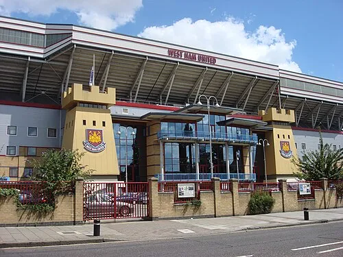 Upton Park Landmark, Newham1.9 km E
-
Stratford Langthorne Abbey Historic site, Newham1 km NW
-
Bait-ul-Ahad Attraction, Newham2 km NE
-
Since 9/11 Landmark, Newham2.1 km NW
-
Aquatics Centre Landmark, Newham2.2 km NW
-
Queen Elizabeth Olympic Park, London Natural site, Newham2.4 km NW
Other cities and towns in Newham
-
 Beckton Neighbourhood, Newham3.3 km SE
-
 Little Ilford Neighbourhood, Newham4.3 km NE
-
 Forest Gate Neighbourhood, Newham2.8 km N
-
 Upton Park Neighbourhood, Newham2.1 km E
-
 Silvertown Neighbourhood, Newham3.1 km SE
-
 North Woolwich Village, Newham4.6 km SE
Sources & licences
Data last updated: · 2 independent sources