- Elevation
- 12 m
- above sea level
- Local time
- UTC+00:00
- Europe/London · UTC+00:00
- Airports
- LCY London City Airport9 km
- LHR London Heathrow Airport27 km
About Riverside
Riverside is a neighbourhood. Location: Southwark, Greater London. The best months to visit are June–August. The nearest airport is London City Airport (9 km). Nearby sights include Tower Bridge and The Tower of London.
Photos of Riverside
-
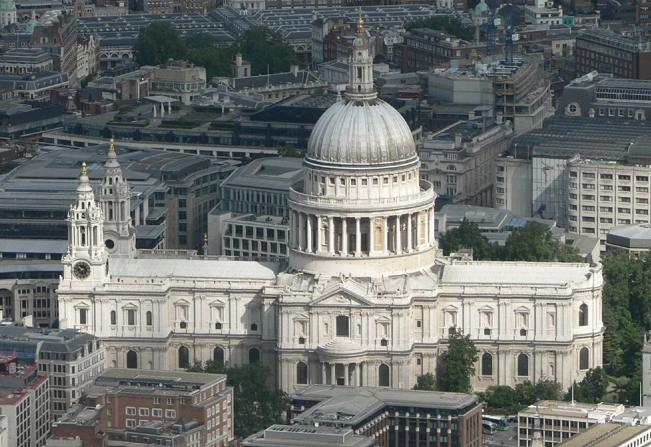
St Paul's Cathedral Mark Fosh · CC BY 2.0 -
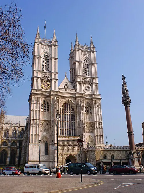
Westminster Abbey Σπάρτακος · CC BY-SA 3.0 -
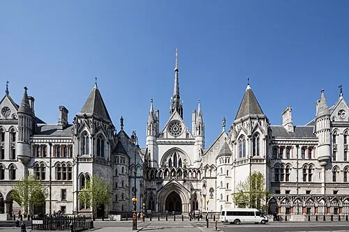
Royal Courts of Justice This image was produced by me, David Castor · CC0 -
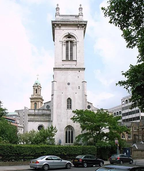
St Andrew, Holborn Steve Cadman from London, U.K · CC BY-SA 2.0 -
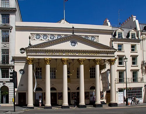
Theatre Royal Haymarket Tony Hisgett from Birmingham, UK · CC BY 2.0


Climate of Riverside
Best months for sightseeingBest months for sightseeing: June–August.
This month · November
A cold month
Day 11° · Night 4° · Rain 61 mm
- Hottest month
- July (day 23°)
- Coldest month
- February (night 2°)
- Wettest month
- January (62 mm)
- Driest month
- February (40 mm)
Bars: average monthly low and high temperature. Below: precipitation. Monthly averages for 1970–2000 at about 18 km resolution, adjusted for elevation. Highlighted months are mild and relatively dry. Source: WorldClim 2.1 (CC BY 4.0).
Show values as a table
| Month | Jan | Feb | Mar | Apr | May | Jun | Jul | Aug | Sep | Oct | Nov | Dec |
|---|---|---|---|---|---|---|---|---|---|---|---|---|
| Average high (°C) | 8° | 8° | 11° | 13° | 17° | 21° | 23° | 23° | 19° | 15° | 11° | 8° |
| Average low (°C) | 2° | 2° | 3° | 4° | 7° | 11° | 13° | 13° | 10° | 7° | 4° | 3° |
| Precipitation (mm) | 62 | 40 | 47 | 45 | 48 | 53 | 42 | 49 | 57 | 61 | 61 | 59 |
How to get to Riverside
The nearest airport is London City Airport (LCY), 9 km to the east as the crow flies. For international flights: London Heathrow Airport (LHR) (27 km). The nearest large city is London, 4 km to the west.
Airports
- London City Airport (LCY) London 9 kmeast
- London Heathrow Airport (LHR) London 27 kmwest
- London Gatwick Airport (LGW) London 40 kmsouth
Nearby large cities
- London Population: 9M 4 kmwest
- City of Westminster Population: 247.6K 5 kmwest
- Islington Population: 319.1K 5 kmnorthwest
- Archway Population: 215.7K 9 kmnorthwest
- Walthamstow Population: 109.4K 11 kmnorth
Straight-line distances; road distances are longer. Airport data: OurAirports.
Day trips from Riverside
Within 100 km: 821 historic and cultural sites, 580 natural sites, 327 lakes, rivers and coasts.
0–25 km422 places
- White Hart Lane Landmark 11 kmN
- Sunbury Court Island 25 kmSW
- Rivermead Island 25 kmSW
- Lot's Ait Island 16 kmW
25–60 km576 places
- Spotlites @ Kings Theatre Attraction 44 kmE
- Yantlet beach Beach 52 kmE
- The Lynch Island 57 kmW
- Northey Island Island 60 kmNE
60–100 km730 places
- Isle of Sheppey Island 64 kmE
- St Nicholas Church Shoreham Attraction 75 kmS
- The Marlipins Museum Museum 76 kmS
- Camber Sands Beach 87 kmSE
Straight-line distances.
Nearby attractions & nature
Everything nearby-
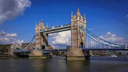 Tower Bridge Landmark, Tower Hamlets0.6 km NW
-
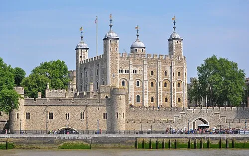 The Tower of London Historic site, Tower Hamlets0.9 km NW
-
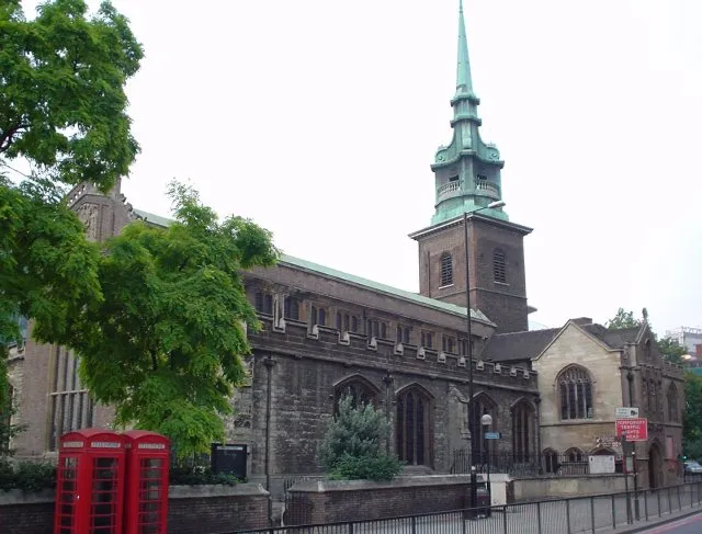 All Hallows-by-the-Tower Attraction, City of London1.1 km NW
-
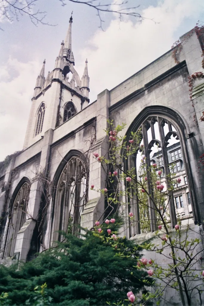 St Dunstan-in-the-East Historic site, City of London1.3 km NW
-
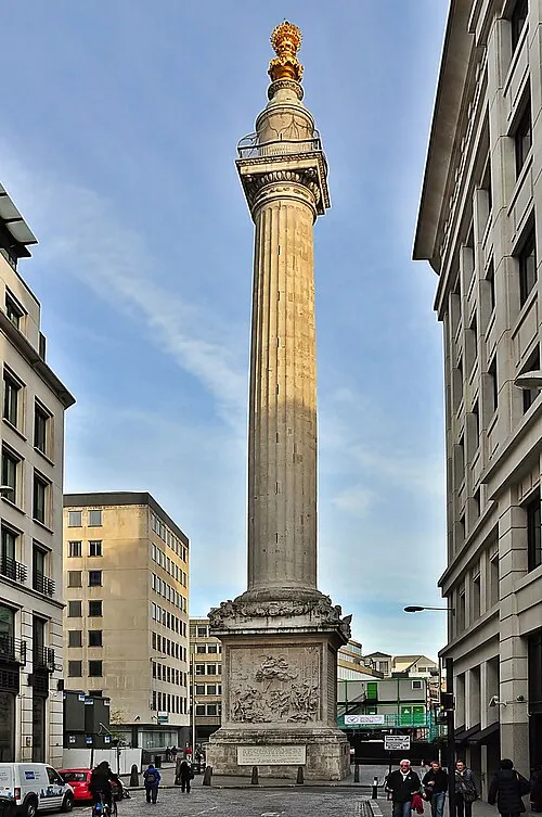 Monument to the Great Fire of London Landmark, City of London1.5 km NW
-
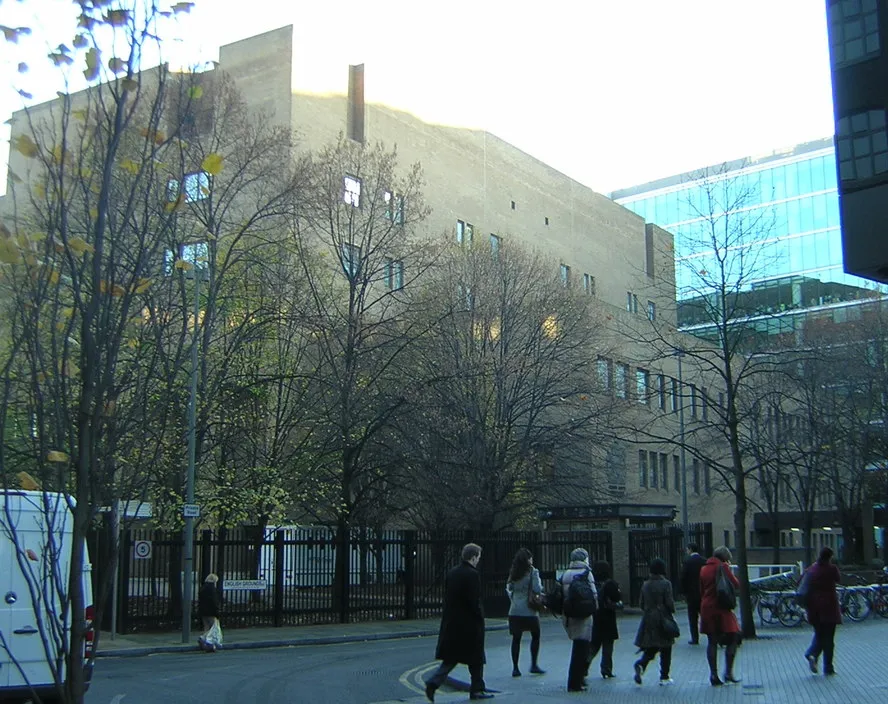 Southwark Crown Court Attraction, Southwark0.9 km NW
Other cities and towns in Southwark
-
 Peckham Neighbourhood, Southwark3 km S
-
 Nunhead Neighbourhood, Southwark4.1 km S
-
Kennington Village, Southwark2.8 km SW
-
 Bermondsey Village, Southwark0.5 km SE
-
East Dulwich Neighbourhood, Southwark5.3 km S
-
 Surrey Quays Neighbourhood, Southwark1.8 km SE
Sources & licences
Data last updated: