- Local time
- UTC+00:00
- Europe/London · UTC+00:00
- Elevation
- 4 m
- above sea level
- Airports
- LCY London City Airport16 km
- LHR London Heathrow Airport20 km
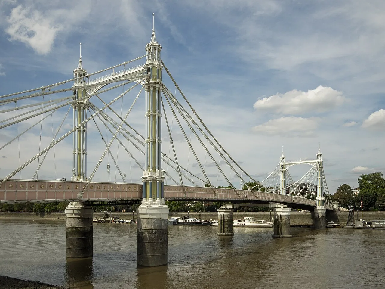
About Albert Bridge
Albert Bridge is a landmark. Location: Wandsworth, Greater London.
Albert Bridge is a road bridge over the River Thames connecting Chelsea on the north bank to Battersea on the south. Designed and built by Rowland Mason Ordish in 1873 as an Ordish–Lefeuvre system modified cable-stayed bridge, it proved to be structurally unsound, so between 1884 and 1887 Sir Joseph Bazalgette incorporated some of the design elements of a suspension bridge. In 1973 the Greater London Council (GLC) added two concrete piers, which transformed the central span into a simple beam bridge.
Source: Wikipedia · CC BY-SA 4.0
At a glance
- Opened
- 1873
- Heritage designation
- Grade II* listed building
- Height
- 20 m
- Length
- 0.2 km
Source: Wikidata
Photos of Albert Bridge
-

Diliff · CC BY-SA 3.0 -

donald judge · CC BY 2.0 -

Henry Kellner · CC BY-SA 3.0 -

Robert Dimov · CC BY-SA 3.0 -

Dan MacLeod · CC BY-SA 2.0


Climate of Albert Bridge
Best months for sightseeingBest months for sightseeing: June–August.
This month · November
A cold month
Day 11° · Night 5° · Rain 62 mm
- Hottest month
- July (day 23°)
- Coldest month
- February (night 2°)
- Wettest month
- January (63 mm)
- Driest month
- February (40 mm)
Bars: average monthly low and high temperature. Below: precipitation. Monthly averages for 1970–2000 at about 18 km resolution, adjusted for elevation. Highlighted months are mild and relatively dry. Source: WorldClim 2.1 (CC BY 4.0).
Show values as a table
| Month | Jan | Feb | Mar | Apr | May | Jun | Jul | Aug | Sep | Oct | Nov | Dec |
|---|---|---|---|---|---|---|---|---|---|---|---|---|
| Average high (°C) | 8° | 8° | 11° | 14° | 18° | 21° | 23° | 23° | 19° | 15° | 11° | 9° |
| Average low (°C) | 2° | 2° | 3° | 5° | 8° | 11° | 13° | 13° | 10° | 8° | 5° | 3° |
| Precipitation (mm) | 63 | 40 | 48 | 44 | 49 | 54 | 42 | 50 | 57 | 62 | 62 | 62 |
How to get to Albert Bridge
The nearest airport is London City Airport (LCY), 16 km to the east as the crow flies. For international flights: London Heathrow Airport (LHR) (20 km). The nearest large city is City of Westminster, 3 km to the northeast.
Airports
- London City Airport (LCY) London 16 kmeast
- London Heathrow Airport (LHR) London 20 kmwest
- London Gatwick Airport (LGW) London 37 kmsouth
Nearby large cities
- City of Westminster Population: 247.6K 3 kmnortheast
- London Population: 9M 4 kmnortheast
- Islington Population: 319.1K 7 kmnortheast
- Archway Population: 215.7K 10 kmnorth
- Croydon Population: 173.3K 12 kmsoutheast
Straight-line distances; road distances are longer. Airport data: OurAirports.
Day trips from Albert Bridge
Within 100 km: 827 historic and cultural sites, 600 natural sites, 326 lakes, rivers and coasts.
0–25 km439 places
- White Hart Lane Landmark 15 kmNE
- Sunbury Court Island 18 kmSW
- Rivermead Island 18 kmSW
- Lot's Ait Island 9 kmW
25–60 km567 places
- Spotlites @ Kings Theatre Attraction 50 kmE
- Yantlet beach Beach 58 kmE
- The Lynch Island 51 kmW
- Canvey Island Island 52 kmE
60–100 km747 places
- Portsea Island Natural site 99 kmSW
- Isle of Sheppey Island 70 kmE
- St Nicholas Church Shoreham Attraction 72 kmS
- The Marlipins Museum Museum 73 kmS
Straight-line distances.
Nearby attractions & nature
Everything nearby-
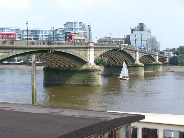 Battersea Bridge Landmark, Wandsworth0.4 km W
-
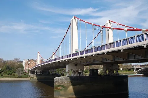 Chelsea Bridge Landmark, Royal Kensington and Chelsea1.2 km E
-
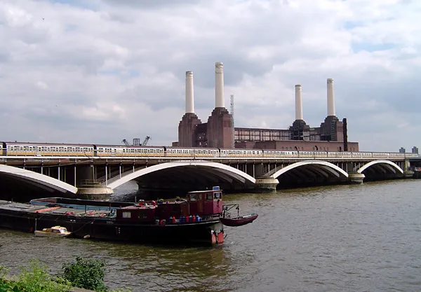 Grosvenor Bridge Landmark, City of Westminster1.4 km E
-
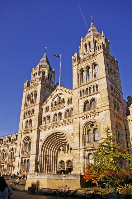 Natural History Museum Museum, Royal Kensington and Chelsea1.7 km N
-
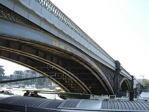 Cremorne Bridge Landmark, Hammersmith and Fulham1.3 km SW
-
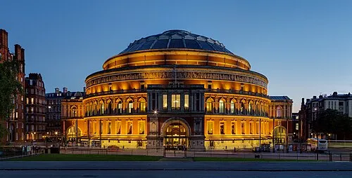 Royal Albert Hall Attraction, City of Westminster2.2 km N
-
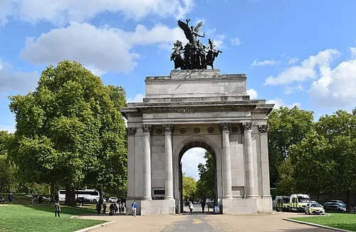 Constitution Arch Landmark, City of Westminster2.5 km NE
-
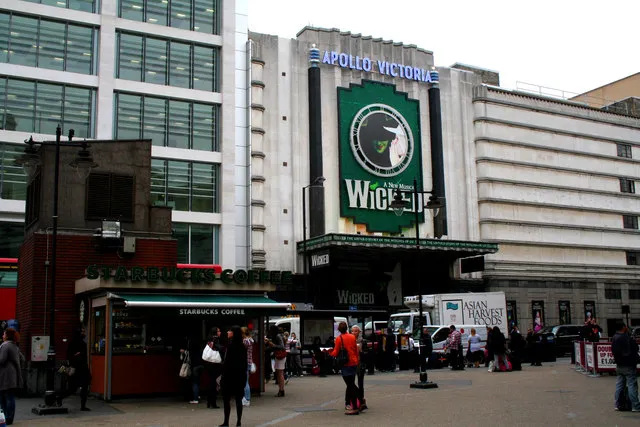 Apollo Victoria Theatre Attraction, City of Westminster2.2 km NE
Nearest towns and villages
-
 Chelsea Neighbourhood, Royal Kensington and Chelsea0.6 km N
-
Battersea Neighbourhood, Wandsworth1.2 km SE
-
Queenstown Neighbourhood, Wandsworth1.4 km E
-
Latchmere Neighbourhood, Wandsworth1.6 km S
More sights in Wandsworth
-
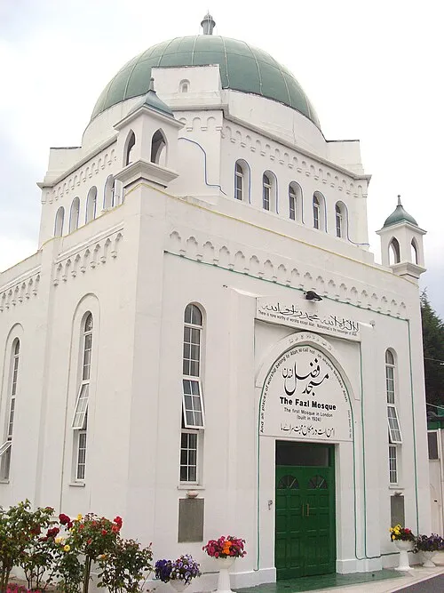 Fazl Mosque Attraction, Wandsworth4.5 km SW
-
Wimbledon Windmill Museum Museum, Wandsworth6.7 km SW
Sources & licences
Data last updated: · 2 independent sources