
- Population
- 16,132
- 16.1K
- Elevation
- 36 m
- above sea level
- Local time
- UTC+00:00
- Europe/London · UTC+00:00
- Airports
- LHR London Heathrow Airport15 km
- LCY London City Airport22 km
About Roehampton
Roehampton is a neighbourhood. Location: Wandsworth, Greater London. Population: 16,132.
Roehampton is an area in southwest London, sharing its SW15 postcode with neighbouring Putney and Kingston Vale, and takes up a far western strip, running north to south, in the London Borough of Wandsworth. It contains a number of large council house estates and is home to the University of Roehampton.
Source: Wikipedia · CC BY-SA 4.0
Photos of Roehampton
-
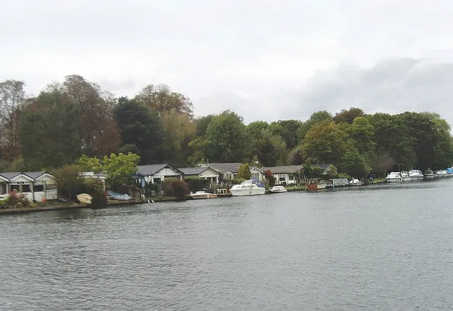
Trowlock Island David Kemp · CC BY-SA 2.0 -
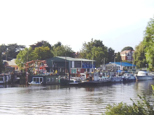
Swan Island David Kemp · CC BY-SA 2.0 -
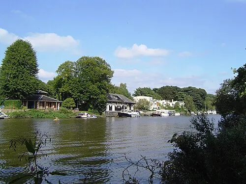
Eel Pie Island Motmit · CC BY-SA 3.0 -
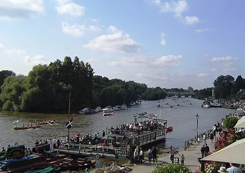
Corporation Island Motmit · CC BY-SA 3.0 -
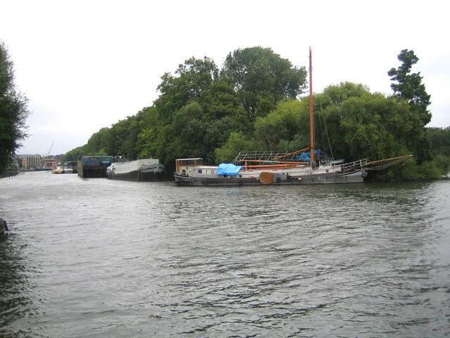
Isleworth Eyot Nigel Cox · CC BY-SA 2.0


Climate of Roehampton
Best months for sightseeingBest months for sightseeing: June–August.
This month · November
A cold month
Day 11° · Night 4° · Rain 62 mm
- Hottest month
- July (day 23°)
- Coldest month
- February (night 2°)
- Wettest month
- January (63 mm)
- Driest month
- February (40 mm)
Bars: average monthly low and high temperature. Below: precipitation. Monthly averages for 1970–2000 at about 18 km resolution, adjusted for elevation. Highlighted months are mild and relatively dry. Source: WorldClim 2.1 (CC BY 4.0).
Show values as a table
| Month | Jan | Feb | Mar | Apr | May | Jun | Jul | Aug | Sep | Oct | Nov | Dec |
|---|---|---|---|---|---|---|---|---|---|---|---|---|
| Average high (°C) | 8° | 8° | 11° | 13° | 17° | 21° | 23° | 23° | 19° | 15° | 11° | 9° |
| Average low (°C) | 2° | 2° | 3° | 4° | 8° | 11° | 13° | 13° | 10° | 7° | 4° | 3° |
| Precipitation (mm) | 63 | 40 | 48 | 44 | 49 | 54 | 42 | 50 | 57 | 62 | 62 | 62 |
How to get to Roehampton
The nearest airport is London Heathrow Airport (LHR), 15 km to the west as the crow flies. The nearest large city is City of Westminster, 9 km to the northeast.
Airports
- London Heathrow Airport (LHR) London 15 kmwest
- London City Airport (LCY) London 22 kmeast
- London Gatwick Airport (LGW) London 34 kmsouth
Nearby large cities
- City of Westminster Population: 247.6K 9 kmnortheast
- London Population: 9M 10 kmnortheast
- Sutton Population: 187.6K 12 kmsouth
- Croydon Population: 173.3K 13 kmsoutheast
- Islington Population: 319.1K 14 kmnortheast
Straight-line distances; road distances are longer. Airport data: OurAirports.
Day trips from Roehampton
Within 100 km: 843 historic and cultural sites, 607 natural sites, 325 lakes, rivers and coasts.
0–25 km481 places
- White Hart Lane Landmark 21 kmNE
- Holm Island Island 20 kmW
- Sunbury Court Island 11 kmSW
- Rivermead Island 12 kmSW
25–60 km518 places
- Spotlites @ Kings Theatre Attraction 55 kmE
- The Lynch Island 45 kmW
- Canvey Island Island 58 kmE
- St Mary's Island Island 55 kmE
60–100 km776 places
- Portsea Island Natural site 93 kmSW
- Isle of Sheppey Island 75 kmE
- St Nicholas Church Shoreham Attraction 68 kmS
- The Marlipins Museum Museum 69 kmS
Straight-line distances.
Nearby attractions & nature
Everything nearby-
Putney Heath Natural site, Wandsworth0.8 km E
-
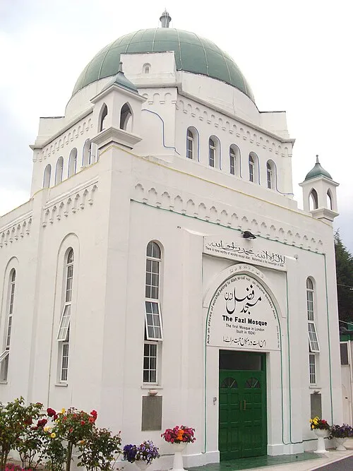 Fazl Mosque Attraction, Wandsworth2.5 km E
-
Putney Heath Mountain, Wandsworth1.4 km SE
-
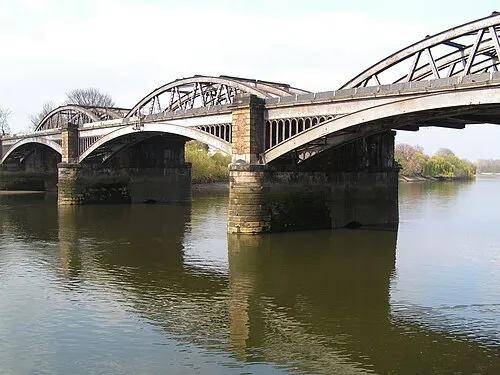 Barnes Railway Bridge Landmark, Hounslow2.5 km N
-
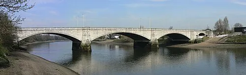 Chiswick Bridge Landmark, Hounslow3 km NW
-
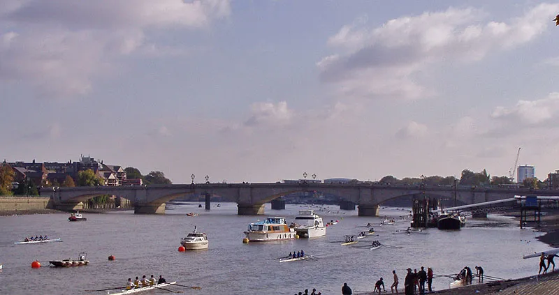 Putney Bridge Landmark, Hammersmith and Fulham2.8 km NE
Other cities and towns in Wandsworth
-
 Tooting Neighbourhood, Wandsworth6.3 km SE
-
Battersea Neighbourhood, Wandsworth6.7 km NE
-
Latchmere Neighbourhood, Wandsworth5.5 km E
-
Queenstown Neighbourhood, Wandsworth7.3 km NE
-
Furzedown Neighbourhood, Wandsworth7.4 km SE
-
Southfields Neighbourhood, Wandsworth2.9 km E
Sources & licences
Data last updated: · 2 independent sources