Basingstoke and Deane District
Located in Hampshire, England Coordinates: 51°15′30″ N 1°12′58″ W
- Population
- 174,588
- 174.6K
- Elevation
- 139 m
- above sea level
- Local time
- UTC+00:00
- Europe/London · UTC+00:00
- Places inside
- 71
- listed under Basingstoke and Deane District
About Basingstoke and Deane District
Basingstoke and Deane District is a municipality. Location: Hampshire, England. Population: 174,588. Elevation: 139 m.
In comparison
- No. 2 of 11 places in Hampshire by population
- Nearest larger town: Reading, 28 km NE
- 12 sights and natural places within 10 km Woodgarston, Cottington's Hill
- Listed here: Village: 55, Neighbourhood: 13, City: 1, Historic site: 1
Climate of Basingstoke and Deane District
Best months for sightseeing: June–August.
| Month | Jan | Feb | Mar | Apr | May | Jun | Jul | Aug | Sep | Oct | Nov | Dec |
|---|---|---|---|---|---|---|---|---|---|---|---|---|
| Average high (°C) | 7° | 7° | 9° | 12° | 16° | 19° | 21° | 21° | 18° | 14° | 10° | 8° |
| Average low (°C) | 1° | 1° | 2° | 4° | 7° | 9° | 11° | 11° | 9° | 7° | 4° | 2° |
| Precipitation (mm) | 83 | 56 | 62 | 48 | 51 | 57 | 46 | 56 | 68 | 78 | 82 | 84 |
Monthly averages for 1970–2000 at about 18 km resolution, adjusted for elevation. Highlighted months are mild and relatively dry. Source: WorldClim 2.1 (CC BY 4.0).
Airports nearest to Basingstoke and Deane District
- Southampton Airport (SOU) Southampton 36 km
- London Heathrow Airport (LHR) London 58 km
- Bournemouth Airport (BOH) Bournemouth 69 km
Straight-line distance; airports with scheduled flights only. Source: OurAirports (public domain).
Places in Basingstoke and Deane District
71 places-
Basingstoke City107.6K
-
Ashford Hill with Headley Village
-
Ashmansworth Village
-
Baughurst Village
-
Black Dam Neighbourhood
-
Bradley Village
-
Bramley Village
-
Brighton Hill Neighbourhood
-
Buckskin Neighbourhood
-
Burghclere Village
-
Candovers Village
-
Chineham Village
-
Cliddesden Village
-
Daneshill Neighbourhood
-
Deane Village
-
Dummer Village
-
Eastrop Neighbourhood
-
East Woodhay Village
-
Ellisfield Village
-
Farleigh Wallop Village
-
Hannington Village
-
Hartley Wespall Village
-
Hatch Warren Neighbourhood
-
Herriard Village
-
Highclere Village
-
Holy Ghost Ruins Historic site
-
Houndmills Neighbourhood
-
Hurstbourne Priors Village
-
Kempshott Village
-
Kingsclere Village
-
Kings Furlong Neighbourhood
-
Laverstoke Village
-
Litchfield and Woodcott Village
-
Mapledurwell and Up Nately Village
-
Milestones Museum
-
Monk Sherborne Village
-
Mortimer West End Village
-
Newnham Village
-
Newtown Village
-
North Waltham Village
-
Nutley Village
-
Oakley Village
-
Old Basing and Lychpit Village
-
Overton Village
-
Pamber Village
-
Popham Village
-
Popley Village
-
Preston Candover Village
-
Rooksdown Village
-
Sherborne St. John Village
-
Sherfield on Loddon Village
-
Silchester Village
-
South Ham Neighbourhood
-
South View Neighbourhood
-
Steventon Village
-
St. Mary Bourne Village
-
Stratfield Saye Village
-
Stratfield Turgis Village
-
Tadley Village
Nearby attractions & nature
Everything nearby-
Festival Place Natural site, Hampshire9.2 km E
-
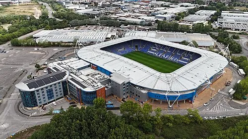 Madejski Stadium Landmark, Reading24 km NE
-
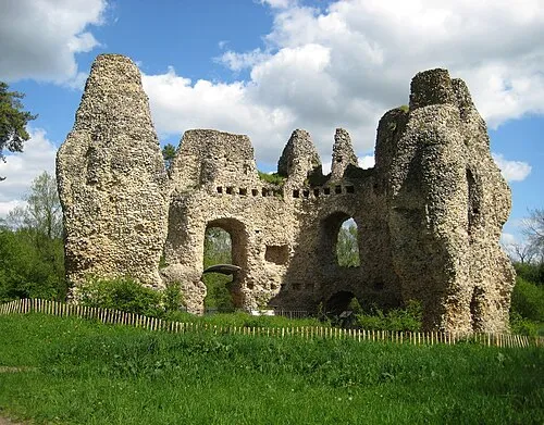 Odiham Castle Historic site, Odiham18 km E
-
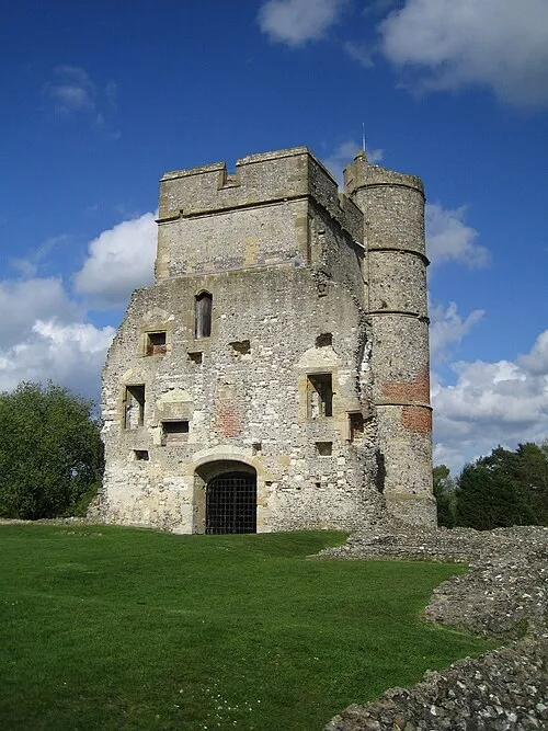 Donnington Castle Historic site, Shaw cum Donnington20 km NW
-
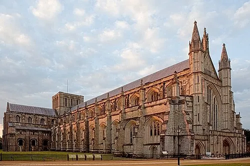 Winchester Cathedral Attraction, Winchester District23 km S
-
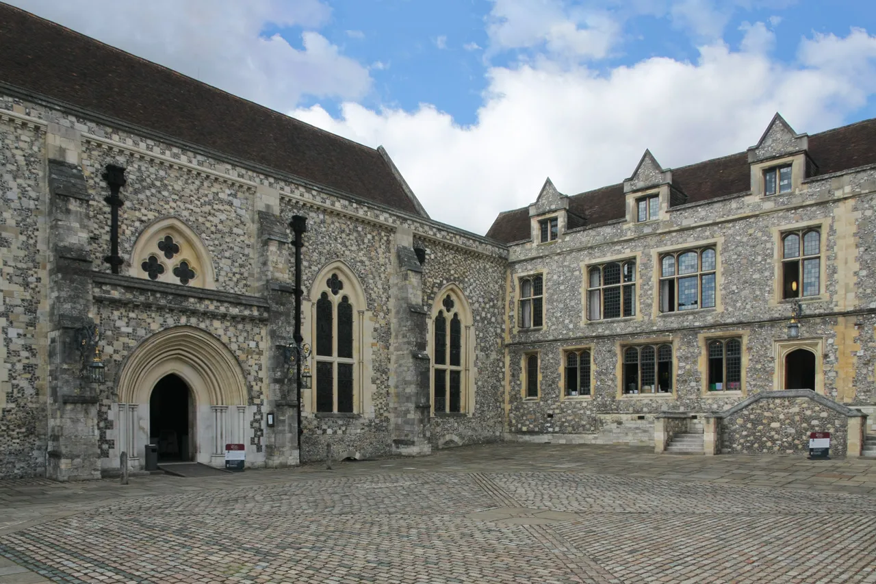 Winchester Castle Historic site, Winchester District23 km S
-
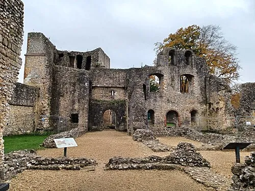 Wolvesey Castle Historic site, Winchester District23 km S
-
Barton Castle Historic site, Wield15 km SE
Sources & licences
Data last updated: