- Population
- 121,965
- 122K
- Elevation
- 101 m
- above sea level
- Local time
- UTC+00:00
- Europe/London · UTC+00:00
- Places inside
- 69
- listed under Winchester District
- Airports
- SOU Southampton Airport12 km
- BOH Bournemouth Airport50 km
About Winchester District
Winchester District is a municipality. Location: Hampshire, England. Population: 121,965. Elevation: 101 m. The best months to visit are June–August. The nearest airport is Southampton Airport (12 km). Nearby sights include St Mary's Stadium and Gains Castle.
Climate of Winchester District
Best months for sightseeingBest months for sightseeing: June–August.
This month · November
A cold month
Day 10° · Night 4° · Rain 86 mm
- Hottest month
- July (day 22°)
- Coldest month
- February (night 1°)
- Wettest month
- December (87 mm)
- Driest month
- July (45 mm)
Bars: average monthly low and high temperature. Below: precipitation. Monthly averages for 1970–2000 at about 18 km resolution, adjusted for elevation. Highlighted months are mild and relatively dry. Source: WorldClim 2.1 (CC BY 4.0).
Show values as a table
| Month | Jan | Feb | Mar | Apr | May | Jun | Jul | Aug | Sep | Oct | Nov | Dec |
|---|---|---|---|---|---|---|---|---|---|---|---|---|
| Average high (°C) | 7° | 7° | 10° | 12° | 16° | 19° | 22° | 21° | 18° | 14° | 10° | 8° |
| Average low (°C) | 1° | 1° | 2° | 4° | 7° | 9° | 12° | 11° | 9° | 7° | 4° | 2° |
| Precipitation (mm) | 86 | 56 | 62 | 47 | 48 | 55 | 45 | 54 | 69 | 81 | 86 | 87 |
How to get to Winchester District
The nearest airport is Southampton Airport (SOU), 12 km to the southwest as the crow flies. For international flights: London Heathrow Airport (LHR) (74 km). The nearest large city is Southampton, 18 km to the southwest.
Airports
- Southampton Airport (SOU) Southampton 12 kmsouthwest
- Bournemouth Airport (BOH) Bournemouth 50 kmsouthwest
- London Heathrow Airport (LHR) London 74 kmnortheast
Nearby large cities
- Southampton Population: 269.8K 18 kmsouthwest
- Portsmouth Population: 208.1K 27 kmsoutheast
- Basingstoke Population: 107.6K 29 kmnorth
- Reading Population: 318K 52 kmnorth
- Bournemouth Population: 163.6K 56 kmsouthwest
Straight-line distances; road distances are longer. Airport data: OurAirports.
Day trips from Winchester District
Within 100 km: 588 historic and cultural sites, 734 natural sites, 244 lakes, rivers and coasts.
0–25 km103 places
- Calshot Beach Beach 24 kmS
- Horsea Island Island 24 kmSE
- Swan Island Island 20 kmNW
- May's Island Island 18 kmW
25–60 km452 places
- Portsea Island Natural site 28 kmSE
- Isle of Wight Island 39 kmS
- Avon Beach Beach 48 kmSW
- Climping Beach Beach 53 kmSE
60–100 km1,011 places
- Brownsea Island Island 63 kmSW
- St Nicholas Church Shoreham Attraction 70 kmE
- The Marlipins Museum Museum 71 kmE
- Studland Beach Beach 64 kmSW
Straight-line distances.
Winchester District and similar cities
Side by side with cities of similar size in the same country: population, elevation and climate.
| Measure | Winchester District | Burton-on-Trent | Crawley | Cheltenham |
|---|---|---|---|---|
| Population | 122K | 122.2K | 124K | 118.8K |
| Elevation | 101 m | 49 m | 84 m | 60 m |
| Summer day (hottest month) | 22° | 21° | 22° | 22° |
| Winter night (coldest month) | 1° | 1° | 1° | 1° |
| Annual rainfall | 776 mm | 678 mm | 755 mm | 800 mm |
| Best months | Jun–Aug | Jun–Aug | Jun–Aug | Jun–Aug |
| Distance | — | 200 km | 75 km | 113 km |
Climate values are 1970–2000 monthly averages; straight-line distance.
Places in Winchester District
69 placesBar: population relative to the most populous place in this list.
Cities & villages55
- Abbotts Barton · Neighbourhood
- Badger Farm · Village
- Bar End · Neighbourhood
- Beauworth · Village
- Bighton · Village
- Bishops Sutton · Village
- Bishops Waltham · Village
- Boarhunt · Village
- Bramdean and Hinton Ampner · Village
- Cheriton · Village
- Chilcomb · Village
- Colden Common · Village
- Compton and Shawford · Village
- Corhampton and Meonstoke · Village
- Crawley · Village
- Curdridge · Village
- Denmead · Village
- Droxford · Village
- Durley · Village
- Exton · Village
- Fairdown · Neighbourhood
- Fulflood · Neighbourhood
- Hambledon · Village
- Headbourne Worthy · Village
- Highcliffe · Neighbourhood
- Hursley · Village
- Hyde · Neighbourhood
- Itchen Stoke and Ovington · Village
- Itchen Valley · Village
- Kilmiston · Village
- Kings Worthy · Village
- Littleton and Harestock · Village
- Micheldever · Village
- New Alresford · Village
- Northington · Village
- Old Alresford · Village
- Olivers Battery · Village
- Otterbourne · Village
- Owslebury · Village
- Shedfield · Village
- Sleepers' Hill · Neighbourhood
- Soberton · Village
- Southwick and Widley · Village
- South Wonston · Village
- Sparsholt · Village
- Stanmore · Neighbourhood
- St Cross · Neighbourhood
- St Giles's Hill · Neighbourhood
- Swanmore · Village
- The Close · Neighbourhood
- The Soke · Neighbourhood
- Tichborne · Village
- Twyford · Village
- Warnford · Village
- Weeke · Village
Mountains & nature2
- St Catherine's Hill · Mountain
- St. Cross Park · Natural site
Heritage & sights1
- Roman wall · Historic site
Nearby attractions & nature
Everything nearby-
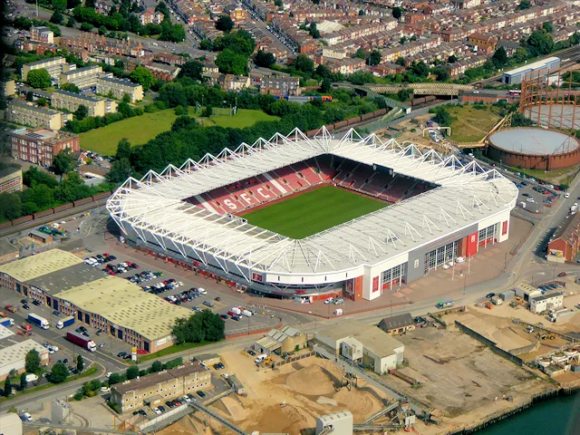 St Mary's Stadium Landmark, Southampton17 km SW
-
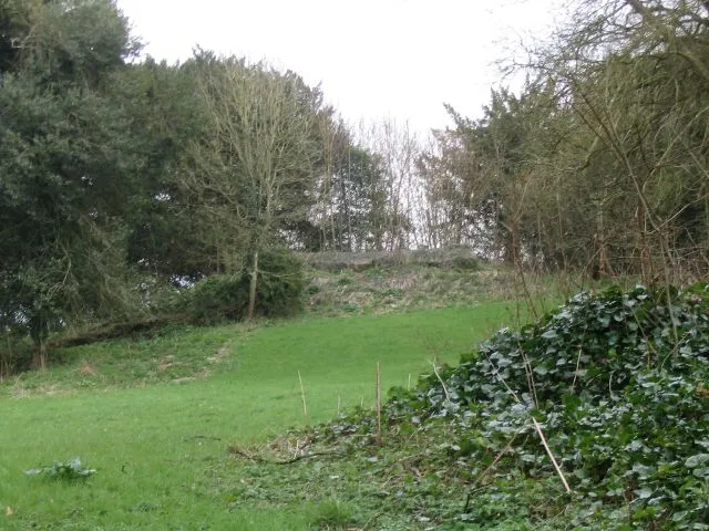 Gains Castle Historic site, Ashley16 km W
-
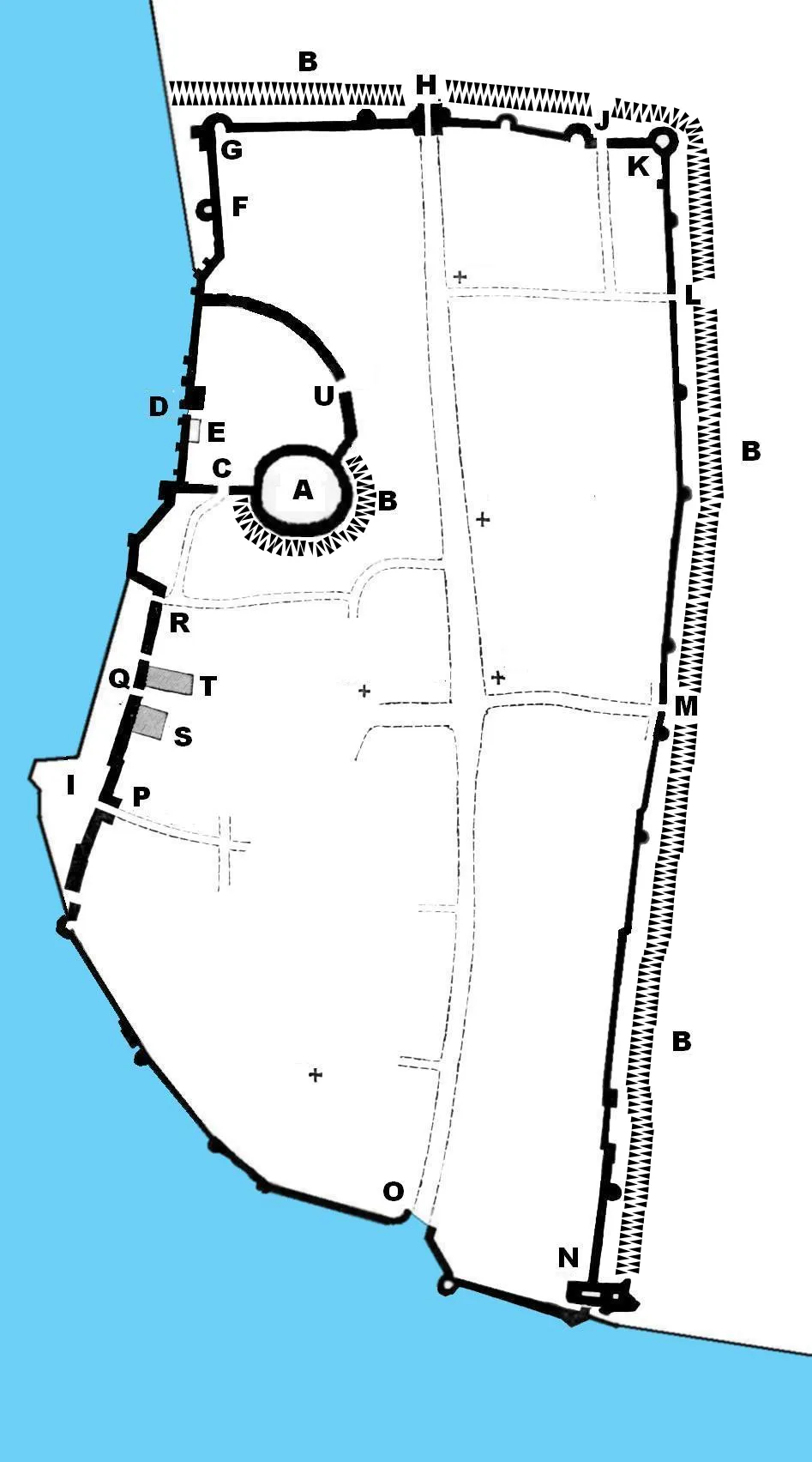 Southampton Castle Historic site, Southampton18 km SW
-
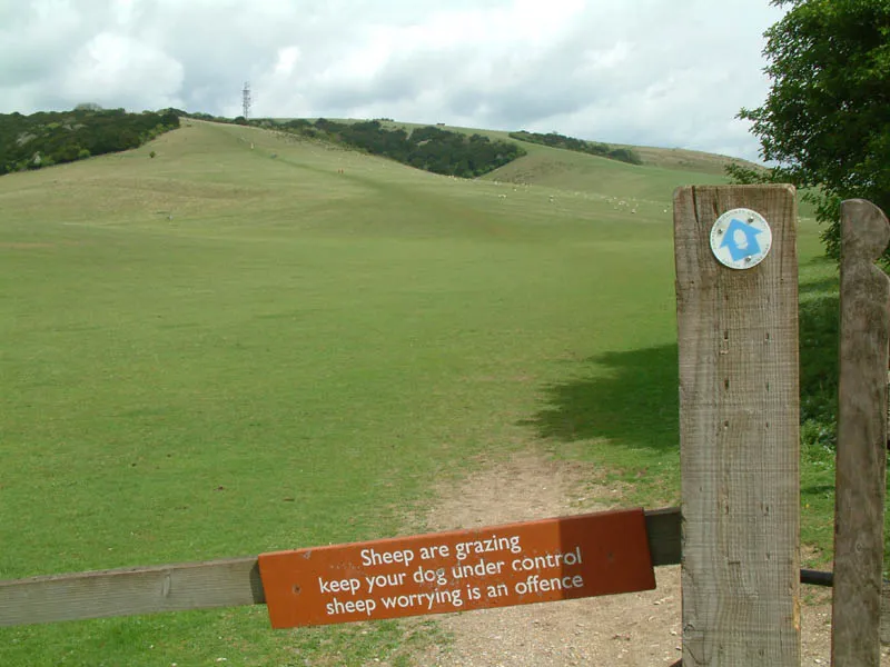 Butser Hill Mountain, Buriton19 km E
-
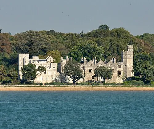 Netley Castle Historic site, Hound18 km SW
-
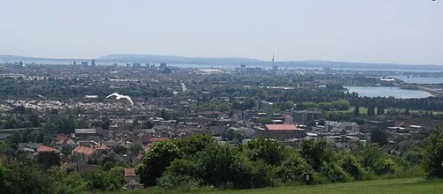 Ports Down Mountain, Portsmouth21 km SE
-
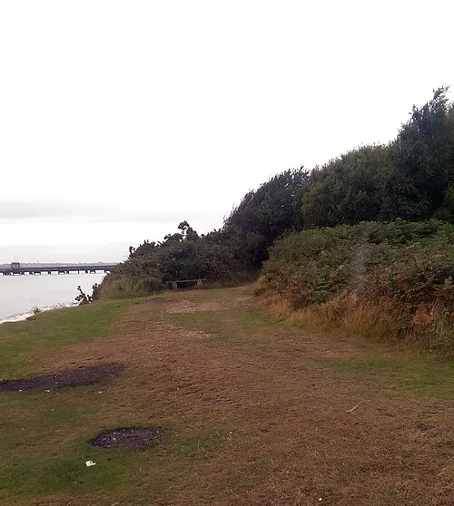 St Andrews Castle Historic site, Hamble-le-Rice20 km S
-
Barton Castle Historic site, Wield15 km NE
Sources & licences
Data last updated: