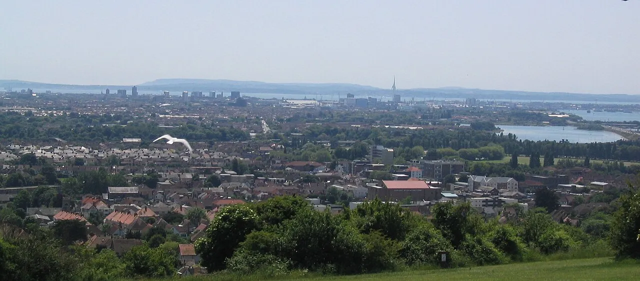
- Elevation
- 125 m
- above sea level
- Local time
- UTC+00:00
- Europe/London · UTC+00:00
- Airports
- SOU Southampton Airport20 km
- BOH Bournemouth Airport52 km
About Ports Down
Ports Down is a mountain. Location: Portsmouth, England. Elevation: 125 m.
Portsdown Hill is a long chalk ridge in Hampshire, England. The highest point of the hill lies within Fort Southwick at 131 m above sea level. The ridge offers good views to the south over Portsmouth, the Solent, Hayling Island and Gosport, with the Isle of Wight beyond. The hill is on the mainland, just to the north of Portsea Creek, which separates the mainland from Portsea Island, on which lies the main part of the city of Portsmouth, one of the United Kingdom's main naval bases.
Source: Wikipedia · CC BY-SA 4.0
Photos of Ports Down
-

Peter Tully · CC BY-SA 2.0 -

Tim Sheerman-Chase · CC BY 2.0 -

Tim Sheerman-Chase · CC BY 2.0 -

Marathon · CC BY-SA 2.0 -

Djm-leighpark · CC BY-SA 4.0


Climate of Ports Down
Best months for sightseeingBest months for sightseeing: June–August.
This month · November
A cold month
Day 10° · Night 4° · Rain 95 mm
- Hottest month
- July (day 21°)
- Coldest month
- February (night 1°)
- Wettest month
- January (95 mm)
- Driest month
- July (47 mm)
Bars: average monthly low and high temperature. Below: precipitation. Monthly averages for 1970–2000 at about 18 km resolution, adjusted for elevation. Highlighted months are mild and relatively dry. Source: WorldClim 2.1 (CC BY 4.0).
Show values as a table
| Month | Jan | Feb | Mar | Apr | May | Jun | Jul | Aug | Sep | Oct | Nov | Dec |
|---|---|---|---|---|---|---|---|---|---|---|---|---|
| Average high (°C) | 7° | 7° | 10° | 12° | 16° | 19° | 21° | 21° | 18° | 14° | 10° | 8° |
| Average low (°C) | 2° | 1° | 3° | 4° | 7° | 10° | 12° | 12° | 10° | 7° | 4° | 3° |
| Precipitation (mm) | 95 | 62 | 70 | 52 | 50 | 57 | 47 | 57 | 75 | 89 | 95 | 95 |
How to get to Ports Down
The nearest airport is Southampton Airport (SOU), 20 km to the northwest as the crow flies. For international flights: London Gatwick Airport (LGW) (73 km). The nearest large city is Portsmouth, 7 km to the south.
Airports
- Southampton Airport (SOU) Southampton 20 kmnorthwest
- Bournemouth Airport (BOH) Bournemouth 52 kmwest
- London Gatwick Airport (LGW) London 73 kmnortheast
Nearby large cities
- Portsmouth Population: 208.1K 7 kmsouth
- Southampton Population: 269.8K 21 kmwest
- Basingstoke Population: 107.6K 45 kmnorth
- Worthing Population: 113.9K 52 kmeast
- Bournemouth Population: 163.6K 56 kmwest
Straight-line distances; road distances are longer. Airport data: OurAirports.
Day trips from Ports Down
Within 100 km: 436 historic and cultural sites, 655 natural sites, 233 lakes, rivers and coasts.
0–25 km150 places
- Portsea Island Natural site 7 kmSE
- Isle of Wight Island 23 kmSW
- Calshot Beach Beach 15 kmW
- Bembridge Beach Beach 18 kmS
25–60 km326 places
- St Nicholas Church Shoreham Attraction 58 kmE
- The Marlipins Museum Museum 59 kmE
- Avon Beach Beach 46 kmW
- Climping Beach Beach 38 kmE
60–100 km848 places
- Brownsea Island Island 63 kmW
- Studland Beach Beach 63 kmW
- Man O'War Beach Beach 86 kmW
- Round Island Island 67 kmW
Straight-line distances.
Nearest towns and villages
-
 Portchester Village, Fareham District2 km S
-
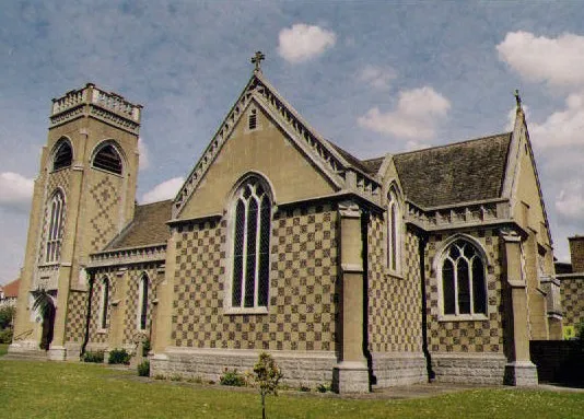 Cosham Town, Portsmouth3.6 km E
-
 Hilsea Village, Portsmouth4.5 km SE
-
Paulsgrove Neighbourhood, Portsmouth1 km SE
-
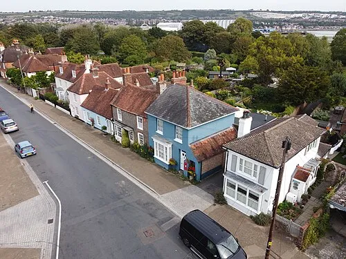 Fareham Town, Fareham District4.8 km W
-
 Wymering Neighbourhood, Portsmouth2.7 km E
Nearby attractions & nature
Everything nearby-
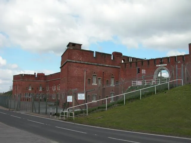 Fort Southwick Historic site, Southwick and Widley1 km NW
-
Horsea Island Island, Portsmouth2.9 km SE
-
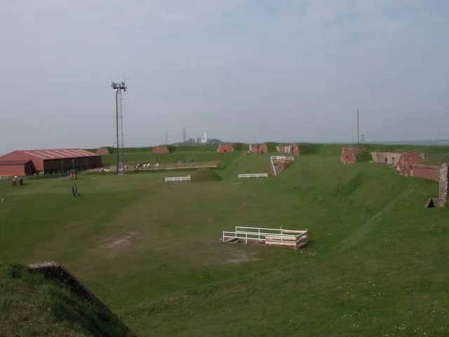 Fort Widley Historic site, Portsmouth3.1 km E
-
Pinsley Motte Historic site, Southwick and Widley1.3 km E
-
Pewit Island Island, Portsmouth3.5 km SW
-
Whale Island Island, Portsmouth4.7 km S
-
Portsmouth Harbour Natural site, England4.7 km S
-
Portchester Castle Historic site, Fareham District2.4 km S
Sources & licences
Data last updated: · 2 independent sources