- Local time
- UTC+00:00
- Europe/London · UTC+00:00
- Elevation
- 99 m
- above sea level
- Airports
- SOU Southampton Airport23 km
- BOH Bournemouth Airport55 km
About Fort Widley
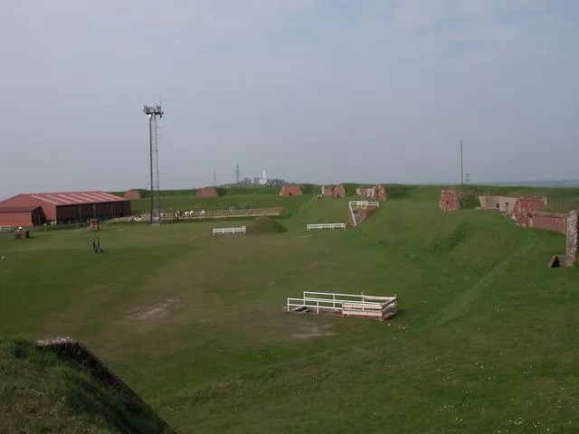
Fort Widley is a historic site. Location: Portsmouth, England.
Fort Widley is one of the forts built on top of Portsdown Hill between 1860 and 1868 on the recommendation of the Royal Commission on the Defence of the United Kingdom. It was designed, along with the other Palmerston Forts atop Portsdown, to protect Portsmouth from attack from the rear.
Source: Wikipedia · CC BY-SA 4.0
At a glance
- Built
- 1860
- Heritage designation
- Grade II* listed building, scheduled monument
Source: Wikidata
Photos of Fort Widley
-

Marathon · CC BY-SA 2.0 -

Tim Sheerman-Chase · CC BY 2.0 -

TimSC · CC BY-SA 4.0 -

Tim Sheerman-Chase · CC BY 2.0 -

Rob Young from United Kingdom · CC BY 2.0


Climate of Fort Widley
Best months for sightseeingBest months for sightseeing: June–August.
This month · November
A cold month
Day 10° · Night 4° · Rain 95 mm
- Hottest month
- July (day 21°)
- Coldest month
- February (night 2°)
- Wettest month
- January (95 mm)
- Driest month
- July (47 mm)
Bars: average monthly low and high temperature. Below: precipitation. Monthly averages for 1970–2000 at about 18 km resolution, adjusted for elevation. Highlighted months are mild and relatively dry. Source: WorldClim 2.1 (CC BY 4.0).
Show values as a table
| Month | Jan | Feb | Mar | Apr | May | Jun | Jul | Aug | Sep | Oct | Nov | Dec |
|---|---|---|---|---|---|---|---|---|---|---|---|---|
| Average high (°C) | 7° | 7° | 10° | 12° | 16° | 19° | 21° | 21° | 18° | 14° | 10° | 8° |
| Average low (°C) | 2° | 2° | 3° | 4° | 7° | 10° | 12° | 12° | 10° | 7° | 4° | 3° |
| Precipitation (mm) | 95 | 62 | 70 | 52 | 50 | 57 | 47 | 57 | 75 | 89 | 95 | 95 |
How to get to Fort Widley
The nearest airport is Southampton Airport (SOU), 23 km to the northwest as the crow flies. For international flights: London Gatwick Airport (LGW) (70 km). The nearest large city is Portsmouth, 6 km to the south.
Airports
- Southampton Airport (SOU) Southampton 23 kmnorthwest
- Bournemouth Airport (BOH) Bournemouth 55 kmwest
- London Gatwick Airport (LGW) London 70 kmnortheast
Nearby large cities
- Portsmouth Population: 208.1K 6 kmsouth
- Southampton Population: 269.8K 24 kmwest
- Basingstoke Population: 107.6K 45 kmnorth
- Worthing Population: 113.9K 49 kmeast
- Bournemouth Population: 163.6K 59 kmwest
Straight-line distances; road distances are longer. Airport data: OurAirports.
Day trips from Fort Widley
Within 100 km: 478 historic and cultural sites, 655 natural sites, 231 lakes, rivers and coasts.
0–25 km148 places
- Portsea Island Natural site 6 kmS
- Isle of Wight Island 25 kmSW
- Calshot Beach Beach 18 kmW
- Bembridge Beach Beach 18 kmS
25–60 km321 places
- St Nicholas Church Shoreham Attraction 55 kmE
- The Marlipins Museum Museum 56 kmE
- Avon Beach Beach 49 kmW
- Climping Beach Beach 35 kmE
60–100 km895 places
- Brownsea Island Island 66 kmW
- Studland Beach Beach 65 kmW
- Man O'War Beach Beach 89 kmW
- Round Island Island 70 kmW
Straight-line distances.
Nearby attractions & nature
Everything nearby-
Pinsley Motte Historic site, Southwick and Widley1.9 km NW
-
Fort Purbrook Historic site, Havant District2.2 km E
-
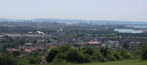 Ports Down Mountain, Portsmouth3.1 km W
-
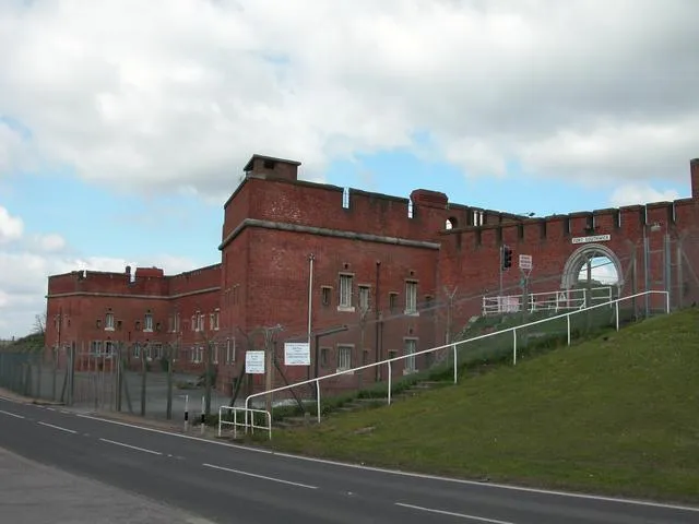 Fort Southwick Historic site, Southwick and Widley3.7 km W
-
Farlington Marshes Mediumwave Transmitter Landmark, Portsmouth3.3 km SE
-
Place Wood Motte Historic site, Southwick and Widley3.4 km NW
-
Horsea Island Island, Portsmouth2.5 km SW
-
Portchester Castle Historic site, Fareham District3.7 km SW
Nearest towns and villages
-
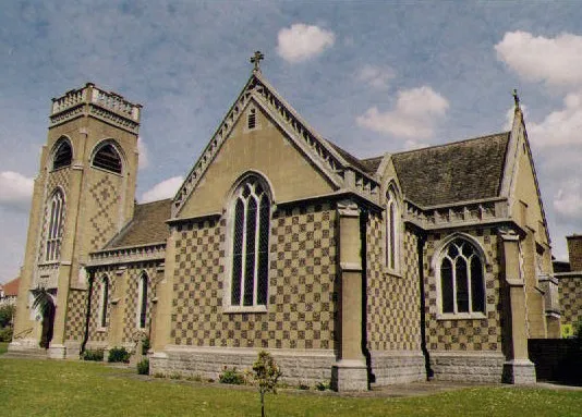 Cosham Town, Portsmouth0.9 km S
-
 Hilsea Village, Portsmouth2.6 km S
-
 Purbrook Village, Havant District2.7 km NE
-
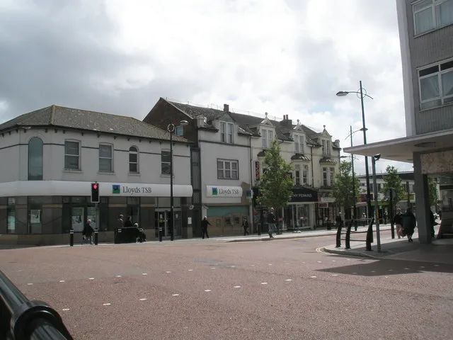 Waterlooville Town, Havant District4 km NE
More sights in Portsmouth
-
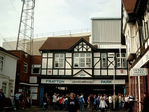 Fratton Park Landmark, Portsmouth6.5 km S
-
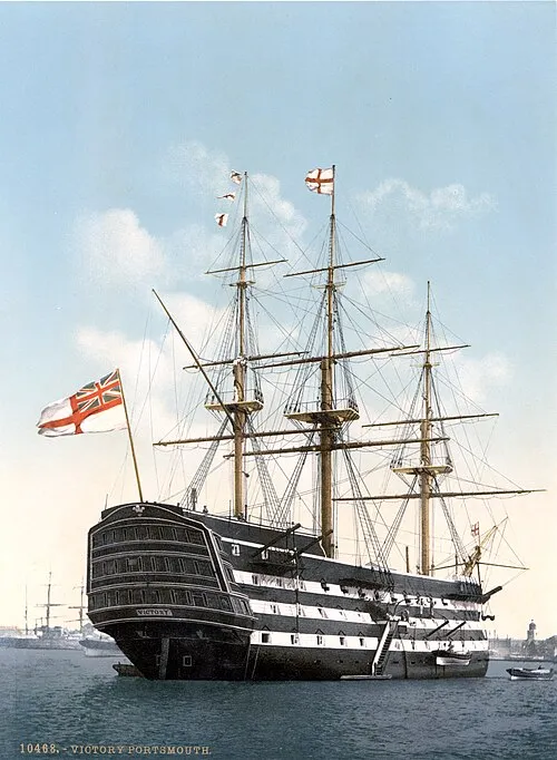 HMS Victory Museum, Portsmouth6.5 km SW
-
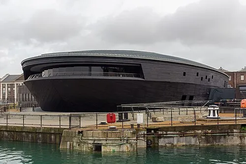 Mary Rose Museum Museum, Portsmouth6.5 km SW
-
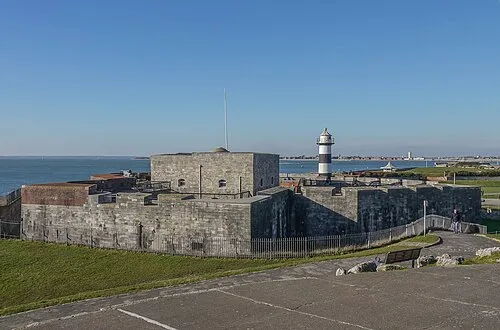 Southsea Castle Historic site, Southsea8.6 km S
-
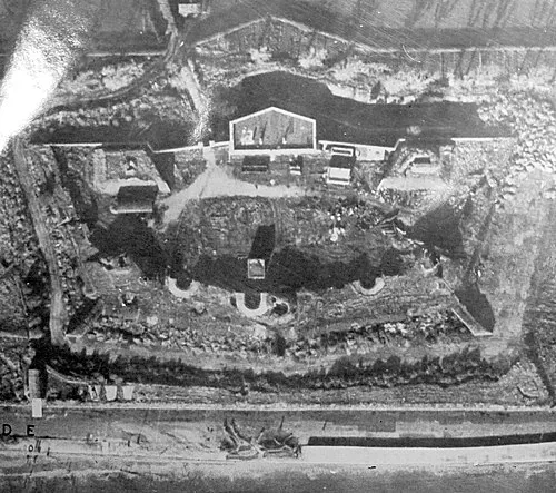 Lumps Fort Historic site, Portsmouth8.2 km S
-
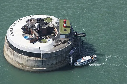 Spit Fort Historic site, Southsea9.6 km S
Sources & licences
Data last updated: · 2 independent sources