- Local time
- UTC+00:00
- Europe/London · UTC+00:00
- Airports
- SOU Southampton Airport27 km
- BOH Bournemouth Airport52 km
About Spit Fort
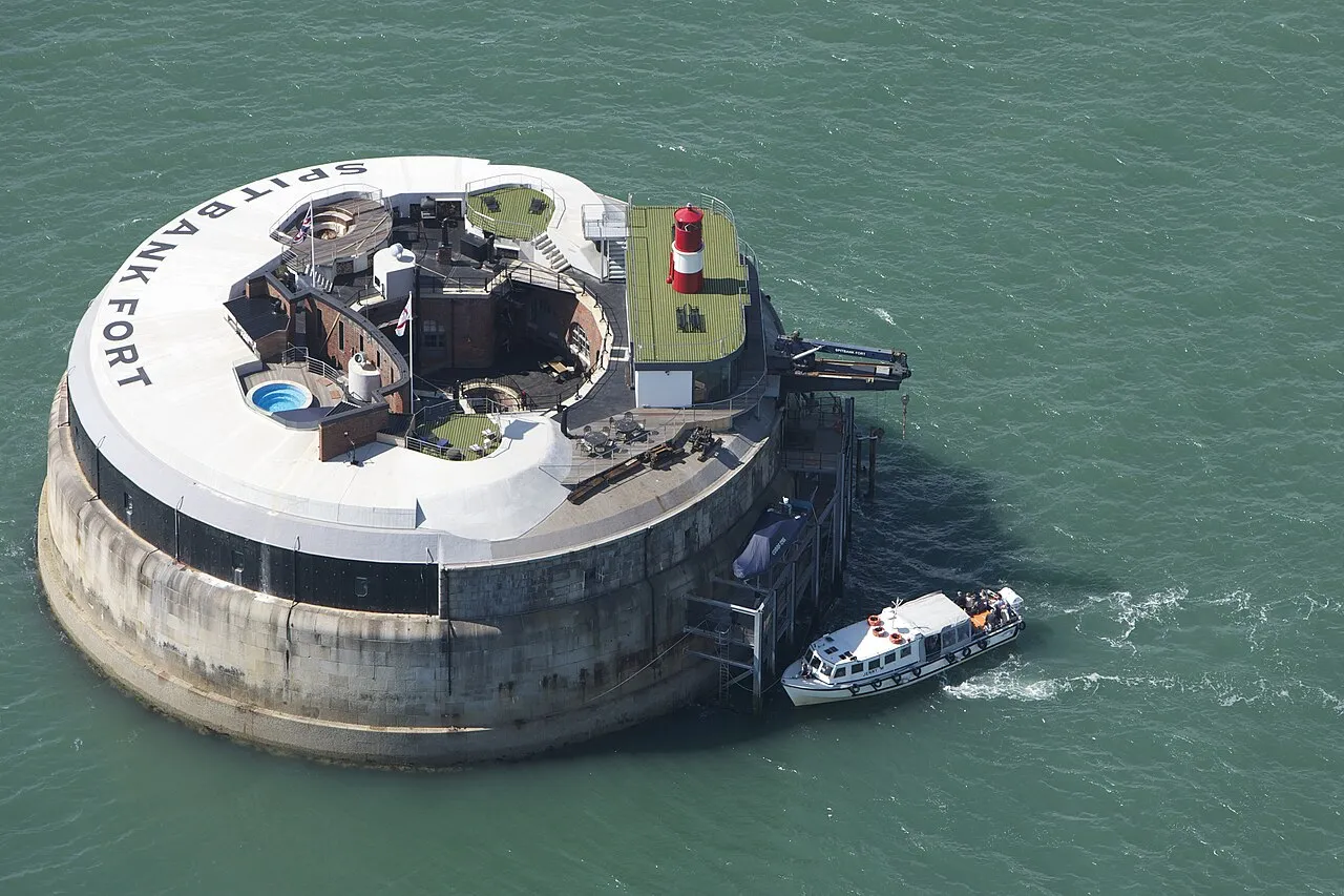
Spit Fort is a historic site. Location: Southsea, Portsmouth.
Spitbank Fort or Spitsand Fort or Spit Sand Fort or simply Spit Fort is a sea fort built as a result of the 1859 Royal Commission. The fort is one of four built as part of the Palmerston Forts constructions. Located in the Solent, near Portsmouth, England, and is now in private ownership following its sale after a period as a luxury hotel.
Source: Wikipedia · CC BY-SA 4.0
At a glance
- Built
- 1887
- Heritage designation
- scheduled monument
- Official website
- solentforts.com
Source: Wikidata
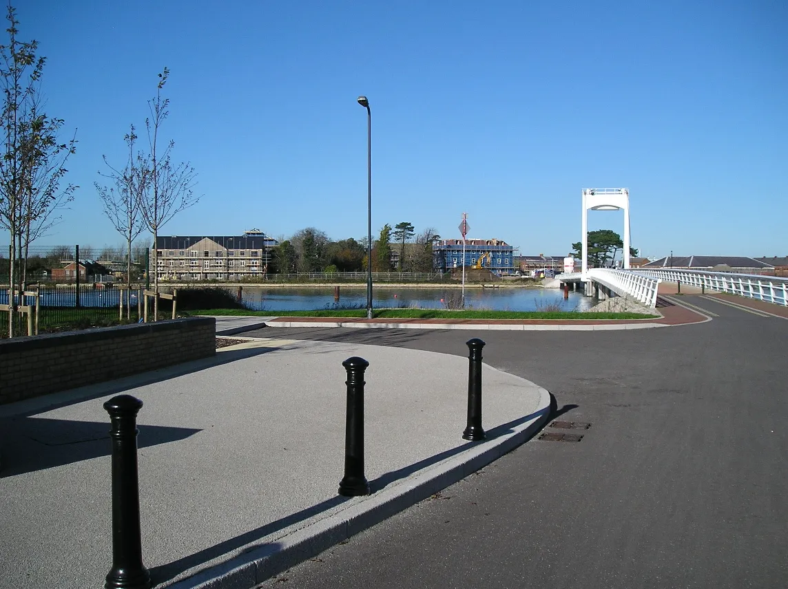
Photos of Spit Fort
-

Peter Trimming · CC BY-SA 2.0 -

Colin Smith · CC BY-SA 2.0 -

Philip Mallis from Melbourne · CC BY-SA 2.0 -

Philip Mallis from Melbourne · CC BY-SA 2.0 -

Peter Trimming · CC BY-SA 2.0


Climate of Spit Fort
Best months for sightseeingBest months for sightseeing: June–August.
This month · November
A cold month
Day 11° · Night 5° · Rain 93 mm
- Hottest month
- July (day 22°)
- Coldest month
- February (night 2°)
- Wettest month
- November (93 mm)
- Driest month
- July (43 mm)
Bars: average monthly low and high temperature. Below: precipitation. Monthly averages for 1970–2000 at about 18 km resolution, adjusted for elevation. Highlighted months are mild and relatively dry. Source: WorldClim 2.1 (CC BY 4.0).
Show values as a table
| Month | Jan | Feb | Mar | Apr | May | Jun | Jul | Aug | Sep | Oct | Nov | Dec |
|---|---|---|---|---|---|---|---|---|---|---|---|---|
| Average high (°C) | 8° | 8° | 10° | 13° | 16° | 19° | 22° | 21° | 19° | 15° | 11° | 9° |
| Average low (°C) | 3° | 2° | 4° | 5° | 8° | 11° | 13° | 13° | 11° | 8° | 5° | 4° |
| Precipitation (mm) | 92 | 60 | 67 | 50 | 46 | 53 | 43 | 52 | 71 | 87 | 93 | 91 |
How to get to Spit Fort
The nearest airport is Southampton Airport (SOU), 27 km to the northwest as the crow flies. For international flights: London Gatwick Airport (LGW) (77 km). The nearest large city is Portsmouth, 3 km to the north.
Airports
- Southampton Airport (SOU) Southampton 27 kmnorthwest
- Bournemouth Airport (BOH) Bournemouth 52 kmwest
- London Gatwick Airport (LGW) London 77 kmnortheast
Nearby large cities
- Portsmouth Population: 208.1K 3 kmnorth
- Southampton Population: 269.8K 26 kmnorthwest
- Worthing Population: 113.9K 51 kmeast
- Basingstoke Population: 107.6K 55 kmnorth
- Bournemouth Population: 163.6K 55 kmwest
Straight-line distances; road distances are longer. Airport data: OurAirports.
Day trips from Spit Fort
Within 100 km: 324 historic and cultural sites, 596 natural sites, 213 lakes, rivers and coasts.
0–25 km145 places
- Portsea Island Natural site 4 kmNE
- Isle of Wight Island 17 kmSW
- Calshot Beach Beach 16 kmW
- Bembridge Beach Beach 9 kmS
25–60 km274 places
- St Nicholas Church Shoreham Attraction 58 kmE
- The Marlipins Museum Museum 58 kmE
- Avon Beach Beach 45 kmW
- Climping Beach Beach 37 kmE
60–100 km714 places
- Brownsea Island Island 62 kmW
- Studland Beach Beach 61 kmW
- Man O'War Beach Beach 84 kmW
- Round Island Island 66 kmW
Straight-line distances.
Nearby attractions & nature
Everything nearby-
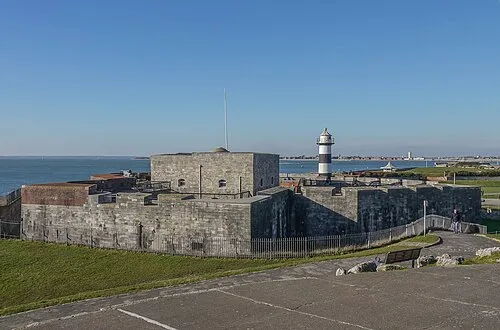 Southsea Castle Historic site, Southsea1.1 km NE
-
Spit Fort Lighthouse Landmark, Southsea<0.1 km N
-
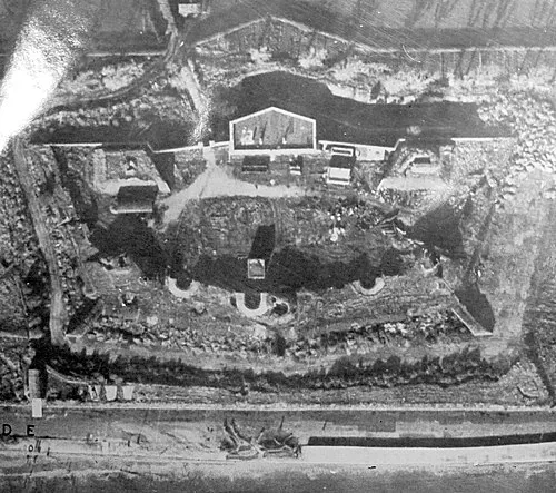 Lumps Fort Historic site, Portsmouth2.5 km NE
-
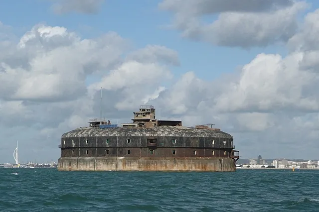 Horse Fort Historic site, Southsea3 km SE
-
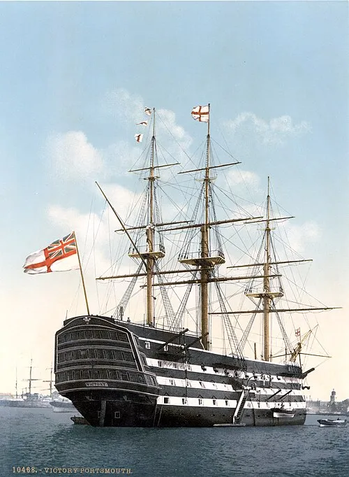 HMS Victory Museum, Portsmouth3.5 km N
-
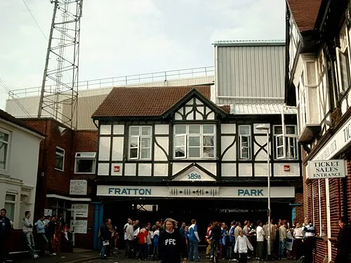 Fratton Park Landmark, Portsmouth3.8 km NE
-
Royal Garrison Church Attraction, Portsmouth2.1 km N
-
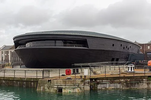 Mary Rose Museum Museum, Portsmouth3.6 km N
Nearest towns and villages
-
Southsea Neighbourhood, Southsea1.6 km N
-
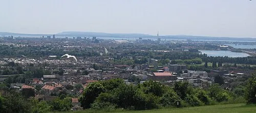 Portsmouth City, Portsmouth3.2 km N
-
 Gosport Town, Gosport District3.5 km NW
-
 Copnor Neighbourhood, Southsea5.7 km NE
Sources & licences
Data last updated: · 2 independent sources