- Population
- 42,210
- 42.2K
- Elevation
- 10 m
- above sea level
- Local time
- UTC+00:00
- Europe/London · UTC+00:00
- Airports
- SOU Southampton Airport17 km
- BOH Bournemouth Airport47 km
About Fareham
Fareham is a town. Location: Fareham District, Hampshire. Population: 42,210. Elevation: 10 m.
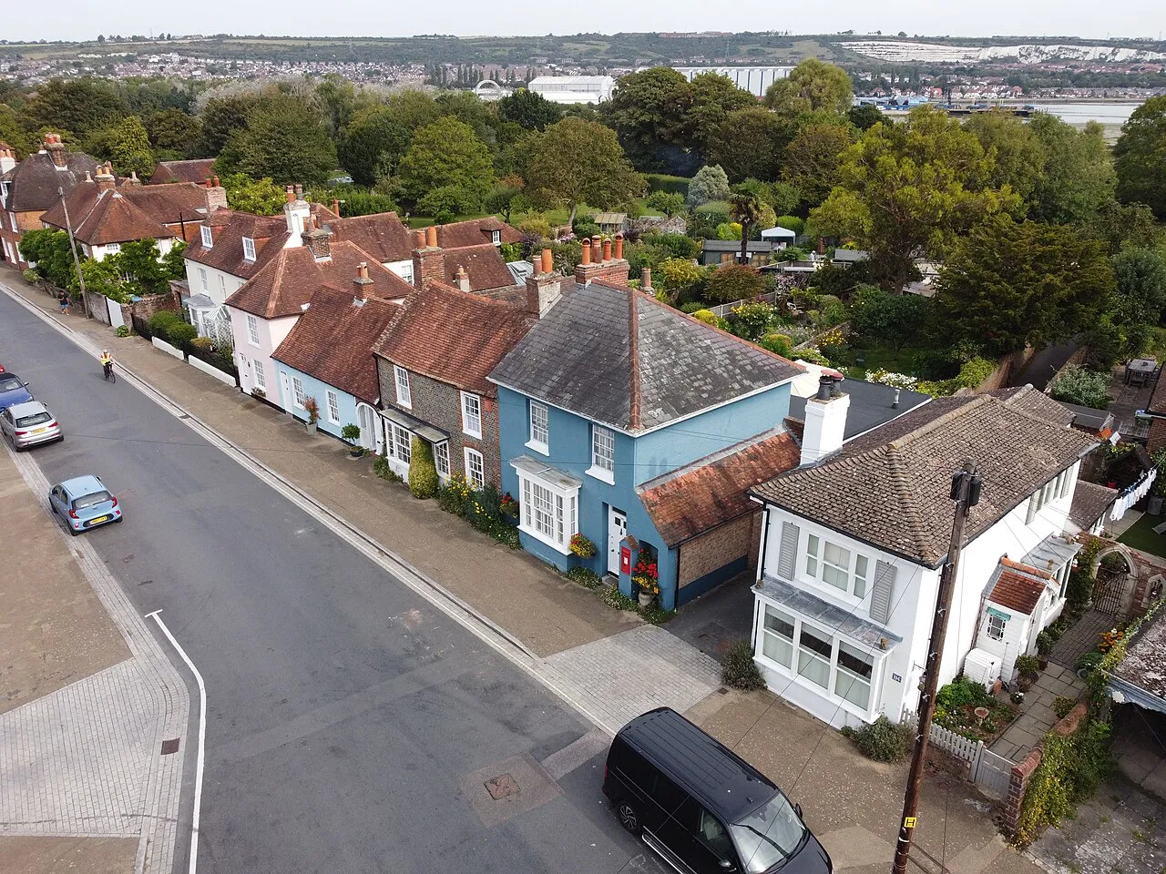
Fareham ( FAIR-əm) is a market town at the north-west tip of Portsmouth Harbour, between the cities of Portsmouth and Southampton in south east Hampshire, England. It gives its name to the Borough of Fareham. It was historically an important manufacturer of bricks, used to build the Royal Albert Hall, and grower of strawberries and other seasonal fruits. In 2011, it had a population of 42,210.
Source: Wikipedia · CC BY-SA 4.0
Photos of Fareham
-

GJPayne · CC BY-SA 4.0 -

Simon Burchell · CC BY-SA 4.0 -
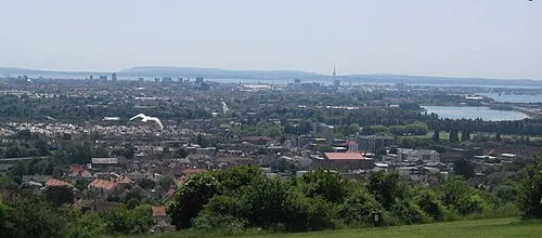
Ports Down en:User:AlanFord · Public domain -
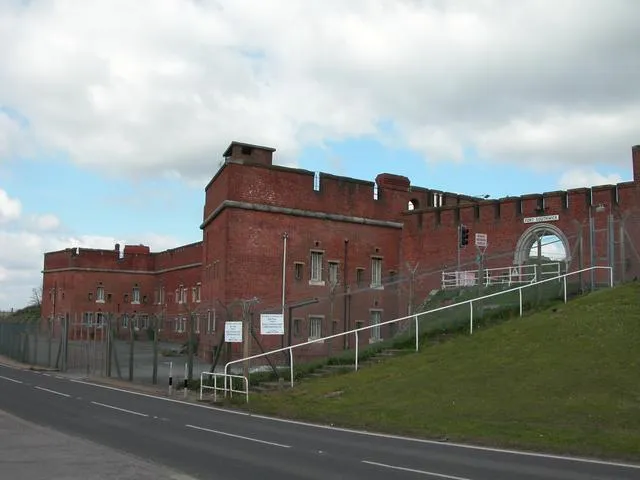
Fort Southwick Martyn Pattison · CC BY-SA 2.0 -
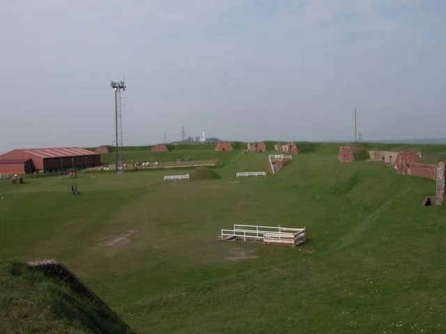
Fort Widley Martyn Pattison · CC BY-SA 2.0


Travel notes for Fareham
From Wikivoyage
Fareham is a town in Hampshire, approximately half-way between the cities of Portsmouth and Southampton, The town has been linked with brick making, notably, the production of the 'Fareham Reds', examples of the bricks in use on the Royal Albert Hall, in London and iron forging from the ironmaster, named Henry Cort.
Understand+
The pedestrianised area of West Street, in the town centre, is home to a permanent exhibition of the work of 12 blacksmith artists celebrating the achievements of Henry Cort, the 18th-century 'man of iron' who pioneered the iron refining process at Funtley near Fareham. The puddled wrought iron sculptures are themed on Fareham's market town history and the exhibition is the largest of its type in Britain.
Locks Heath is a suburb of Fareham on the seaside. It started off as a hotspot for growing and moving strawberries, due to its positioning. This industry hit its peak in the 1920s, before it started sliding down. Due to these strawberry farms, most houses are built in small housing areas, leading to a unique look not many towns have.
Local information:
Fareham Council website
Get in+
Fareham is well served by the major road and rail networks. The M27 motorway passes around the northern edge of Fareham, and is the main traffic artery into the area. It provides easy access to both Portsmouth and Southampton, and from there to London via the M3 and A3(M).
The A27 is a route that passes through the centre of Fareham, from west to east, with good connections from Southampton and Portsmouth. The A32 passes through Fareham at the Quay Street roundabout, it runs north to south, on its way from Gosport in the south, with the north passing through the picturesque Meon Valley to Alton.
Fareham railway station is on the West Coastway Line, with regular services from Portsmouth, Southampton, Cardiff and London.
Source: Wikivoyage · CC BY-SA 4.0 · abridged
Population of Fareham over time
| 2001 | 41,297 | |
|---|---|---|
| 2011 | 42,054 | |
| 2019 | 43,549 | |
| 2021 | 42,640 |
Censuses and official estimates; source: Wikidata.
Climate of Fareham
Best months for sightseeingBest months for sightseeing: June–August.
This month · November
A cold month
Day 11° · Night 5° · Rain 90 mm
- Hottest month
- July (day 22°)
- Coldest month
- February (night 2°)
- Wettest month
- November (90 mm)
- Driest month
- July (41 mm)
Bars: average monthly low and high temperature. Below: precipitation. Monthly averages for 1970–2000 at about 18 km resolution, adjusted for elevation. Highlighted months are mild and relatively dry. Source: WorldClim 2.1 (CC BY 4.0).
Show values as a table
| Month | Jan | Feb | Mar | Apr | May | Jun | Jul | Aug | Sep | Oct | Nov | Dec |
|---|---|---|---|---|---|---|---|---|---|---|---|---|
| Average high (°C) | 8° | 8° | 10° | 13° | 17° | 20° | 22° | 22° | 19° | 15° | 11° | 9° |
| Average low (°C) | 2° | 2° | 4° | 5° | 8° | 11° | 13° | 13° | 10° | 8° | 5° | 3° |
| Precipitation (mm) | 88 | 59 | 64 | 48 | 46 | 54 | 41 | 53 | 69 | 82 | 90 | 88 |
How to get to Fareham
The nearest airport is Southampton Airport (SOU), 17 km to the northwest as the crow flies. For international flights: London Gatwick Airport (LGW) (77 km). The nearest large city is Portsmouth, 9 km to the southeast.
Airports
- Southampton Airport (SOU) Southampton 17 kmnorthwest
- Bournemouth Airport (BOH) Bournemouth 47 kmwest
- London Gatwick Airport (LGW) London 77 kmnortheast
Nearby large cities
- Portsmouth Population: 208.1K 9 kmsoutheast
- Southampton Population: 269.8K 17 kmwest
- Basingstoke Population: 107.6K 46 kmnorth
- Bournemouth Population: 163.6K 51 kmwest
- Worthing Population: 113.9K 57 kmeast
Straight-line distances; road distances are longer. Airport data: OurAirports.
Day trips from Fareham
Within 100 km: 370 historic and cultural sites, 647 natural sites, 228 lakes, rivers and coasts.
0–25 km157 places
- Portsea Island Natural site 10 kmSE
- Isle of Wight Island 21 kmS
- Calshot Beach Beach 10 kmSW
- Bembridge Beach Beach 19 kmS
25–60 km315 places
- Brownsea Island Island 59 kmW
- Avon Beach Beach 41 kmW
- Studland Beach Beach 58 kmW
- Climping Beach Beach 43 kmE
60–100 km773 places
- St Nicholas Church Shoreham Attraction 63 kmE
- The Marlipins Museum Museum 64 kmE
- Man O'War Beach Beach 81 kmW
- Round Island Island 62 kmW
Straight-line distances.
Nearby attractions & nature
Everything nearby-
Funtley Hill Mountain, Fareham District2.8 km NW
-
Fareham Mediumwave Transmitter Landmark, Fareham District3.4 km W
-
Titchfield Abbey Historic site, Fareham District3.7 km W
-
Ports Down Mountain, Portsmouth4.8 km E
-
Fort Southwick Historic site, Southwick and Widley4.7 km E
-
Portchester Castle Historic site, Fareham District4.9 km E
-
Pewit Island Island, Portsmouth3.8 km SE
-
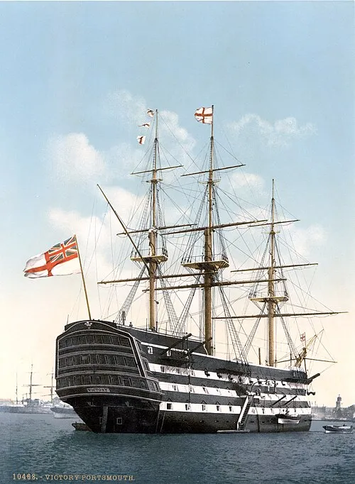 HMS Victory Museum, Portsmouth7.4 km SE
Sources & licences
Data last updated: · 2 independent sources