Fareham District
Located in Hampshire, England Coordinates: 50°51′13″ N 1°12′40″ W
- Population
- 115,423
- 115.4K
- Elevation
- 33 m
- above sea level
- Local time
- UTC+00:00
- Europe/London · UTC+00:00
- Places inside
- 39
- listed under Fareham District
About Fareham District
Fareham District is a municipality. Location: Hampshire, England. Population: 115,423. Elevation: 33 m.
In comparison
- No. 8 of 11 places in Hampshire by population
- Nearest larger town: Portsmouth, 10 km SE
- 30 sights and natural places within 10 km Fareham Mediumwave Transmitter, Titchfield Abbey
- Listed here: Village: 24, Neighbourhood: 7, Historic site: 2, Mountain: 2
Climate of Fareham District
Best months for sightseeing: June–August.
| Month | Jan | Feb | Mar | Apr | May | Jun | Jul | Aug | Sep | Oct | Nov | Dec |
|---|---|---|---|---|---|---|---|---|---|---|---|---|
| Average high (°C) | 8° | 8° | 10° | 13° | 17° | 19° | 22° | 22° | 19° | 15° | 11° | 9° |
| Average low (°C) | 2° | 2° | 3° | 4° | 8° | 10° | 12° | 12° | 10° | 8° | 5° | 3° |
| Precipitation (mm) | 88 | 59 | 64 | 48 | 46 | 54 | 41 | 53 | 69 | 82 | 90 | 88 |
Monthly averages for 1970–2000 at about 18 km resolution, adjusted for elevation. Highlighted months are mild and relatively dry. Source: WorldClim 2.1 (CC BY 4.0).
Airports nearest to Fareham District
- Southampton Airport (SOU) Southampton 15 km
- Bournemouth Airport (BOH) Bournemouth 45 km
- London Gatwick Airport (LGW) London 79 km
Straight-line distance; airports with scheduled flights only. Source: OurAirports (public domain).
Places in Fareham District
39 places-
Fareham Town42.2K
-
Portchester Village17.8K
-
Titchfield Town7.3K
-
Wallington Village500
-
Abshot Village
-
Beacon Hill Mountain
-
Burridge Village
-
Catisfield Neighbourhood
-
Crockerhill Village
-
Downend Neighbourhood
-
Fareham Mediumwave Transmitter Landmark
-
Fleetend Neighbourhood
-
Fleetland Village
-
Funtley Village
-
Funtley Hill Mountain
-
Heathfield Neighbourhood
-
Hill Head Village
-
Hill Park Neighbourhood
-
Hook Village
-
Hook Park Estate Village
-
Little Posbrook Village
-
Locks Heath Village
-
Lower Swanwick Village
-
Meon Village
-
Newtown Neighbourhood
-
North Fareham Village
-
Park Gate Village
-
Peel Common Village
-
Portchester Castle Historic site
-
River Hamble River
-
Sarisbury Village
-
Sarisbury Green Village
-
Segensworth Village
-
Stubbington Village
-
Titchfield Abbey Historic site
-
Titchfield Common Village
-
Titchfield Park Village
-
Warsash Village
-
West End Neighbourhood
Nearby attractions & nature
Everything nearby-
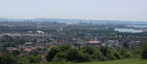 Ports Down Mountain, Portsmouth7.1 km E
-
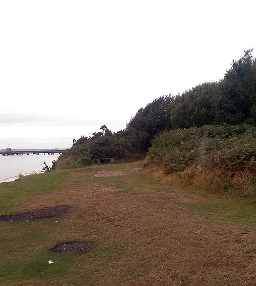 St Andrews Castle Historic site, Hamble-le-Rice7.7 km W
-
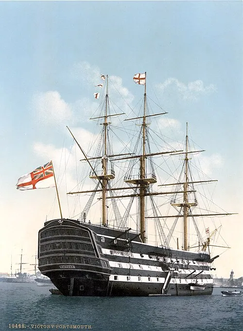 HMS Victory Museum, Portsmouth9.2 km SE
-
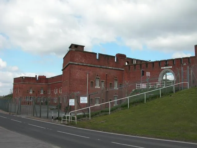 Fort Southwick Historic site, Southwick and Widley6.8 km E
-
River Meon River, England4.9 km SW
-
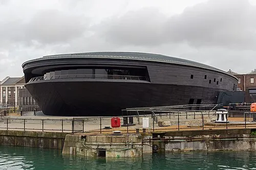 Mary Rose Museum Museum, Portsmouth9.2 km SE
-
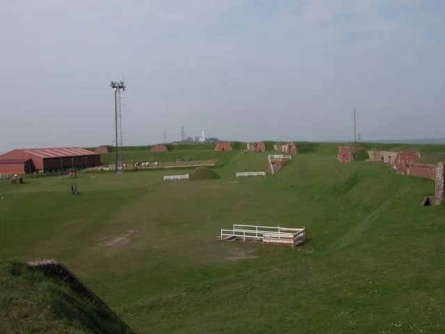 Fort Widley Historic site, Portsmouth10 km E
-
Pewit Island Island, Portsmouth5.8 km SE
Other cities and towns in Hampshire
-
Eastleigh District Municipality, Hampshire11 km NW
-
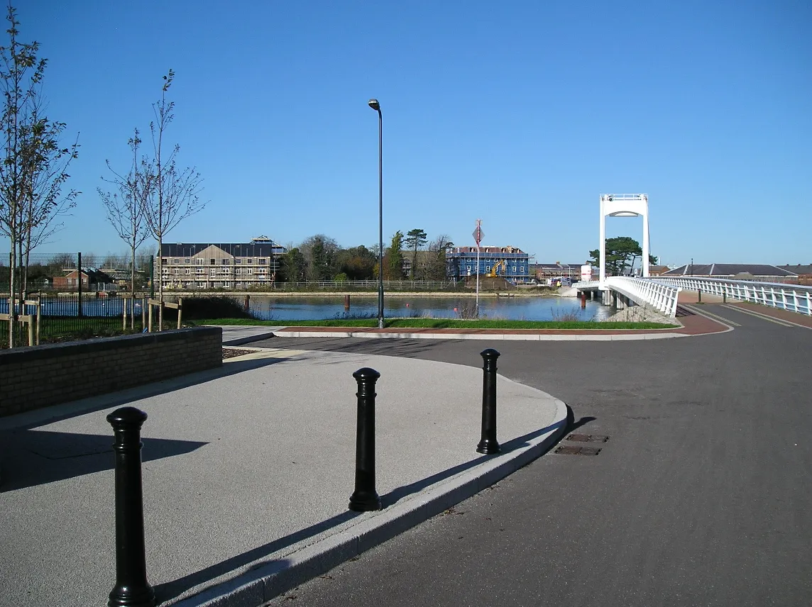 Gosport Town, Gosport District8.7 km SE
-
Havant District Municipality, Hampshire16 km E
-
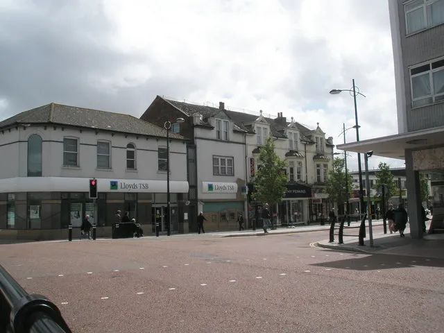 Waterlooville Town, Havant District13 km E
-
Winchester District Municipality, Hampshire19 km N
-
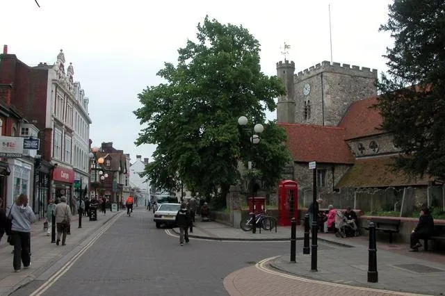 Havant Town, Havant District16 km E
Sources & licences
Data last updated: