Test Valley District
Located in Hampshire, England Coordinates: 51°08′00″ N 1°30′00″ W
- Population
- 122,044
- 122K
- Elevation
- 85 m
- above sea level
- Local time
- UTC+00:00
- Europe/London · UTC+00:00
- Places inside
- 60
- listed under Test Valley District
About Test Valley District
Test Valley District is a municipality. Location: Hampshire, England. Population: 122,044. Elevation: 85 m.
In comparison
- No. 5 of 11 places in Hampshire by population
- Nearest larger town: Basingstoke and Deane District, 24 km NE
- 13 sights and natural places within 10 km Cleave Hill, Swan Island
- Listed here: Village: 60
Airports nearest to Test Valley District
- Southampton Airport (SOU) Southampton 23 km
- Bournemouth Airport (BOH) Bournemouth 46 km
- London Heathrow Airport (LHR) London 82 km
Straight-line distance; airports with scheduled flights only. Source: OurAirports (public domain).
Places in Test Valley District
60 places-
Abbotts Ann Village
-
Ampfield Village
-
Amport Village
-
Andover Village
-
Appleshaw Village
-
Ashley Village
-
Awbridge Village
-
Barton Stacey Village
-
Bossington Village
-
Braishfield Village
-
Broughton Village
-
Buckholt Village
-
Bullington Village
-
Buttermere Village
-
Charlton Village
-
Chilbolton Village
-
Chilworth Village
-
East Dean Village
-
East Tytherley Village
-
Enham Alamein Village
-
Faccombe Village
-
Frenchmoor Village
-
Fyfield Village
-
Goodworth Clatford Village
-
Grateley Village
-
Houghton Village
-
Hurstbourne Tarrant Village
-
Kimpton Village
-
Kings Somborne Village
-
Leckford Village
-
Linkenholt Village
-
Little Somborne Village
-
Lockerley Village
-
Longparish Village
-
Longstock Village
-
Melchet Park and Plaitford Village
-
Michelmersh and Timsbury Village
-
Monxton Village
-
Mottisfont Village
-
Nether Wallop Village
-
North Baddesley Village
-
Nursling and Rownhams Village
-
Over Wallop Village
-
Penton Grafton Village
-
Penton Mewsey Village
-
Quarley Village
-
Romsey Village
-
Romsey Extra Village
-
Sherfield English Village
-
Shipton Bellinger Village
-
Smannell Village
-
Stockbridge Village
-
Tangley Village
-
Thruxton Village
-
Upper Clatford Village
-
Valley Park Village
-
Vernhams Dean Village
-
Wellow Village
-
West Tytherley Village
-
Wherwell Village
Nearby attractions & nature
Everything nearby-
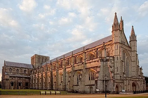 Winchester Cathedral Attraction, Winchester District15 km SE
-
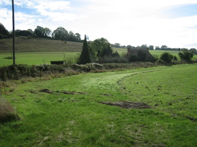 Merdon Castle Historic site, Hursley13 km SE
-
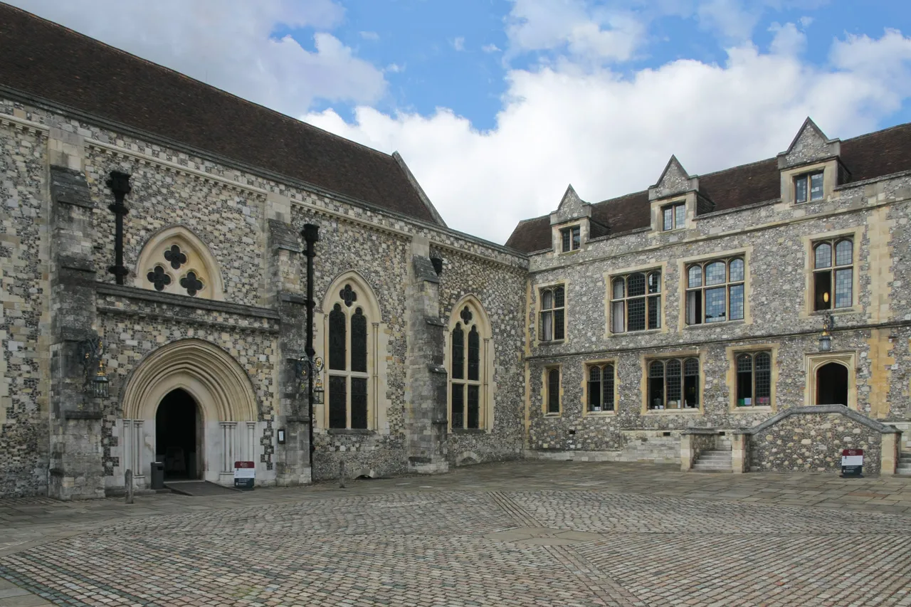 Winchester Castle Historic site, Winchester District15 km SE
-
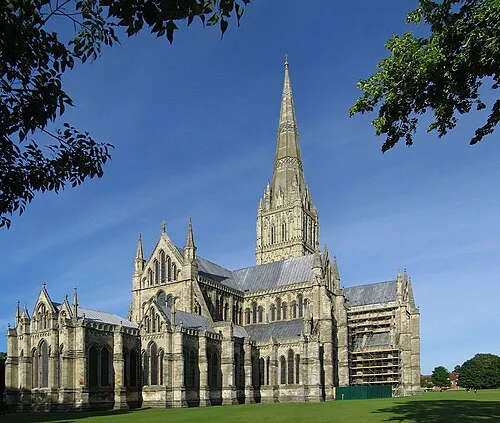 Salisbury Cathedral Attraction, Salisbury22 km W
-
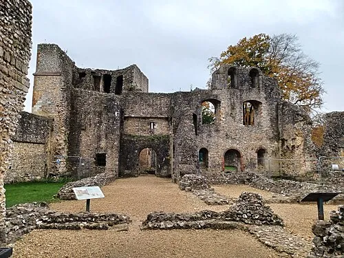 Wolvesey Castle Historic site, Winchester District16 km SE
-
Boscombe Down East Mountain, Allington12 km W
-
Farley Mount Mountain, Hursley9.7 km SE
-
Popple Light Hill Mountain, Winterslow9.7 km W
Other cities and towns in Hampshire
-
Winchester District Municipality, Hampshire22 km SE
-
Basingstoke and Deane District Municipality, Hampshire24 km NE
-
Andover Town, Andover8.7 km N
-
Eastleigh District Municipality, Hampshire26 km SE
-
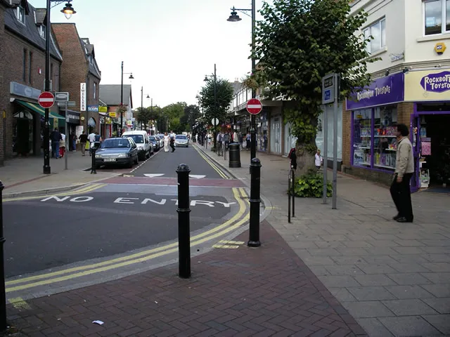 Eastleigh Town, Eastleigh District21 km SE
-
Winchester City, Winchester District15 km SE
Sources & licences
Data last updated: