Basingstoke
Located in Basingstoke and Deane District, Hampshire Coordinates: 51°15′45″ N 1°05′13″ W
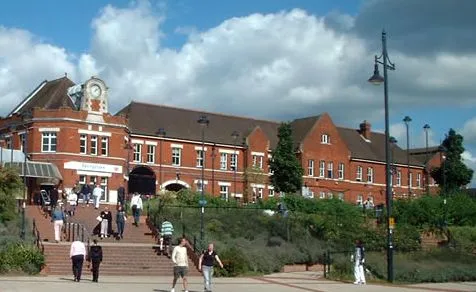
- Population
- 107,642
- 107.6K
- Elevation
- 96 m
- above sea level
- Local time
- UTC+00:00
- Europe/London · UTC+00:00
- Airports
- SOU Southampton Airport40 km
- LHR London Heathrow Airport49 km
About Basingstoke
Basingstoke is a city. Location: Basingstoke and Deane District, Hampshire. Population: 107,642. Elevation: 96 m.
Basingstoke ( BAY-zing-stohk) is a town in Hampshire, situated in south-central England across a valley at the source of the River Loddon on the western edge of the North Downs. It is the largest settlement in Hampshire without city status. It is located 30 miles (48 km) north-east of Southampton, 48 miles (77 km) south-west of London, 27 miles (43 km) west of Guildford, 22 miles (35 km) south of Reading and 20 miles (32 km) north-east of the county town and former capital Winchester.
Read more on Wikipedia Text: Wikipedia contributors · CC BY-SA 4.0 · shortened
At a glance
- Area
- 29.2 km²
Source: Wikidata
In comparison
- Nearest larger town: Basingstoke and Deane District, 9 km W
- 10 sights and natural places within 10 km Festival Place, Holy Ghost Ruins
Climate of Basingstoke
Best months for sightseeingBest months for sightseeing: June–August.
Bars: average monthly low and high temperature. Below: precipitation. Monthly averages for 1970–2000 at about 18 km resolution, adjusted for elevation. Highlighted months are mild and relatively dry. Source: WorldClim 2.1 (CC BY 4.0).
Show values as a table
| Month | Jan | Feb | Mar | Apr | May | Jun | Jul | Aug | Sep | Oct | Nov | Dec |
|---|---|---|---|---|---|---|---|---|---|---|---|---|
| Average high (°C) | 7° | 7° | 10° | 13° | 16° | 19° | 22° | 22° | 18° | 14° | 10° | 8° |
| Average low (°C) | 2° | 2° | 3° | 4° | 7° | 10° | 12° | 12° | 10° | 7° | 4° | 3° |
| Precipitation (mm) | 85 | 57 | 64 | 51 | 52 | 59 | 47 | 58 | 70 | 81 | 84 | 86 |
Airports nearest to Basingstoke
- Southampton Airport (SOU) Southampton 40 km
- London Heathrow Airport (LHR) London 49 km
- London Gatwick Airport (LGW) London 64 km
Straight-line distance; airports with scheduled flights only. Source: OurAirports (public domain).
Nearby attractions & nature
Everything nearby-
Festival Place Natural site, Hampshire0.4 km NE
-
Holy Ghost Ruins Historic site, Basingstoke and Deane District0.8 km N
-
Milestones Museum, Basingstoke and Deane District1.8 km W
-
Basing House Historic site, Old Basing and Lychpit2.7 km E
-
Basing Old Castle Historic site, Old Basing and Lychpit3.4 km NE
-
The Vyne Historic site, Sherborne St. John4.9 km N
-
Farleigh Hill Mountain, Farleigh Wallop5.2 km SW
-
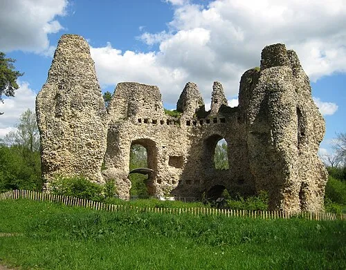 Odiham Castle Historic site, Odiham8.8 km E
Sources & licences
Data last updated: · 2 independent sources