Treago Castle
Located in St. Weonards, Herefordshire Coordinates: 51°54′41″ N 2°44′33″ W
- Local time
- UTC+00:00
- Europe/London · UTC+00:00
- Elevation
- 85 m
- above sea level
- Airports
- BRS Bristol Airport59 km
- CWL Cardiff International Airport71 km
About Treago Castle
Treago Castle is a historic site. Location: St. Weonards, Herefordshire.
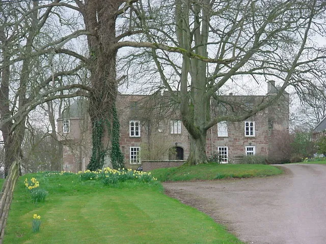
Treago Castle is a fortified manor house in the parish of St Weonards, Herefordshire, England (grid reference SO48922396). Built c. 1500, it was recorded as a Grade I listed building on 30 April 1986—based on its extant medieval architecture, quadrangle courtyard layout and defensive wall corner towers. The castle remains a private family residence. Digging on the site revealed solid bedrock.
Source: Wikipedia · CC BY-SA 4.0
At a glance
- Heritage designation
- Grade I listed building
- Official website
- treago.co.uk
Source: Wikidata
Photos of Treago Castle
-

Philip Pankhurst · CC BY-SA 2.0 -

Philip Pankhurst · CC BY-SA 2.0 -

Andrew Abbott · CC BY-SA 2.0 -
Orcop Castle Tony Powell · CC BY-SA 2.0 -
Skenfrith Castle Davidmholmes51 · CC BY-SA 4.0


Climate of Treago Castle
Best months for sightseeingBest months for sightseeing: June–August.
This month · November
A cold month
Day 10° · Night 4° · Rain 78 mm
- Hottest month
- July (day 21°)
- Coldest month
- February (night 2°)
- Wettest month
- January (88 mm)
- Driest month
- July (43 mm)
Bars: average monthly low and high temperature. Below: precipitation. Monthly averages for 1970–2000 at about 18 km resolution, adjusted for elevation. Highlighted months are mild and relatively dry. Source: WorldClim 2.1 (CC BY 4.0).
Show values as a table
| Month | Jan | Feb | Mar | Apr | May | Jun | Jul | Aug | Sep | Oct | Nov | Dec |
|---|---|---|---|---|---|---|---|---|---|---|---|---|
| Average high (°C) | 7° | 7° | 9° | 12° | 16° | 18° | 21° | 21° | 18° | 14° | 10° | 8° |
| Average low (°C) | 2° | 2° | 3° | 4° | 7° | 10° | 12° | 12° | 10° | 7° | 4° | 3° |
| Precipitation (mm) | 88 | 61 | 65 | 56 | 57 | 58 | 43 | 65 | 72 | 75 | 78 | 87 |
How to get to Treago Castle
The nearest airport is Bristol Airport (BRS), 59 km to the south as the crow flies. The nearest large city is Gloucester, 35 km to the east.
Airports
- Bristol Airport (BRS) Bristol 59 kmsouth
- Cardiff International Airport (CWL) Cardiff 71 kmsouthwest
- Birmingham Airport (BHX) Birmingham, West Midlands 91 kmnortheast
Nearby large cities
- Gloucester Population: 132.4K 35 kmeast
- Newport Population: 161.5K 40 kmsouthwest
- Cheltenham Population: 118.8K 46 kmeast
- Worcester Population: 101.7K 47 kmnortheast
- Bristol Population: 479K 52 kmsouth
Straight-line distances; road distances are longer. Airport data: OurAirports.
Day trips from Treago Castle
Within 100 km: 994 historic and cultural sites, 2,033 natural sites, 140 lakes, rivers and coasts.
0–25 km259 places
- Hobbs Mountain 21 kmE
- Sugar Loaf Mountain 22 kmW
- May Hill Mountain 21 kmE
- Ysgyryd Fawr Mountain 17 kmW
25–60 km1,030 places
- Alney Island Island 34 kmE
- Glover's Island Island 58 kmE
- Denny Island Island 43 kmS
- The Island Island 39 kmN
60–100 km1,878 places
- Kilve Beach Beach 87 kmSW
- Steep Holm Island 68 kmS
- Flat Holm Island 65 kmSW
- Barry Island Island 68 kmSW
Straight-line distances.
Nearby attractions & nature
Everything nearby-
St Weonards Tump Historic site, St. Weonards0.6 km NE
-
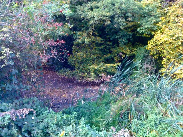
Orcop Castle Historic site, Orcop3.2 km NW
-
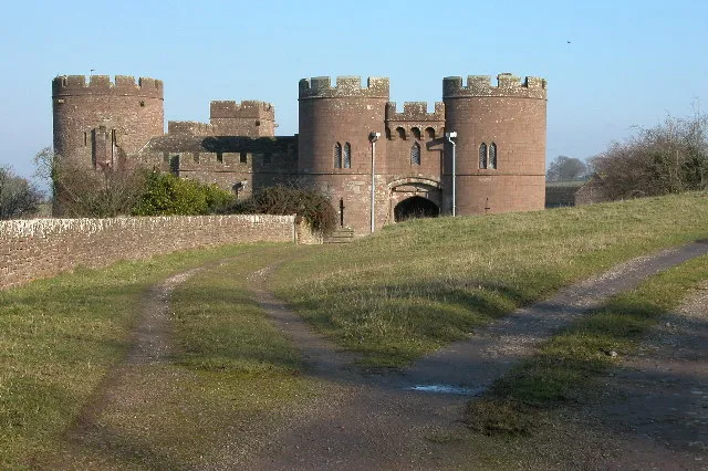 Pembridge Castle Historic site, Welsh Newton4.6 km S
-
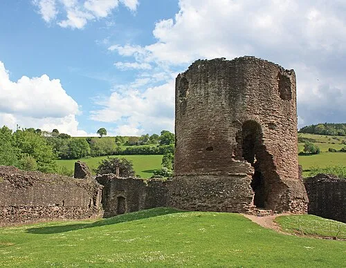
Skenfrith Castle Historic site, Llangattock-Vibon-Avel4.9 km SW
-
Chapel Tump Historic site, Hentland4.8 km E
-
Garway Hill Common Enclosure Historic site, Garway4.9 km W
-
Kentchurch Twyn y Corras Historic site, Kentchurch7.2 km W
-
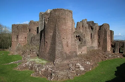 Goodrich Castle Historic site, Goodrich9.5 km SE
Nearest towns and villages
-
Sandyway Village, St. Weonards1.9 km N
-
Trolway Village, St. Weonards2.5 km W
-
Saint Weonards Village, Tretire with Michaelchurch1.9 km E
-
 Skenfrith Village, Llangattock-Vibon-Avel5 km SW
Sources & licences
Data last updated: · 2 independent sources