- Population
- 35,174
- 35.2K
- Elevation
- 46 m
- above sea level
- Local time
- UTC+00:00
- Europe/London · UTC+00:00
- Airports
- STN London Stansted Airport22 km
- LTN London Luton Airport28 km
About Hoddesdon
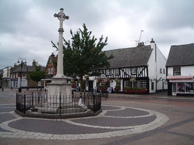
Hoddesdon is a town. Location: Broxbourne District, Hertfordshire. Population: 35,174. Elevation: 46 m.
Hoddesdon ( ) is a town in the Borough of Broxbourne, Hertfordshire, lying entirely within the London Metropolitan Area and Greater London Urban Area. The area is on the River Lea and the Lee Navigation along with the New River. Hoddesdon is the second most populated town in Broxbourne with a population of 42,253 according to the United Kingdom's 2011 census. It borders Ware to the north, Nazeing in Essex to the east, and Broxbourne to the south. The Prime Meridian passes just to the east of Hoddesdon.
Source: Wikipedia · CC BY-SA 4.0
Photos of Hoddesdon
-

Geni · CC BY-SA 4.0 -

Acabashi · CC BY-SA 4.0 -

Richard Kelly · CC BY-SA 4.0 -

Peter O'Connor aka anemoneprojectors · CC BY-SA 2.0 -

The wub · CC BY-SA 4.0


Climate of Hoddesdon
Best months for sightseeingBest months for sightseeing: June–August.
This month · November
A cold month
Day 10° · Night 4° · Rain 61 mm
- Hottest month
- July (day 22°)
- Coldest month
- February (night 1°)
- Wettest month
- October (62 mm)
- Driest month
- February (41 mm)
Bars: average monthly low and high temperature. Below: precipitation. Monthly averages for 1970–2000 at about 18 km resolution, adjusted for elevation. Highlighted months are mild and relatively dry. Source: WorldClim 2.1 (CC BY 4.0).
Show values as a table
| Month | Jan | Feb | Mar | Apr | May | Jun | Jul | Aug | Sep | Oct | Nov | Dec |
|---|---|---|---|---|---|---|---|---|---|---|---|---|
| Average high (°C) | 7° | 7° | 10° | 12° | 16° | 19° | 22° | 22° | 18° | 14° | 10° | 8° |
| Average low (°C) | 1° | 1° | 3° | 4° | 7° | 10° | 12° | 12° | 10° | 7° | 4° | 2° |
| Precipitation (mm) | 61 | 41 | 48 | 45 | 47 | 53 | 43 | 49 | 57 | 62 | 61 | 59 |
How to get to Hoddesdon
The nearest airport is London Stansted Airport (STN), 22 km to the northeast as the crow flies. The nearest large city is Enfield, 13 km to the southwest.
Airports
- London Stansted Airport (STN) London, Essex 22 kmnortheast
- London Luton Airport (LTN) Luton, Luton 28 kmnorthwest
- London City Airport (LCY) London 29 kmsouth
Nearby large cities
- Enfield Population: 156.9K 13 kmsouthwest
- Tottenham Population: 130K 18 kmsouth
- Walthamstow Population: 109.4K 19 kmsouth
- Archway Population: 215.7K 23 kmsouth
- Ilford Population: 168.2K 23 kmsouth
Straight-line distances; road distances are longer. Airport data: OurAirports.
Day trips from Hoddesdon
Within 100 km: 828 historic and cultural sites, 502 natural sites, 323 lakes, rivers and coasts.
0–25 km131 places
- White Hart Lane Landmark 18 kmS
- Rook Island Island 22 kmS
- Lincoln Island Island 21 kmS
- Latton Island Island 9 kmE
25–60 km812 places
- Spotlites @ Kings Theatre Attraction 57 kmSE
- Yantlet beach Beach 57 kmSE
- Osea Island Island 54 kmE
- Northey Island Island 51 kmE
60–100 km710 places
- Isle of Sheppey Island 71 kmSE
- West Mersea Beach Beach 65 kmE
- Central Beach Beach 76 kmSE
- The Lynch Island 68 kmSW
Straight-line distances.
Nearby attractions & nature
Everything nearby-
Broxbornebury Park Historic site, Broxbourne District2.1 km SW
-
River Stort River, England3.1 km E
-
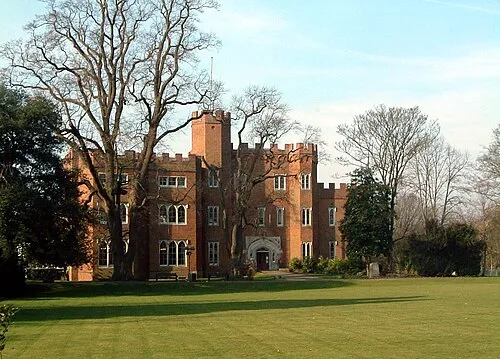 Hertford Castle Historic site, Hertford6.1 km NW
-
Barrowfield Historic site, Hertford5 km NW
-
Clayton Hill Mountain, Waltham Abbey4.8 km S
-
Cheshunt Lake Lake, Broxbourne District6.2 km S
-
Hunsdon House Landmark, Hunsdon6 km NE
-
River Beane River, England5.5 km NW
Other cities and towns in Broxbourne District
-
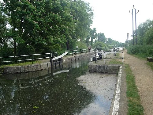 Cheshunt Town, Broxbourne District6.9 km S
-
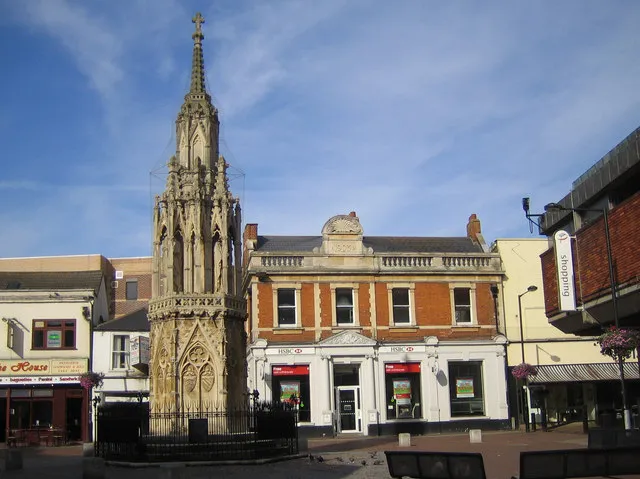 Waltham Cross Town, Broxbourne District8.6 km S
Sources & licences
Data last updated: · 2 independent sources