Kit's Coty
Located in Aylesford, Tonbridge and Malling District Coordinates: 51°19′24″ N 0°30′23″ E
- Elevation
- 139 m
- above sea level
- Local time
- UTC+00:00
- Europe/London · UTC+00:00
- Airports
- SEN London Southend Airport30 km
- LCY London City Airport37 km
About Kit's Coty
Kit's Coty is a village. Location: Aylesford, Tonbridge and Malling District. Elevation: 139 m. The best months to visit are June–August. The nearest airport is London Southend Airport (30 km). Nearby sights include Blue Bell Hill and Aylesford Church.
Photos of Kit's Coty
-
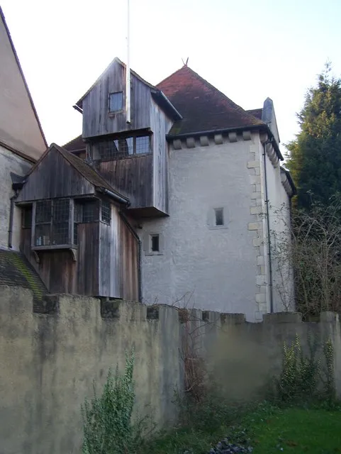
Starkey Castle David Anstiss · CC BY-SA 2.0 -
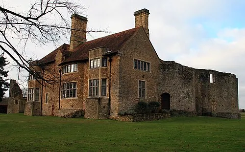
Leybourne Castle Glen · CC BY 2.0 -
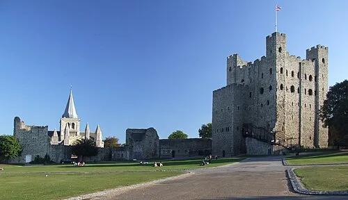
Rochester Castle Clem Rutter, Rochester, Kent · CC BY 3.0 -
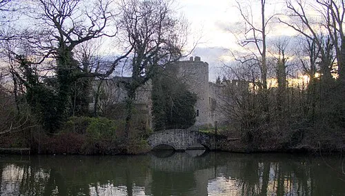
Allington Castle Prioryman · CC BY-SA 4.0 -
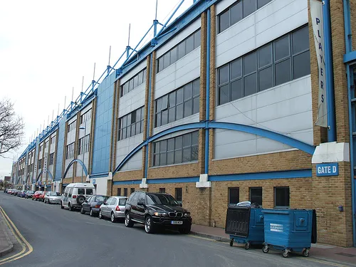
Priestfield Stadium The original uploader was ChrisTheDude at English Wikipedia . This file is licensed under the Creative Commons Attributi · CC BY-SA 2.0


Climate of Kit's Coty
Best months for sightseeingBest months for sightseeing: June–August.
This month · November
A cold month
Day 10° · Night 3° · Rain 73 mm
- Hottest month
- August (day 21°)
- Coldest month
- February (night 1°)
- Wettest month
- November (73 mm)
- Driest month
- February (44 mm)
Bars: average monthly low and high temperature. Below: precipitation. Monthly averages for 1970–2000 at about 18 km resolution, adjusted for elevation. Highlighted months are mild and relatively dry. Source: WorldClim 2.1 (CC BY 4.0).
Show values as a table
| Month | Jan | Feb | Mar | Apr | May | Jun | Jul | Aug | Sep | Oct | Nov | Dec |
|---|---|---|---|---|---|---|---|---|---|---|---|---|
| Average high (°C) | 6° | 7° | 9° | 12° | 16° | 19° | 21° | 21° | 18° | 14° | 10° | 7° |
| Average low (°C) | 1° | 1° | 2° | 3° | 7° | 9° | 12° | 12° | 10° | 7° | 3° | 2° |
| Precipitation (mm) | 72 | 44 | 52 | 45 | 45 | 53 | 45 | 51 | 63 | 70 | 73 | 71 |
How to get to Kit's Coty
The nearest airport is London Southend Airport (SEN), 30 km to the northeast as the crow flies. For international flights: London Gatwick Airport (LGW) (52 km). The nearest large city is Maidstone, 6 km to the south.
Airports
- London Southend Airport (SEN) Southend-on-Sea, Essex 30 kmnortheast
- London City Airport (LCY) London 37 kmnorthwest
- London Gatwick Airport (LGW) London 52 kmwest
Nearby large cities
- Maidstone Population: 107.6K 6 kmsouth
- Gillingham Population: 101.2K 8 kmnorth
- Basildon Population: 144.9K 27 kmnorth
- Southend-on-Sea Population: 295.3K 28 kmnortheast
- Bexley Population: 228K 28 kmnorthwest
Straight-line distances; road distances are longer. Airport data: OurAirports.
Day trips from Kit's Coty
Within 100 km: 659 historic and cultural sites, 484 natural sites, 269 lakes, rivers and coasts.
0–25 km113 places
- Isle of Sheppey Island 24 kmE
- Spotlites @ Kings Theatre Attraction 6 kmN
- Yantlet beach Beach 20 kmNE
- Isle of Grain Island 19 kmNE
25–60 km645 places
- White Hart Lane Landmark 51 kmNW
- Camber Sands Beach 48 kmSE
- West Mersea Beach Beach 58 kmNE
- Central Beach Beach 30 kmE
60–100 km654 places
- St Nicholas Church Shoreham Attraction 77 kmSW
- The Marlipins Museum Museum 77 kmSW
- Climping Beach Beach 96 kmSW
- The Lynch Island 99 kmW
Straight-line distances.
Nearby attractions & nature
Everything nearby-
Blue Bell Hill Mountain, Aylesford1 km N
-
Aylesford Church Historic site, Aylesford2.9 km SW
-
Boxley Abbey Historic site, Boxley2.9 km SE
-
Allington Castle Historic site, Maidstone3.4 km S
-
Wouldham Shoulder of Mutton Wood Historic site, Medway4.5 km NW
-
Spotlites @ Kings Theatre Attraction, Medway6.5 km N
Sources & licences
Data last updated: