Holme Valley
Located in Kirklees, England Coordinates: 53°34′01″ N 1°48′57″ W
- Elevation
- 262 m
- above sea level
- Local time
- UTC+00:00
- Europe/London · UTC+00:00
- Places inside
- 45
- listed under Holme Valley
About Holme Valley
Holme Valley is a municipality. Location: Kirklees, England. Elevation: 262 m.
In comparison
- Nearest larger town: Holmfirth, 2 km E
- 26 sights and natural places within 10 km Swinny Knoll, St James' Church, Meltham Mills
- Listed here: Village: 27, Neighbourhood: 12, Mountain: 4, Landmark: 1
Places in Holme Valley
45 places-
New Mill Town9.2K
-
Holmfirth Village2K
-
Brockholes Village1.9K
-
Jackson Bridge Village1.4K
-
Arrunden Village
-
Black Hill Mountain
-
Burnlee Neighbourhood
-
Cartworth Village
-
Cheese Gate Nab Mountain
-
Cliff Neighbourhood
-
Farnley Moor Mountain
-
Flush House Village
-
Fulstone Village
-
Gate Foot Village
-
Gully Neighbourhood
-
Haddingley Village
-
Hade Edge Village
-
Hepworth Village
-
Hill Neighbourhood
-
Hole Bottom Village
-
Holmbridge Village
-
Holme Village
-
Holme Moss Village
-
Holme Moss Transmitting Station Landmark
-
Honley Village
-
Liphill Bank Neighbourhood
-
Lydgate Village
-
Mag Dale Neighbourhood
-
Netherthong Village
-
New Gate Neighbourhood
-
Newtown Neighbourhood
-
New Town Neighbourhood
-
Oldfield Village
-
Scholes Village
-
Snowgate Head Village
-
Swinny Knoll Mountain
-
Thongsbridge Village
-
Totties Village
-
Town End Village
-
Under Bank Neighbourhood
-
Under Hill Neighbourhood
-
Upperthong Village
-
Victoria Neighbourhood
-
Washpit Village
-
Wooldale Village
Nearby attractions & nature
Everything nearby-
Oldfield Hill Mountain, Meltham3.8 km NW
-
St James' Church, Meltham Mills Attraction, Meltham3.4 km NW
-
West Nab Mountain, Meltham4.8 km W
-
Haw Cliff Mountain, Kirkburton4.8 km NE
-
Meltham Cop Mountain, Meltham5.1 km NW
-
Castle Hill Mountain, Kirklees6.8 km NE
-
Almondbury Castle Hill Historic site, Kirklees6.8 km NE
-
Dead Edge End Mountain, Dunford6.1 km S
Other cities and towns in Kirklees
-
 Huddersfield City, Kirkburton9.4 km N
-
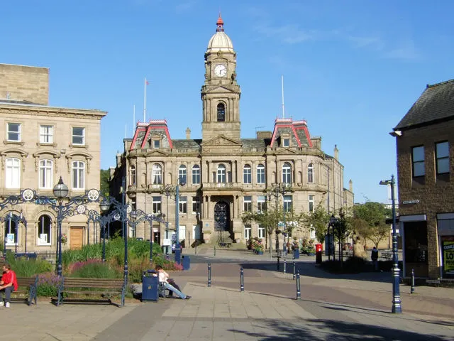 Dewsbury Town, Kirklees19 km NE
-
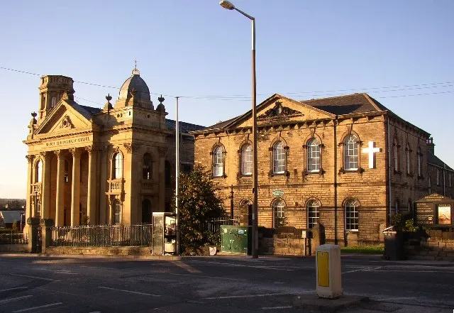 Heckmondwike Town, Kirklees18 km NE
-
Shepley Town, Kirkburton6.8 km E
-
Liversedge Town, Kirklees17 km NE
-
Batley Town, Kirklees19 km NE
Sources & licences
Data last updated: