Meltham
Located in Kirklees, England Coordinates: 53°35′23″ N 1°51′36″ W
- Elevation
- 220 m
- above sea level
- Local time
- UTC+00:00
- Europe/London · UTC+00:00
- Places inside
- 14
- listed under Meltham
About Meltham
Meltham is a municipality. Location: Kirklees, England. Elevation: 220 m.
In comparison
- Nearest larger town: Meltham, 1 km NE
- 35 sights and natural places within 10 km Oldfield Hill, St James' Church, Meltham Mills
- Listed here: Village: 6, Mountain: 3, Neighbourhood: 2, Town: 2
Places in Meltham
14 places-
Meltham Mills Town9K
-
Meltham Town7.8K
-
Golcar Village6.9K
-
Blackmoorfoot Village3.8K
-
Helme Village
-
Highfields Neighbourhood
-
Meltham Cop Mountain
-
Mill Stables Village
-
Oldfield Hill Mountain
-
South Crosland Village
-
St James' Church, Meltham Mills Attraction
-
Thick Hollins Neighbourhood
-
West Nab Mountain
-
Wilshaw Village
Nearby attractions & nature
Everything nearby-
Blackmoorfoot Reservoir Lake, England2.4 km N
-
Swinny Knoll Mountain, Holme Valley3.1 km E
-
Deer Hill Reservoir Lake, England2.7 km NW
-
Moorside Edge Transmitting Station, Mast A Landmark, Kirklees5.5 km NW
-
Pule Hill Mountain, Kirklees6.1 km W
-
Worts Hill Mountain, Kirklees6.2 km NW
-
Moorside Edge Transmitting Station, Mast B Landmark, Kirklees5.6 km NW
-
Wholestone Moor Mountain, Kirklees6.5 km N
Other cities and towns in Kirklees
-
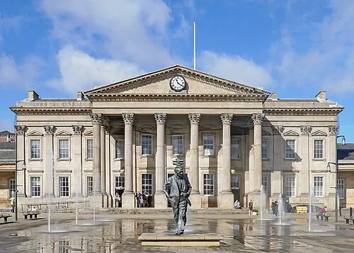 Huddersfield City, Kirkburton8.3 km NE
-
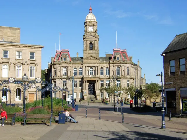 Dewsbury Town, Kirklees19 km NE
-
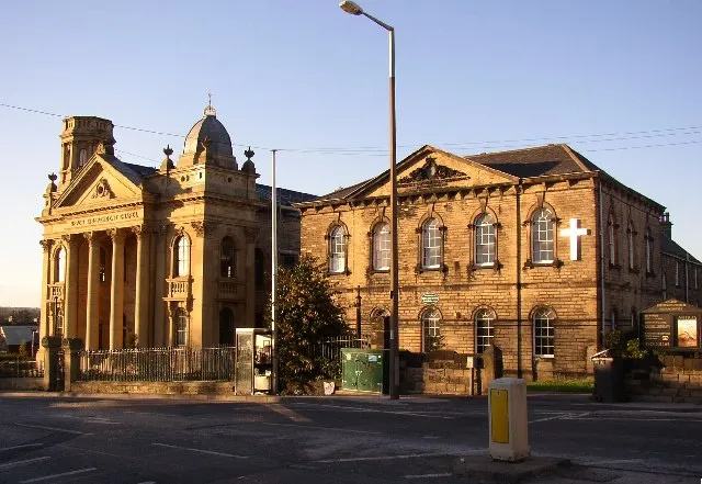 Heckmondwike Town, Kirklees18 km NE
-
New Mill Town, Holme Valley7.5 km E
-
Liversedge Town, Kirklees17 km NE
-
Batley Town, Kirklees20 km NE
Sources & licences
Data last updated: