Chorley District
Located in Lancashire, England Coordinates: 53°40′20″ N 2°39′59″ W
- Population
- 114,351
- 114.4K
- Elevation
- 60 m
- above sea level
- Local time
- UTC+00:00
- Europe/London · UTC+00:00
- Places inside
- 34
- listed under Chorley District
About Chorley District
Chorley District is a municipality. Location: Lancashire, England. Population: 114,351. Elevation: 60 m.
In comparison
- No. 3 of 12 places in Lancashire by population
- Nearest larger town: Preston, 10 km N
- 15 sights and natural places within 10 km Hough Hill, Healey Nab
- Listed here: Village: 24, Neighbourhood: 8, Mountain: 1, Town: 1
Places in Chorley District
34 places-
Chorley Town33.9K
-
Adlington Village
-
Anderton Village
-
Anglezarke Village
-
Astley Village Village
-
Bretherton Village
-
Brindle Village
-
Charnock Richard Village
-
Chorley Moor Neighbourhood
-
Clayton-le-Woods Village
-
Coppull Village
-
Cowling Neighbourhood
-
Croston Village
-
Cuerden Village
-
Eccleston Village
-
Euxton Village
-
Great Knowley Neighbourhood
-
Hartwood Neighbourhood
-
Healey Nab Mountain
-
Heapey Village
-
Heath Charnock Village
-
Heath Charnock Village
-
Heskin Village
-
Hoghton Village
-
Knowley Neighbourhood
-
Little Knowley Neighbourhood
-
Mawdesley Village
-
Red Bank Neighbourhood
-
Rivington Village
-
Ulnes Walton Village
-
Weld Bank Neighbourhood
-
Wheelton Village
-
Whittle-le-Woods Village
-
Withnell Village
Nearby attractions & nature
Everything nearby-
Anglezarke Reservoir Lake, England5.6 km E
-
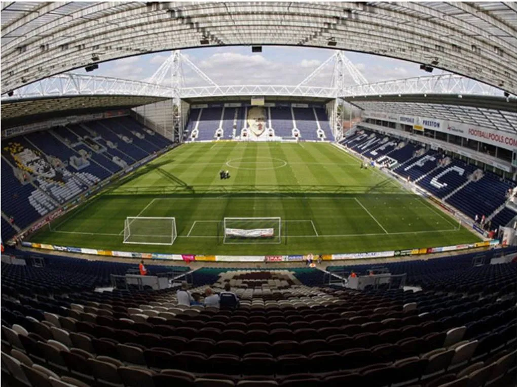 Deepdale Landmark, Preston District11 km N
-
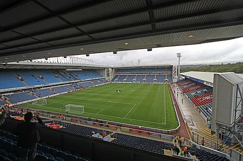 Ewood Park Landmark, Blackburn with Darwen13 km NE
-
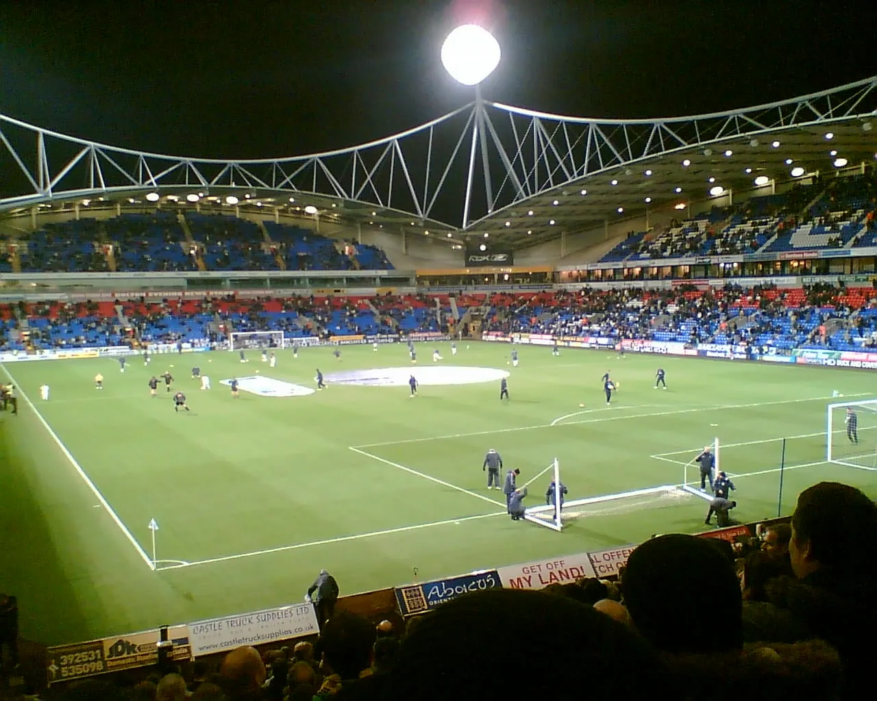 University of Bolton Stadium Landmark, Bolton13 km SE
-
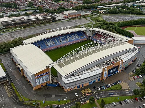 DW Stadium Landmark, Shevington14 km S
-
Harrock Hill Mountain, Wrightington8.4 km SW
-
Our Lady and St Patrick Roman Catholic Church Attraction, South Ribble8.2 km N
-
St Mary Magdalen Roman Catholic Church Attraction, Penwortham8.5 km N
Other cities and towns in Lancashire
-
Euxton Town, Euxton0.7 km W
-
Clayton-le-Woods Town, Clayton-le-Woods2.7 km N
-
West Lancashire District Municipality, Lancashire16 km SW
-
Preston District Municipality, Lancashire17 km N
-
Coppull Town, Coppull5.3 km S
-
 Skelmersdale Town, West Lancashire District15 km SW
Sources & licences
Data last updated: