Skelmersdale
Located in West Lancashire District, Lancashire Coordinates: 53°33′01″ N 2°46′25″ W
- Population
- 38,813
- 38.8K
- Elevation
- 71 m
- above sea level
- Local time
- UTC+00:00
- Europe/London · UTC+00:00
- Airports
- LPL Liverpool John Lennon Airport24 km
- MAN Manchester Airport40 km
About Skelmersdale
Skelmersdale is a town. Location: West Lancashire District, Lancashire. Population: 38,813. Elevation: 71 m.
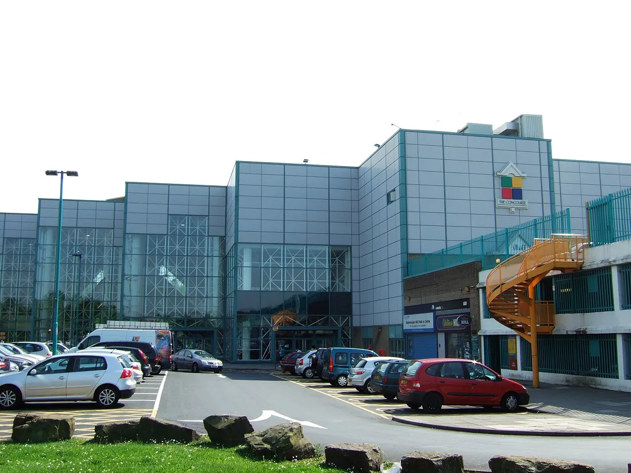
Skelmersdale is a town in the West Lancashire district of Lancashire, England. It sits on the River Tawd, 6 miles (10 km) west of Wigan, 13 miles (21 km) north-east of Liverpool and 15 miles (24 km) south-west of Preston. In 2006, it had a population of 38,813. The town is known locally as Skem . While the first record of the town is in the Domesday Book of 1086, much of the town, including the current town centre, was developed as a second wave new town in the 1960s.
Source: Wikipedia · CC BY-SA 4.0
Photos of Skelmersdale
-

Kevin Waterhouse · CC BY-SA 2.0 -

Rept0n1x · CC BY-SA 3.0 -

Rept0n1x · CC BY-SA 3.0 -
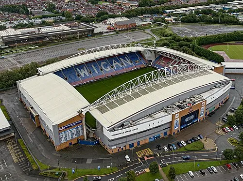
DW Stadium Arne Müseler · CC BY-SA 3.0 de


Travel notes for Skelmersdale
From Wikivoyage
Skelmersdale is a market town in West Lancashire with 35,000 people as of 2021.
Understand+
Skelmersdale means Skjaldmarr's valley, and in the Domesday Book was recorded as Skalmeresedel. Skem is the shortened/slang name for Skelmersdale, and locals will use that commonly.
In 1961 Skelmersdale was designated a new town, designed to house overspill population from the north Liverpool conurbation. The River Tawd runs through Skelmersdale. It is unsafe to drink from the river.
Get in+
By plane:
The nearest airports are Liverpool John Lennon (LPL IATA), Leeds/Bradford Airport (LBA IATA) and Manchester (MAN IATA). Overall, Manchester has better flight connections.
By rail:
A nearby train station is Ormskirk, where you can then transfer.
By road:
The M58 and A577 lead into Skelmersdale.
By bus:
There are bus stops around. Buses in the North West typically make stops in Skelmersdale.
Skelmersdale Bus Station is in Concourse Shopping Centre, but there are other minor stations littered around.
Source: Wikivoyage · CC BY-SA 4.0 · abridged
Climate of Skelmersdale
Best months for sightseeingBest months for sightseeing: June–September.
This month · November
A wet month
Day 9° · Night 4° · Rain 107 mm
- Hottest month
- July (day 19°)
- Coldest month
- February (night 1°)
- Wettest month
- October (107 mm)
- Driest month
- May (57 mm)
Bars: average monthly low and high temperature. Below: precipitation. Monthly averages for 1970–2000 at about 18 km resolution, adjusted for elevation. Highlighted months are mild and relatively dry. Source: WorldClim 2.1 (CC BY 4.0).
Show values as a table
| Month | Jan | Feb | Mar | Apr | May | Jun | Jul | Aug | Sep | Oct | Nov | Dec |
|---|---|---|---|---|---|---|---|---|---|---|---|---|
| Average high (°C) | 7° | 7° | 9° | 11° | 15° | 17° | 19° | 19° | 17° | 13° | 9° | 7° |
| Average low (°C) | 1° | 1° | 3° | 4° | 7° | 10° | 12° | 12° | 10° | 7° | 4° | 2° |
| Precipitation (mm) | 90 | 59 | 75 | 60 | 57 | 68 | 68 | 85 | 90 | 107 | 107 | 101 |
Other places to visit in this season: June July August September
How to get to Skelmersdale
The nearest airport is Liverpool John Lennon Airport (LPL), 24 km to the south as the crow flies. The nearest large city is Wigan, 9 km to the east.
Airports
- Liverpool John Lennon Airport (LPL) Liverpool 24 kmsouth
- Manchester Airport (MAN) Manchester, Greater Manchester 40 kmsoutheast
- Leeds Bradford Airport (LBA) Leeds, West Yorkshire 81 kmnortheast
Nearby large cities
- Wigan Population: 175.4K 9 kmeast
- St Helens Population: 183.2K 11 kmsouth
- Liverpool Population: 496.8K 21 kmsouthwest
- Warrington Population: 172.3K 22 kmsoutheast
- Bolton Population: 141.3K 23 kmeast
Straight-line distances; road distances are longer. Airport data: OurAirports.
Day trips from Skelmersdale
Within 100 km: 633 historic and cultural sites, 1,742 natural sites, 251 lakes, rivers and coasts.
0–25 km107 places
- Formby Beach Beach 22 kmW
- Ainsdale Beach Beach 20 kmW
- The Island Island 21 kmNE
- Goose Island Island 3 kmNW
25–60 km546 places
- Thurstaston Beach Beach 34 kmSW
- St Anne's Beach Beach 28 kmNW
- Hilbre Island Island 36 kmSW
- Bird Island Island 55 kmNE
60–100 km1,973 places
- British Isles Island 95 kmNW
- Great Britain Island 71 kmNE
- High Moor Mountain 78 kmN
- Roanhead Beach Beach 75 kmNW
Straight-line distances.
Nearby attractions & nature
Everything nearby-
Ashurst's Beacon Mountain, Dalton2.1 km NE
-
Goose Island Island, Lathom3.5 km NW
-
DW Stadium Landmark, Shevington7.9 km E
-
Halton Castle Historic site, Lathom5.1 km NW
-
Billinge Hill Mountain, Billinge Chapel End6 km SE
-
Harrock Hill Mountain, Wrightington7 km N
-
Crank Hill Mountain, Rainford7.1 km S
-
Wigan Athletic FC Landmark, Wigan7.9 km E
Other cities and towns in West Lancashire District
-
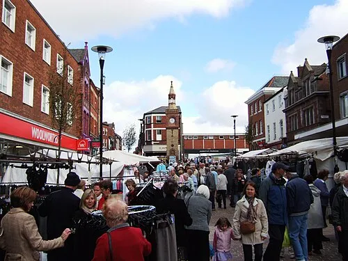 Ormskirk Town, West Lancashire District7.4 km W
-
Appley Bridge Town, Wrightington4.6 km NE
-
Burscough Town, Burscough6.8 km NW
-
Tarleton Town, Tarleton15 km N
Sources & licences
Data last updated: · 2 independent sources