Greenhalgh Castle
Located in Barnacre-with-Bonds, Wyre District Coordinates: 53°53′59″ N 2°45′42″ W
- Local time
- UTC+00:00
- Europe/London · UTC+00:00
- Elevation
- 35 m
- above sea level
- Airports
- LPL Liverpool John Lennon Airport63 km
- MAN Manchester Airport69 km
About Greenhalgh Castle
Greenhalgh Castle is a historic site. Location: Barnacre-with-Bonds, Wyre District.
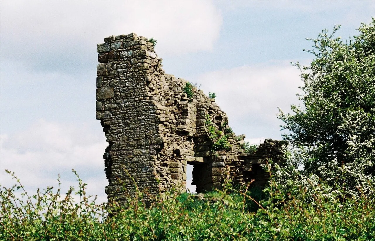
Greenhalgh Castle is a castle, now ruined, near the town of Garstang in Lancashire, England. Thomas Stanley, 1st Earl of Derby, had the castle built in 1490 to provide defence for his estates around Garstang. He was also allowed to enclose a park and have in it 'free warren and chase'. The land on which the castle was built is said to be a gift to Stanley from his stepson Henry Tudor for his assistance in defeating Richard III at the Battle of Bosworth.
Source: Wikipedia · CC BY-SA 4.0
At a glance
- Built
- 1490
Source: Wikidata
Photos of Greenhalgh Castle
-

Dr Greg · CC BY-SA 3.0 -
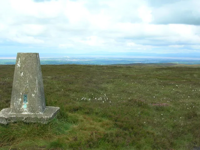
Hazelhurst Fell John Darch · CC BY-SA 2.0


Climate of Greenhalgh Castle
Best months for sightseeingBest months for sightseeing: June–August.
This month · November
A wet month
Day 9° · Night 4° · Rain 141 mm
- Hottest month
- July (day 19°)
- Coldest month
- February (night 1°)
- Wettest month
- November (141 mm)
- Driest month
- May (70 mm)
Bars: average monthly low and high temperature. Below: precipitation. Monthly averages for 1970–2000 at about 18 km resolution, adjusted for elevation. Highlighted months are mild and relatively dry. Source: WorldClim 2.1 (CC BY 4.0).
Show values as a table
| Month | Jan | Feb | Mar | Apr | May | Jun | Jul | Aug | Sep | Oct | Nov | Dec |
|---|---|---|---|---|---|---|---|---|---|---|---|---|
| Average high (°C) | 7° | 7° | 9° | 11° | 15° | 17° | 19° | 19° | 17° | 13° | 9° | 7° |
| Average low (°C) | 2° | 1° | 3° | 4° | 7° | 10° | 12° | 12° | 10° | 7° | 4° | 2° |
| Precipitation (mm) | 126 | 79 | 102 | 73 | 70 | 81 | 86 | 107 | 118 | 140 | 141 | 137 |
How to get to Greenhalgh Castle
The nearest airport is Liverpool John Lennon Airport (LPL), 63 km to the south as the crow flies. The nearest large city is Preston, 16 km to the south.
Airports
- Liverpool John Lennon Airport (LPL) Liverpool 63 kmsouth
- Manchester Airport (MAN) Manchester, Greater Manchester 69 kmsoutheast
- Leeds Bradford Airport (LBA) Leeds, West Yorkshire 73 kmeast
Nearby large cities
- Preston Population: 313.3K 16 kmsouth
- Blackpool Population: 145K 21 kmsouthwest
- Blackburn Population: 146.5K 25 kmsoutheast
- Burnley Population: 149.4K 36 kmeast
- Wigan Population: 175.4K 41 kmsouth
Straight-line distances; road distances are longer. Airport data: OurAirports.
Day trips from Greenhalgh Castle
Within 100 km: 650 historic and cultural sites, 1,859 natural sites, 256 lakes, rivers and coasts.
0–25 km178 places
- St Anne's Beach Beach 25 kmSW
- Longridge Fell Mountain 17 kmE
- Fair Snape Fell Mountain 10 kmE
- Parlick Mountain 10 kmE
25–60 km841 places
- Great Britain Island 51 kmE
- High Moor Mountain 43 kmNW
- Formby Beach Beach 43 kmSW
- Ainsdale Beach Beach 38 kmSW
60–100 km1,746 places
- British Isles Island 82 kmW
- Thurstaston Beach Beach 67 kmS
- St. Bees Beach Seafront Beach 86 kmNW
- The Island Island 81 kmNE
Straight-line distances.
Nearby attractions & nature
Everything nearby-
SS Mary and Michael Roman Catholic Church Attraction, Barnacre-with-Bonds0.7 km W
-
Sullom Hill Mountain, Barnacre-with-Bonds2.7 km E
-
SS Mary and James Roman Catholic Church Attraction, Nether Wyresdale3.7 km N
-
Calder River River, England1.9 km S
-
St Thomas, Apostle Roman Catholic Church Attraction, Claughton3.9 km SE
-
Nicky Nook Mountain, Nether Wyresdale3.9 km NE
-
Burns Quarry Wood Natural site, Wyre District2.9 km NE
-
Barnacre Moor Mountain, Barnacre-with-Bonds4.1 km NE
Nearest towns and villages
-
Garstang Town, Garstang0.8 km W
-
Catterall Village, Catterall2.2 km S
-
Bruna Hill Village, Barnacre-with-Bonds1.3 km S
-
Bowgreave Village, Barnacre-with-Bonds1.4 km S
Sources & licences
Data last updated: · 2 independent sources