Harrisend Fell
Located in Nether Wyresdale, Wyre District Coordinates: 53°56′52″ N 2°42′16″ W
- Elevation
- 293 m
- above sea level
- Local time
- UTC+00:00
- Europe/London · UTC+00:00
- Airports
- LPL Liverpool John Lennon Airport69 km
- LBA Leeds Bradford Airport69 km
About Harrisend Fell
Harrisend Fell is a mountain. Location: Nether Wyresdale, Wyre District. Elevation: 293 m. The best months to visit are June–August. The nearest airport is Liverpool John Lennon Airport (69 km). Nearby sights include Stake House Fell and Holme Wood Hill.
Photos of Harrisend Fell
-
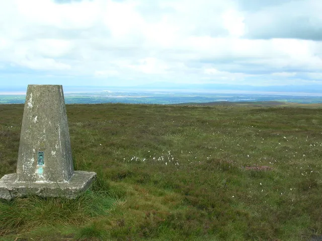
Hazelhurst Fell John Darch · CC BY-SA 2.0 -
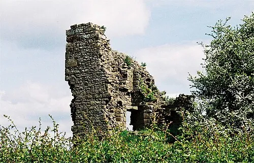
Greenhalgh Castle Dr Greg · CC BY-SA 3.0


Climate of Harrisend Fell
Best months for sightseeingBest months for sightseeing: June–August.
This month · November
A wet month
Day 8° · Night 2° · Rain 141 mm
- Hottest month
- July (day 17°)
- Coldest month
- February (night 0°)
- Wettest month
- November (141 mm)
- Driest month
- May (70 mm)
Bars: average monthly low and high temperature. Below: precipitation. Monthly averages for 1970–2000 at about 18 km resolution, adjusted for elevation. Highlighted months are mild and relatively dry. Source: WorldClim 2.1 (CC BY 4.0).
Show values as a table
| Month | Jan | Feb | Mar | Apr | May | Jun | Jul | Aug | Sep | Oct | Nov | Dec |
|---|---|---|---|---|---|---|---|---|---|---|---|---|
| Average high (°C) | 5° | 5° | 7° | 10° | 13° | 16° | 17° | 17° | 15° | 12° | 8° | 5° |
| Average low (°C) | 0° | 0° | 1° | 2° | 5° | 8° | 10° | 10° | 8° | 5° | 2° | 1° |
| Precipitation (mm) | 126 | 79 | 102 | 73 | 70 | 81 | 86 | 107 | 118 | 140 | 141 | 137 |
How to get to Harrisend Fell
The nearest airport is Liverpool John Lennon Airport (LPL), 69 km to the south as the crow flies. The nearest large city is Preston, 21 km to the south.
Airports
- Liverpool John Lennon Airport (LPL) Liverpool 69 kmsouth
- Leeds Bradford Airport (LBA) Leeds, West Yorkshire 69 kmeast
- Manchester Airport (MAN) Manchester, Greater Manchester 72 kmsoutheast
Nearby large cities
- Preston Population: 313.3K 21 kmsouth
- Blackburn Population: 146.5K 26 kmsoutheast
- Blackpool Population: 145K 27 kmsouthwest
- Burnley Population: 149.4K 35 kmsoutheast
- Bolton Population: 141.3K 44 kmsoutheast
Straight-line distances; road distances are longer. Airport data: OurAirports.
Day trips from Harrisend Fell
Within 100 km: 666 historic and cultural sites, 1,813 natural sites, 262 lakes, rivers and coasts.
0–25 km187 places
- Bird Island Island 20 kmE
- Longridge Fell Mountain 15 kmSE
- Fair Snape Fell Mountain 7 kmSE
- Parlick Mountain 8 kmSE
25–60 km934 places
- Great Britain Island 47 kmE
- High Moor Mountain 41 kmNW
- Formby Beach Beach 50 kmSW
- Ainsdale Beach Beach 45 kmSW
60–100 km1,620 places
- British Isles Island 85 kmW
- Thurstaston Beach Beach 74 kmSW
- St. Bees Beach Seafront Beach 84 kmNW
- The Island Island 76 kmNE
Straight-line distances.
Nearest towns and villages
-
Street Village, Nether Wyresdale2.4 km NW
-
Bay Horse Village, Ellel5.2 km NW
-
Forton Village, Forton5.1 km W
-
 Shireshead Village, Forton3.8 km W
-
Garstang Town, Garstang7 km SW
-
Oakenclough Village, Barnacre-with-Bonds3.1 km S
Nearby attractions & nature
Everything nearby-
Stake House Fell Mountain, Bleasdale2 km E
-
Holme Wood Hill Mountain, Nether Wyresdale1.7 km SW
-
Nicky Nook Mountain, Nether Wyresdale2.7 km SW
-
Hazelhurst Fell Mountain, Bleasdale3.4 km SE
-
Barnacre Moor Mountain, Barnacre-with-Bonds2.8 km S
-
Burns Quarry Wood Natural site, Wyre District3.6 km SW
-
Hawthornthwaite Fell Top Mountain, Over Wyresdale4.3 km E
-
Swine Hill Mountain, Ellel5 km NW
Sources & licences
Data last updated: · 2 independent sources