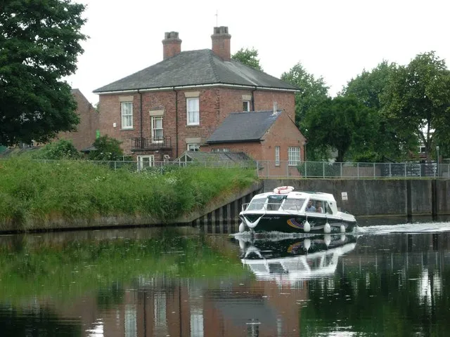
- Population
- 30,556
- 30.6K
- Elevation
- 11 m
- above sea level
- Local time
- UTC+00:00
- Europe/London · UTC+00:00
- Airports
- EMA East Midlands Airport79 km
- HUY Humberside Airport89 km
About Spalding
Spalding is a town. Location: South Holland, Lincolnshire. Population: 30,556. Elevation: 11 m.
Spalding ( ) is a market town on the River Welland in the South Holland district of Lincolnshire, England. The town had a population of 30,556 at the 2021 census. Spalding is the administrative centre of the South Holland District, which lies north-east of the city of Peterborough. The Spalding Flower Parade was held annually from 1959 to 2013, and has been held again each year since 2022.
Source: Wikipedia · CC BY-SA 4.0
Photos of Spalding
-

Bob Harvey · CC BY-SA 2.0 -

Bob Harvey · CC BY-SA 2.0 -

Bob Harvey · CC BY-SA 2.0


Travel notes for Spalding
From Wikivoyage
Spalding is a market town on the River Welland in the South Holland district of Lincolnshire. Spalding has been long famous as a centre of the flower bulb industry. In 2017, it was home to 34,000 people.
Get in+
Trains run every hour or two from Peterborough (20 min non-stop) and continue to Sleaford, Lincoln, Gainsborough and Doncaster.
1 Spalding railway station is central in town. It has a staffed ticket office, machines and toilets. There's step-free access to Platform 1 for Peterborough but not for Sleaford.
Source: Wikivoyage · CC BY-SA 4.0 · abridged
Climate of Spalding
Best months for sightseeingBest months for sightseeing: June–September.
This month · November
A cold month
Day 10° · Night 4° · Rain 53 mm
- Hottest month
- July (day 21°)
- Coldest month
- February (night 1°)
- Wettest month
- August (56 mm)
- Driest month
- February (37 mm)
Bars: average monthly low and high temperature. Below: precipitation. Monthly averages for 1970–2000 at about 18 km resolution, adjusted for elevation. Highlighted months are mild and relatively dry. Source: WorldClim 2.1 (CC BY 4.0).
Show values as a table
| Month | Jan | Feb | Mar | Apr | May | Jun | Jul | Aug | Sep | Oct | Nov | Dec |
|---|---|---|---|---|---|---|---|---|---|---|---|---|
| Average high (°C) | 7° | 7° | 10° | 12° | 16° | 19° | 21° | 21° | 18° | 14° | 10° | 7° |
| Average low (°C) | 1° | 1° | 2° | 4° | 7° | 10° | 12° | 12° | 10° | 7° | 4° | 2° |
| Precipitation (mm) | 53 | 37 | 47 | 46 | 49 | 51 | 45 | 56 | 50 | 48 | 53 | 50 |
Other places to visit in this season: June July August September
How to get to Spalding
The nearest airport is East Midlands Airport (EMA), 79 km to the west as the crow flies. The nearest large city is Peterborough, 25 km to the south.
Airports
- East Midlands Airport (EMA) Nottingham, Leicestershire 79 kmwest
- Humberside Airport (HUY) Grimsby, Lincolnshire 89 kmnorth
- Norwich Airport (NWI) Norwich, Norfolk 98 kmeast
Nearby large cities
- Peterborough Population: 163.4K 25 kmsouth
- Lincoln Population: 103.8K 55 kmnorthwest
- Cambridge Population: 145.7K 68 kmsouth
- Leicester Population: 368.6K 68 kmwest
- Nottingham Population: 323.6K 70 kmwest
Straight-line distances; road distances are longer. Airport data: OurAirports.
Day trips from Spalding
Within 100 km: 492 historic and cultural sites, 248 natural sites, 107 lakes, rivers and coasts.
0–25 km34 places
- Park Island Island 17 kmSW
- Pinchbeck Marsh Mountain 7 kmNE
- River Witham River 22 kmNE
- River Welland River 11 kmNE
25–60 km201 places
- Snettisham Beach Beach 41 kmE
- Newark Island Island 56 kmNW
- Inner Tidal Bank Island 30 kmE
- The Island Island 52 kmS
60–100 km612 places
- Weybourne Beach Beach 89 kmE
- Sheringham Beach Beach 93 kmE
- Sunk Island Island 96 kmN
- Scolt Head Island Island 61 kmE
Straight-line distances.
Nearby attractions & nature
Everything nearby-
River Glen River, England5.7 km NE
-
Pinchbeck Marsh Mountain, Pinchbeck6.7 km NE
-
Moulton Historic site, Moulton6.6 km E
-
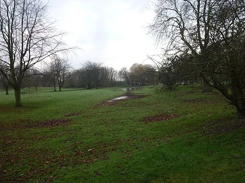 Bourne Castle Historic site, Bourne16 km W
-
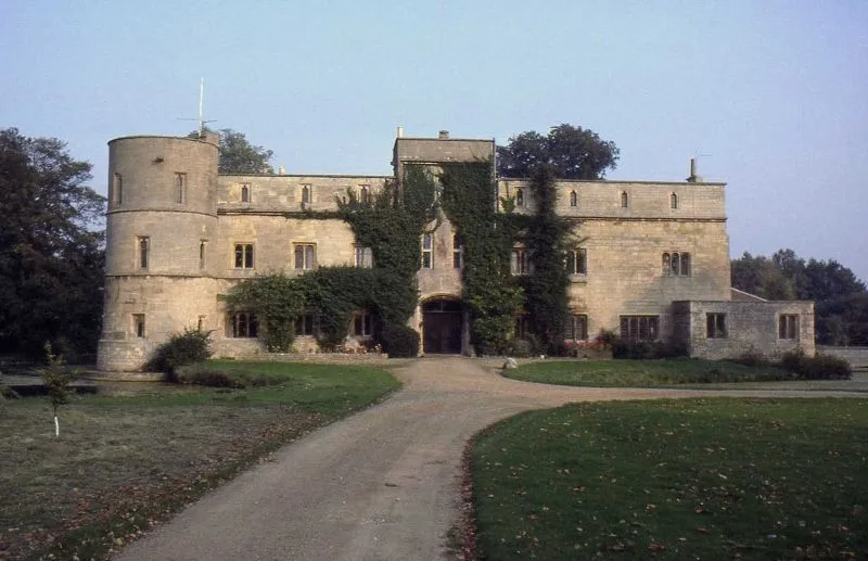 Woodcroft Castle Historic site, Etton21 km SW
-
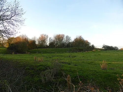 Folkingham Castle Historic site, Folkingham20 km NW
-
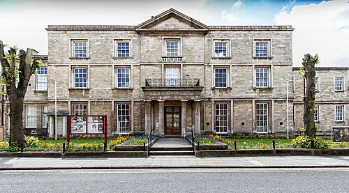 Peterborough Museum and Art Gallery Museum, Peterborough25 km S
-
Maxey Castle Historic site, Maxey18 km SW
Sources & licences
Data last updated: · 2 independent sources