- Elevation
- 59 m
- above sea level
- Local time
- UTC+00:00
- Europe/London · UTC+00:00
- Places inside
- 6
- listed under Bunwell
- Airports
- NWI Norwich Airport23 km
- STN London Stansted Airport91 km
About Bunwell
Bunwell is a village. Location: South Norfolk District, Norfolk. Elevation: 59 m. The best months to visit are June–September. The nearest airport is Norwich Airport (23 km). Nearby sights include Highfield Hill and Tacolneston Transmitting Station.
Climate of Bunwell
Best months for sightseeingBest months for sightseeing: June–September.
This month · November
A cold month
Day 10° · Night 4° · Rain 64 mm
- Hottest month
- August (day 21°)
- Coldest month
- February (night 1°)
- Wettest month
- November (64 mm)
- Driest month
- February (39 mm)
Bars: average monthly low and high temperature. Below: precipitation. Monthly averages for 1970–2000 at about 18 km resolution, adjusted for elevation. Highlighted months are mild and relatively dry. Source: WorldClim 2.1 (CC BY 4.0).
Show values as a table
| Month | Jan | Feb | Mar | Apr | May | Jun | Jul | Aug | Sep | Oct | Nov | Dec |
|---|---|---|---|---|---|---|---|---|---|---|---|---|
| Average high (°C) | 7° | 7° | 10° | 12° | 16° | 19° | 21° | 21° | 18° | 14° | 10° | 7° |
| Average low (°C) | 1° | 1° | 2° | 4° | 7° | 9° | 12° | 12° | 10° | 7° | 4° | 2° |
| Precipitation (mm) | 54 | 39 | 45 | 43 | 42 | 53 | 49 | 54 | 55 | 59 | 64 | 57 |
Other places to visit in this season: June July August September
How to get to Bunwell
The nearest airport is Norwich Airport (NWI), 23 km to the northeast as the crow flies. For international flights: London Stansted Airport (STN) (91 km). The nearest large city is Norwich, 19 km to the northeast.
Airports
- Norwich Airport (NWI) Norwich, Norfolk 23 kmnortheast
- London Stansted Airport (STN) London, Essex 91 kmsouthwest
- London Southend Airport (SEN) Southend-on-Sea, Essex 107 kmsouth
Nearby large cities
- Norwich Population: 143.1K 19 kmnortheast
- Ipswich Population: 178.8K 48 kmsouth
- Colchester Population: 130.2K 69 kmsouth
- Cambridge Population: 145.7K 76 kmsouthwest
- Peterborough Population: 163.4K 94 kmwest
Straight-line distances; road distances are longer. Airport data: OurAirports.
Day trips from Bunwell
Within 100 km: 249 historic and cultural sites, 80 natural sites, 135 lakes, rivers and coasts.
0–25 km53 places
- Dog Island Island 23 kmSW
- The Islands Island 24 kmE
- Long Island Island 23 kmSW
- Saham Mere Lake 24 kmNW
25–60 km201 places
- Weybourne Beach Beach 51 kmN
- Sheringham Beach Beach 51 kmN
- Hemsby Beach Beach 45 kmNE
- Aldeburgh's Beach Beach 49 kmSE
60–100 km210 places
- Snettisham Beach Beach 62 kmNW
- West Mersea Beach Beach 81 kmS
- Osea Island Island 90 kmS
- Northey Island Island 91 kmS
Straight-line distances.
Places in Bunwell
6 placesBar: population relative to the most populous place in this list.
Cities & villages5
- Bunwell Hill · Village
- Cordwell · Village
- Great Green · Neighbourhood
- Little Green · Neighbourhood
- Low Common · Village
Nearby attractions & nature
Everything nearby-
Highfield Hill Mountain, Carleton Rode2.3 km W
-
Tacolneston Transmitting Station Landmark, Tacolneston3 km N
-
New Buckenham Castle Historic site, Old Buckenham4.7 km SW
-
Old Buckenham Castle Historic site, Old Buckenham5.3 km W
-
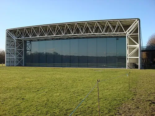 Sainsbury Centre for Visual Arts Museum, Norwich District16 km NE
-
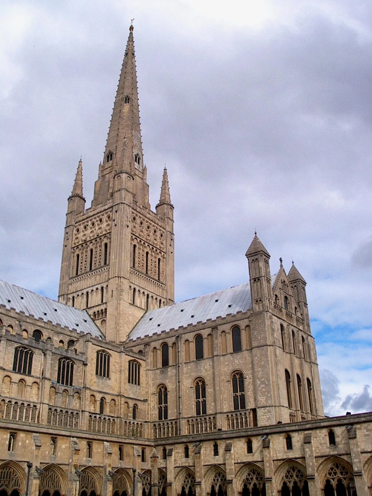 Norwich Cathedral Attraction, Norwich District19 km NE
Sources & licences
Data last updated: