- Population
- 6,025
- 6K
- Elevation
- 8 m
- above sea level
- Local time
- UTC+00:00
- Europe/London · UTC+00:00
- Airports
- NCL Newcastle International Airport34 km
- MME Teesside International Airport92 km
About Amble
Amble is a town. Location: Amble By the Sea, Northumberland. Population: 6,025. Elevation: 8 m.
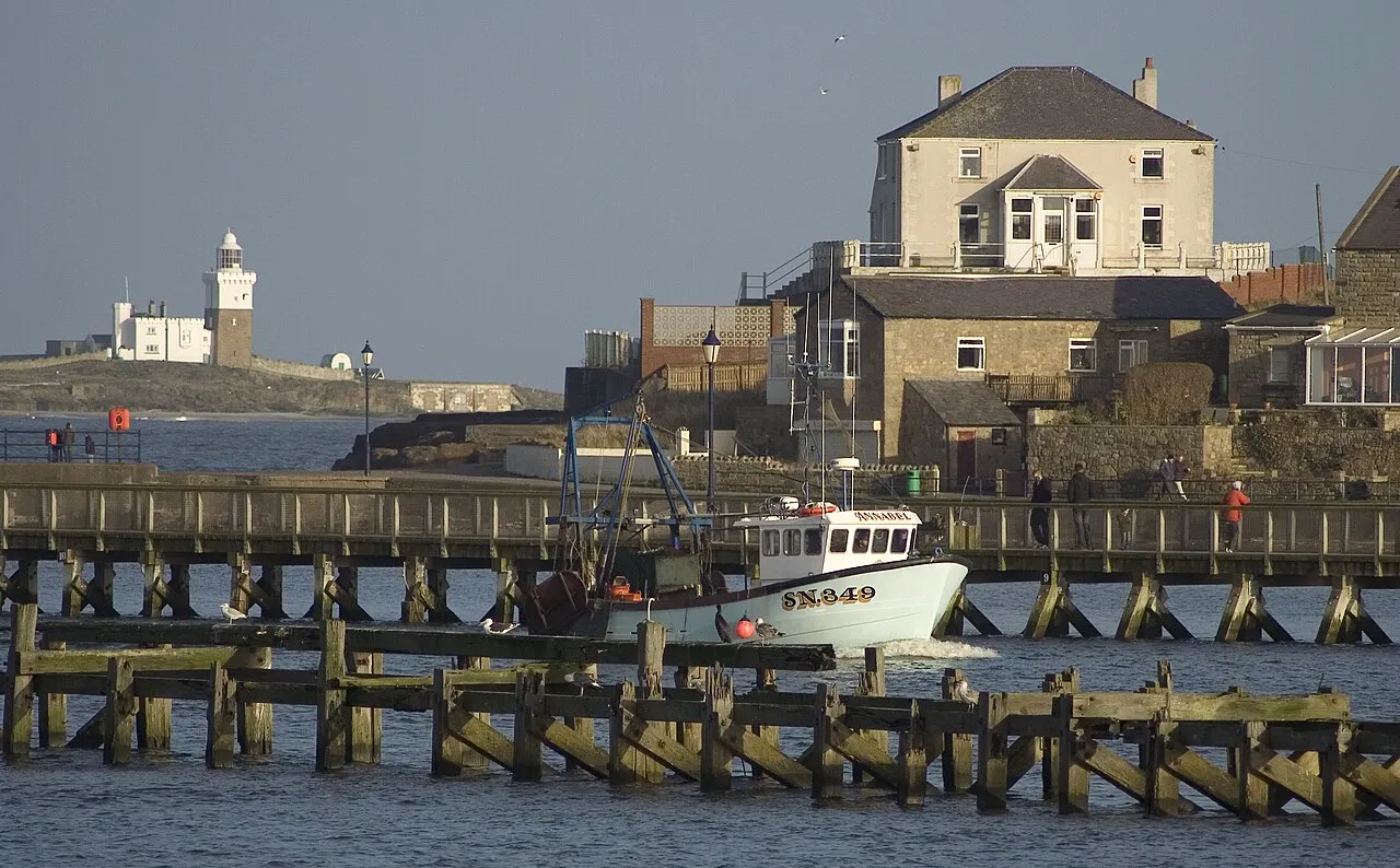
Amble is a town on the North Sea coast of Northumberland, England, at the mouth of the River Coquet; Coquet Island is visible from its beaches and harbour. In 2021, the parish of Amble by the Sea had a population of 5,860.
Source: Wikipedia · CC BY-SA 4.0
Photos of Amble
-

Michael Whitehead · CC BY 3.0 -

Simon Cobb · CC0 -

Simon Cobb · CC0


Travel notes for Amble
From Wikivoyage
Amble is a fishing village on the Northumberland coast, about 30 miles north of Newcastle. It's a quiet place with a population of 5900 in 2021. The main attraction is seeing the bird life on Coquet Island a mile offshore.
Get in+
Amble is on the A1068 coast road, 10 miles north of Morpeth and 10 miles south of Alnwick.
Arriva Northumbria Bus X18 runs hourly from Newcastle Haymarket, taking 90 min via Gosforth, Morpeth and Widdrington. From Amble it continues to Warkworth, Alnmouth village and railway station, and Alnwick. Four per day continue up the coast to Craster, Beadnell, Seahouses, Bamburgh, Belford, Beal (for Lindisfarne), Scremerston and Berwick-upon-Tweed.
Bus X20 runs hourly from Newcastle, taking 90 min via Ashington and Widdrington, continuing to Warkworth, Alnmouth station (but not Alnmouth village) and Alnwick.
Alnmouth is the closest railway station, with hourly trains between Newcastle, Berwick and Edinburgh. But not all trains stop there: if you have to change in Newcastle it might be just as quick to take the bus there or from Morpeth or Ashington.
Source: Wikivoyage · CC BY-SA 4.0 · abridged
Climate of Amble
Best months for sightseeingBest months for sightseeing: June–September.
This month · November
A cold month
Day 9° · Night 3° · Rain 61 mm
- Hottest month
- July (day 19°)
- Coldest month
- January (night 1°)
- Wettest month
- August (63 mm)
- Driest month
- February (42 mm)
Bars: average monthly low and high temperature. Below: precipitation. Monthly averages for 1970–2000 at about 18 km resolution, adjusted for elevation. Highlighted months are mild and relatively dry. Source: WorldClim 2.1 (CC BY 4.0).
Show values as a table
| Month | Jan | Feb | Mar | Apr | May | Jun | Jul | Aug | Sep | Oct | Nov | Dec |
|---|---|---|---|---|---|---|---|---|---|---|---|---|
| Average high (°C) | 6° | 7° | 9° | 11° | 14° | 17° | 19° | 19° | 16° | 13° | 9° | 7° |
| Average low (°C) | 1° | 1° | 2° | 3° | 6° | 9° | 11° | 11° | 9° | 6° | 3° | 2° |
| Precipitation (mm) | 56 | 42 | 52 | 45 | 49 | 51 | 50 | 63 | 54 | 54 | 61 | 59 |
Other places to visit in this season: June July August September
How to get to Amble
The nearest airport is Newcastle International Airport (NCL), 34 km to the south as the crow flies. The nearest large city is Newcastle upon Tyne, 40 km to the south.
Airports
- Newcastle International Airport (NCL) Newcastle upon Tyne, Tyne and Wear 34 kmsouth
- Teesside International Airport (MME) Darlington, Durham 92 kmsouth
- Edinburgh Airport (EDI) Ingliston, Edinburgh 132 kmnorthwest
Nearby large cities
- Newcastle upon Tyne Population: 300.1K 40 kmsouth
- Sunderland Population: 170.1K 49 kmsouth
- Middlesbrough Population: 142.7K 87 kmsouth
- Edinburgh Population: 515K 123 kmnorthwest
- Dundee Population: 148.2K 154 kmnorthwest
Straight-line distances; road distances are longer. Airport data: OurAirports.
Day trips from Amble
Within 100 km: 524 historic and cultural sites, 937 natural sites, 250 lakes, rivers and coasts.
0–25 km119 places
- Longhoughton Beach Beach 11 kmN
- Coquet Island Island 3 kmE
- Carr's Island Island 12 kmSW
- Castle Island Island 19 kmS
25–60 km624 places
- Cocklawburn Beach Beach 50 kmNW
- Cheswick Sands Beach 48 kmNW
- South Wamses Island 34 kmN
- Saint Mary’s Island Island 30 kmS
60–100 km968 places
- Seaton Carew Beach Beach 79 kmS
- Redcar Beach Beach 86 kmS
- Wooden Anna Island 61 kmNW
- Michell's Island Island 89 kmS
Straight-line distances.
Nearby attractions & nature
Everything nearby-
River Coquet River, England0.5 km N
-
Warkworth Castle Historic site, Warkworth2.2 km NW
-
Togston Tower Landmark, Togston2.3 km SW
-
Coquet Island Lighthouse Landmark, Hauxley2.8 km E
-
Coquet Island Island, Hauxley2.8 km E
-
Alnmouth Bay Natural site, England3.7 km N
-
Widdrington Castle Historic site, Widdrington Village8.7 km S
-
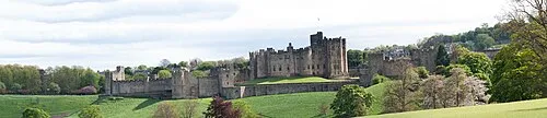 Alnwick Castle Historic site, Alnwick12 km NW
Sources & licences
Data last updated: · 2 independent sources