Bamburgh Castle
Located in Bamburgh, Northumberland Coordinates: 55°36′33″ N 1°42′40″ W
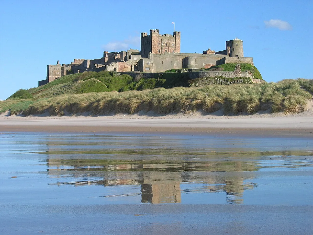
- Local time
- UTC+00:00
- Europe/London · UTC+00:00
- Elevation
- 35 m
- above sea level
- Airports
- NCL Newcastle International Airport64 km
- EDI Edinburgh Airport111 km
About Bamburgh Castle
Bamburgh Castle is a historic site. Location: Bamburgh, Northumberland.
Bamburgh Castle, on the northeast coast of England, by the village of Bamburgh in Northumberland, is a Grade I listed building. The site was originally the location of a Celtic Brittonic fort known as Din Guarie and may have been the capital of the kingdom of Bernicia from its foundation c. 420 to 547. In that last year, it was captured by King Ida of Bernicia. After passing between the Britons and the Anglo-Saxons three times, the fort came under Anglo-Saxon control in 590.
Source: Wikipedia · CC BY-SA 4.0
At a glance
- Architectural style
- Norman architecture
- Heritage designation
- Grade I listed building
- Official website
- bamburghcastle.com
Source: Wikidata
Photos of Bamburgh Castle
-

Lewis Clarke · CC BY-SA 2.0 -

Simon Cobb · CC0 -

Sean Arble · CC BY 2.0 -
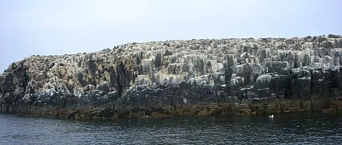
Staple Island Michael Spiller from Bradford, UK · CC BY-SA 2.0 -
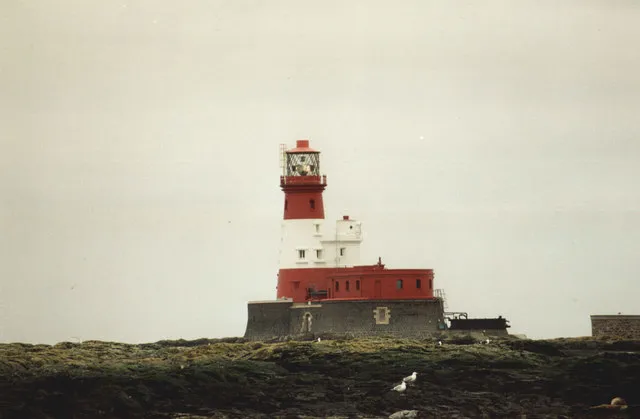
Longstone David Long · CC BY-SA 2.0


Climate of Bamburgh Castle
Best months for sightseeingBest months for sightseeing: June–September.
This month · November
A cold month
Day 8° · Night 2° · Rain 72 mm
- Hottest month
- July (day 19°)
- Coldest month
- January (night 0°)
- Wettest month
- November (72 mm)
- Driest month
- April (47 mm)
Bars: average monthly low and high temperature. Below: precipitation. Monthly averages for 1970–2000 at about 18 km resolution, adjusted for elevation. Highlighted months are mild and relatively dry. Source: WorldClim 2.1 (CC BY 4.0).
Show values as a table
| Month | Jan | Feb | Mar | Apr | May | Jun | Jul | Aug | Sep | Oct | Nov | Dec |
|---|---|---|---|---|---|---|---|---|---|---|---|---|
| Average high (°C) | 6° | 6° | 9° | 11° | 14° | 17° | 19° | 19° | 16° | 13° | 8° | 6° |
| Average low (°C) | 0° | 0° | 2° | 3° | 5° | 8° | 10° | 10° | 8° | 6° | 2° | 0° |
| Precipitation (mm) | 70 | 51 | 55 | 47 | 52 | 53 | 54 | 69 | 58 | 68 | 72 | 68 |
Other places to visit in this season: June July August September
How to get to Bamburgh Castle
The nearest airport is Newcastle International Airport (NCL), 64 km to the south as the crow flies. The nearest large city is Newcastle upon Tyne, 71 km to the south.
Airports
- Newcastle International Airport (NCL) Newcastle upon Tyne, Tyne and Wear 64 kmsouth
- Edinburgh Airport (EDI) Ingliston, Edinburgh 111 kmwest
- Teesside International Airport (MME) Darlington, Durham 124 kmsouth
Nearby large cities
- Newcastle upon Tyne Population: 300.1K 71 kmsouth
- Sunderland Population: 170.1K 81 kmsouth
- Edinburgh Population: 515K 101 kmnorthwest
- Middlesbrough Population: 142.7K 119 kmsouth
- Dundee Population: 148.2K 124 kmnorthwest
Straight-line distances; road distances are longer. Airport data: OurAirports.
Day trips from Bamburgh Castle
Within 100 km: 448 historic and cultural sites, 969 natural sites, 274 lakes, rivers and coasts.
0–25 km172 places
- Cocklawburn Beach Beach 20 kmNW
- Cheswick Sands Beach 19 kmNW
- Longhoughton Beach Beach 21 kmS
- South Wamses Island 6 kmNE
25–60 km482 places
- Coquet Island Island 32 kmS
- Wooden Anna Island 45 kmW
- Carr's Island Island 36 kmS
- Dreeper Island Island 32 kmW
60–100 km1,037 places
- Portobello Beach Beach 96 kmNW
- Gullane Beach Beach 85 kmNW
- Seacliff Beach Beach 76 kmNW
- Saint Mary’s Island Island 62 kmS
Straight-line distances.
Nearby attractions & nature
Everything nearby-
Bamburgh Siege Castle Historic site, Bamburgh0.2 km SW
-
Bamburgh Tower Landmark, Bamburgh0.4 km W
-
Bamburgh Castle Hill Mountain, Bamburgh0.1 km E
-
Warenmouth Tower Landmark, Bamburgh2.1 km W
-
Brada Hill Mountain, Bamburgh2.5 km SW
-
Prior Castell's Tower Landmark, North Sunderland3.6 km E
-
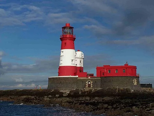 Longstone Lighthouse Landmark, North Sunderland7.4 km NE
-
Outchester Tower Landmark, Easington4.6 km W
Nearest towns and villages
-
Bamburgh Village, Bamburgh0.5 km SW
-
North Sunderland Village, North Sunderland4.6 km SE
-
Seahouses Village, North Sunderland4.8 km SE
-
Waren Mill Village, Easington3.6 km W
Sources & licences
Data last updated: · 2 independent sources