- Elevation
- 139 m
- above sea level
- Local time
- UTC+00:00
- Europe/London · UTC+00:00
- Airports
- BHX Birmingham Airport49 km
- LTN London Luton Airport73 km
About Drayton
Drayton is a village. Location: Drayton, Cherwell District. Elevation: 139 m. The best months to visit are June–August. The nearest airport is Birmingham Airport (49 km). Nearby sights include 12th Century Church and Hanwell Saint Peter.
Photos of Drayton
-
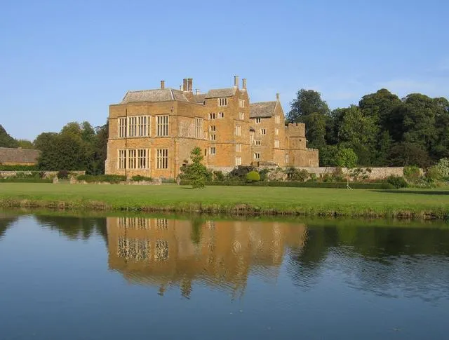
Broughton Castle David Stowell · CC BY-SA 2.0 -
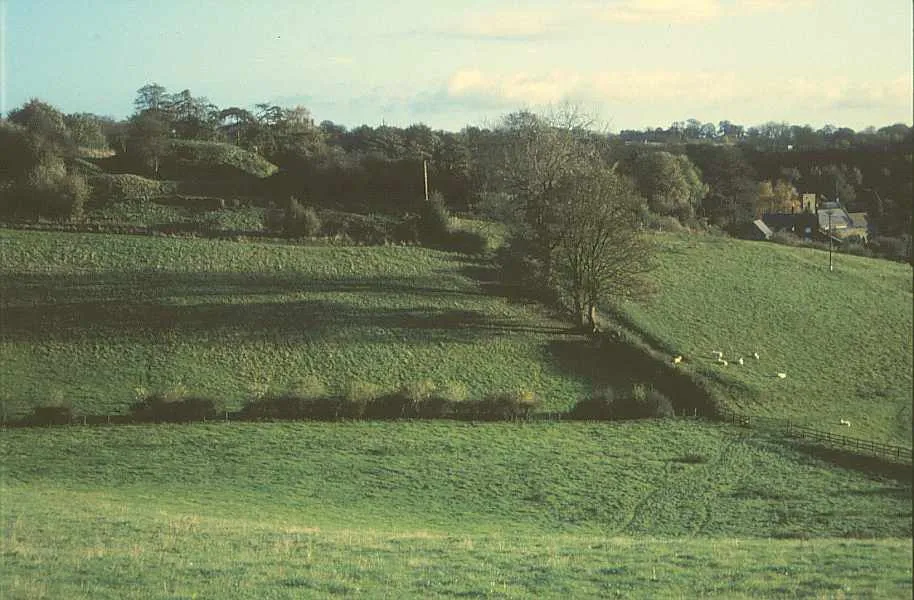
Ratley Motte Derek Harper · CC BY-SA 2.0


Climate of Drayton
Best months for sightseeingBest months for sightseeing: June–August.
This month · November
A cold month
Day 10° · Night 3° · Rain 63 mm
- Hottest month
- July (day 22°)
- Coldest month
- February (night 1°)
- Wettest month
- December (67 mm)
- Driest month
- February (47 mm)
Bars: average monthly low and high temperature. Below: precipitation. Monthly averages for 1970–2000 at about 18 km resolution, adjusted for elevation. Highlighted months are mild and relatively dry. Source: WorldClim 2.1 (CC BY 4.0).
Show values as a table
| Month | Jan | Feb | Mar | Apr | May | Jun | Jul | Aug | Sep | Oct | Nov | Dec |
|---|---|---|---|---|---|---|---|---|---|---|---|---|
| Average high (°C) | 7° | 7° | 9° | 12° | 16° | 19° | 22° | 21° | 18° | 14° | 10° | 7° |
| Average low (°C) | 1° | 1° | 2° | 3° | 6° | 9° | 11° | 11° | 9° | 6° | 3° | 2° |
| Precipitation (mm) | 64 | 47 | 55 | 48 | 54 | 58 | 49 | 61 | 62 | 61 | 63 | 67 |
How to get to Drayton
The nearest airport is Birmingham Airport (BHX), 49 km to the northwest as the crow flies. The nearest large city is Oxford, 37 km to the south.
Airports
- Birmingham Airport (BHX) Birmingham, West Midlands 49 kmnorthwest
- London Luton Airport (LTN) Luton, Luton 73 kmeast
- East Midlands Airport (EMA) Nottingham, Leicestershire 84 kmnorth
Nearby large cities
- Oxford Population: 162.1K 37 kmsouth
- Coventry Population: 345.3K 38 kmnorth
- Northampton Population: 245.9K 39 kmnortheast
- Milton Keynes Population: 256.4K 43 kmeast
- Solihull Population: 126.6K 47 kmnorthwest
Straight-line distances; road distances are longer. Airport data: OurAirports.
Day trips from Drayton
Within 100 km: 729 historic and cultural sites, 689 natural sites, 208 lakes, rivers and coasts.
0–25 km78 places
- Edge Hill Mountain 8 kmNW
- Ebrington Hill Mountain 24 kmW
- South Hill Mountain 19 kmSW
- Brailes Hill Mountain 14 kmW
25–60 km446 places
- Andersey Island Island 46 kmS
- Rose Isle Island 40 kmS
- Lock Wood Island Island 45 kmS
- Abbey Meadow Island 45 kmS
60–100 km1,102 places
- The Lynch Island 72 kmSE
- Holm Island Island 92 kmSE
- Lot's Ait Island 99 kmSE
- Alney Island Island 65 kmW
Straight-line distances.
Nearby attractions & nature
Everything nearby-
12th Century Church Historic site, Hanwell1.9 km N
-
Hanwell Saint Peter Attraction, Hanwell1.9 km N
-
Hanwell Castle Historic site, Hanwell2 km N
-
Hanwell Community Observatory Attraction, Hanwell2.1 km N
-
Crouch Hill Mountain, Banbury2.7 km SE
-
Broughton Castle Historic site, Broughton3.7 km S
Sources & licences
Data last updated: