Plymouth Breakwater Lighthouse
Located in Plymouth, England Coordinates: 50°20′04″ N 4°09′31″ W
- Local time
- UTC+00:00
- Europe/London · UTC+00:00
- Elevation
- -1 m
- above sea level
- Airports
- NQY Cornwall Airport Newquay61 km
- EXT Exeter International Airport69 km
About Plymouth Breakwater Lighthouse
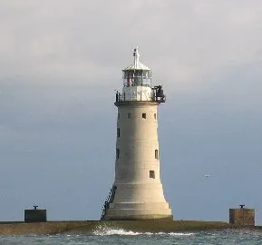
Plymouth Breakwater Lighthouse is a landmark. Location: Plymouth, England.
Plymouth Breakwater is a 1,560-metre (1,710 yd) stone breakwater protecting Plymouth Sound and the anchorages near Plymouth, Devon, England. It is 13 metres (43 ft) wide at the top and the base is 65 metres (213 ft). It lies in about 10 metres (33 ft) of water. Around 4 million tons of rock were used in its construction in 1812 at the then-colossal cost of £1.5 million (equivalent to £92.2 million today).
Source: Wikipedia · CC BY-SA 4.0
At a glance
- Built
- 1844
- Height
- 23 m
Source: Wikidata
Photos of Plymouth Breakwater Lighthouse
-

Lewis Clarke · CC BY-SA 2.0 -

Peter S · CC BY-SA 2.0 -

Peter S · CC BY-SA 2.0 -

Lewis Clarke · CC BY-SA 2.0 -

Alistair Hamilton from Nowhere near a city!, Scotland · CC BY 2.0


Climate of Plymouth Breakwater Lighthouse
Best months for sightseeingBest months for sightseeing: June–September.
This month · November
A wet month
Day 12° · Night 6° · Rain 118 mm
- Hottest month
- July (day 20°)
- Coldest month
- February (night 4°)
- Wettest month
- December (129 mm)
- Driest month
- July (56 mm)
Bars: average monthly low and high temperature. Below: precipitation. Monthly averages for 1970–2000 at about 18 km resolution, adjusted for elevation. Highlighted months are mild and relatively dry. Source: WorldClim 2.1 (CC BY 4.0).
Show values as a table
| Month | Jan | Feb | Mar | Apr | May | Jun | Jul | Aug | Sep | Oct | Nov | Dec |
|---|---|---|---|---|---|---|---|---|---|---|---|---|
| Average high (°C) | 9° | 9° | 11° | 13° | 16° | 18° | 20° | 20° | 18° | 15° | 12° | 10° |
| Average low (°C) | 4° | 4° | 5° | 5° | 8° | 11° | 13° | 13° | 11° | 9° | 6° | 5° |
| Precipitation (mm) | 121 | 95 | 82 | 65 | 64 | 63 | 56 | 72 | 84 | 108 | 118 | 129 |
Other places to visit in this season: June July August September
How to get to Plymouth Breakwater Lighthouse
The nearest airport is Cornwall Airport Newquay (NQY), 61 km to the west as the crow flies. For international flights: Cardiff International Airport (CWL) (131 km). The nearest large city is Plymouth, 4 km to the north.
Airports
- Cornwall Airport Newquay (NQY) Newquay 61 kmwest
- Exeter International Airport (EXT) Exeter, Devon 69 kmnortheast
- Cardiff International Airport (CWL) Cardiff 131 kmnortheast
Nearby large cities
- Plymouth Population: 260.2K 4 kmnorth
- Exeter Population: 130.7K 62 kmnortheast
- Swansea Population: 300.4K 144 kmnorth
- Cardiff Population: 372.1K 145 kmnortheast
- Poole Population: 151.5K 160 kmeast
Straight-line distances; road distances are longer. Airport data: OurAirports.
Day trips from Plymouth Breakwater Lighthouse
Within 100 km: 169 historic and cultural sites, 820 natural sites, 126 lakes, rivers and coasts.
0–25 km129 places
- Burgh Island Island 19 kmE
- South Milton Sands Beach 23 kmE
- Bantham Beach Beach 21 kmE
- Wadham Rocks Beach Beach 12 kmE
25–60 km494 places
- Goodrington Sands Beach 43 kmE
- Oddicombe Beach Beach 49 kmE
- Babbacombe Beach Beach 49 kmE
- Lannacombe Beach Beach 36 kmE
60–100 km492 places
- Saunton Sands Beach 85 kmN
- Charmouth Beach Beach 100 kmNE
- Gylly Beach Beach 68 kmW
- Swanpool Beach Beach 69 kmW
Straight-line distances.
Nearby attractions & nature
Everything nearby-
Plymouth Breakwater Fort Historic site, Plymouth0.7 km E
-
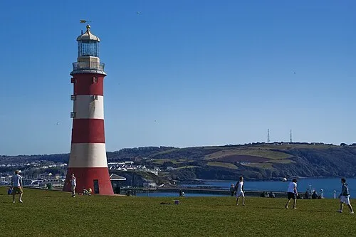 Eddystone Light Landmark, Plymouth3.5 km N
-
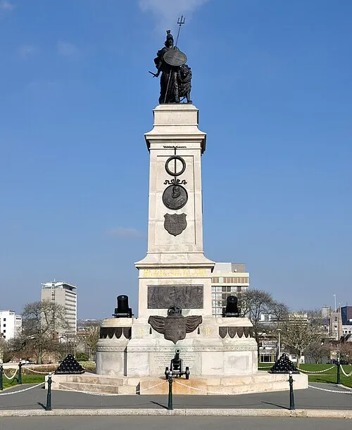 Armada Memorial Landmark, Plymouth3.6 km N
-
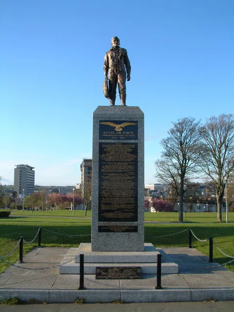 Royal Air Force Memorial Landmark, Plymouth3.6 km N
-
Pavilion Pier Light (historical) Landmark, Plymouth3.3 km N
-
Plymouth Blockhouse and Harbour Chain Landmark, Plymouth3.4 km NE
-
Martello Tower Landmark, Plymouth3.5 km NE
-
Drake’s Island Island, Plymouth2.4 km N
Nearest towns and villages
-
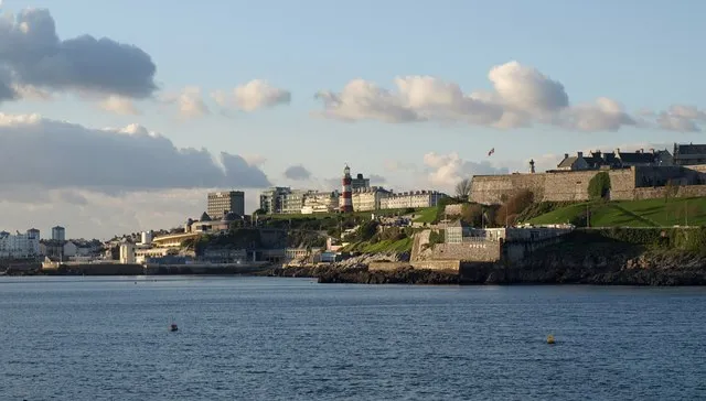 Plymouth City, Plymouth4.3 km N
-
 Stoke Village, Plymouth5.4 km N
-
Torpoint Town, Torpoint5.2 km NW
-
Maker-with-Rame Municipality, Cornwall3 km W
More sights in Plymouth
-
 Home Park Landmark, Plymouth6 km N
-
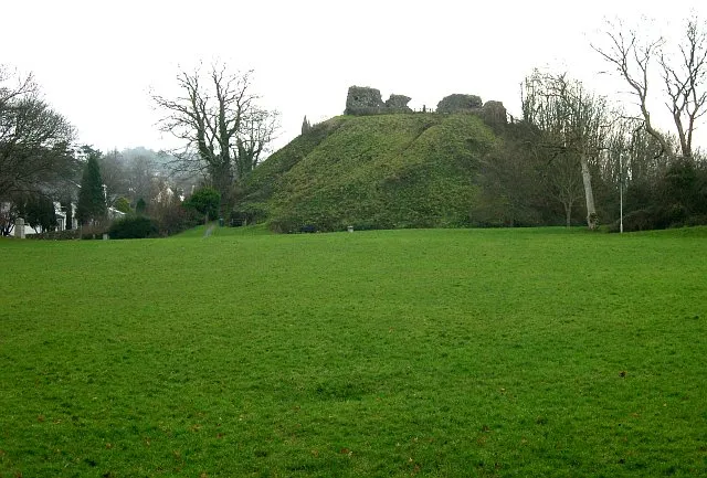 Plympton Castle Historic site, Plymouth9.6 km NE
-
Drake Monument Landmark, Plymouth3.6 km N
-
Sensory Garden Attraction, Plymouth3.6 km N
-
Plymouth Hoe Memorial Landmark, Plymouth3.7 km N
-
Plymouth Castle Quadrate Historic site, Plymouth3.9 km NE
Sources & licences
Data last updated: · 2 independent sources