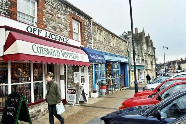
South Gloucestershire
Located in England, United Kingdom Coordinates: 51°30′00″ N 2°25′00″ W
- Population
- 306,332
- 306.3K
- Elevation
- 112 m
- above sea level
- Local time
- UTC+00:00
- Europe/London · UTC+00:00
- Places inside
- 57
- listed under South Gloucestershire
- Airports
- BRS Bristol Airport25 km
- CWL Cardiff International Airport65 km
About South Gloucestershire
South Gloucestershire is a district. Location: England, United Kingdom. Population: 306,332. The best months to visit are June–August. The nearest airport is Bristol Airport (25 km). Nearby sights include Purdown BT Tower and Memorial Stadium.
Climate of South Gloucestershire
Best months for sightseeingBest months for sightseeing: June–August.
This month · November
A cold month
Day 10° · Night 4° · Rain 81 mm
- Hottest month
- July (day 21°)
- Coldest month
- February (night 2°)
- Wettest month
- December (89 mm)
- Driest month
- July (50 mm)
Bars: average monthly low and high temperature. Below: precipitation. Monthly averages for 1970–2000 at about 18 km resolution, adjusted for elevation. Highlighted months are mild and relatively dry. Source: WorldClim 2.1 (CC BY 4.0).
Show values as a table
| Month | Jan | Feb | Mar | Apr | May | Jun | Jul | Aug | Sep | Oct | Nov | Dec |
|---|---|---|---|---|---|---|---|---|---|---|---|---|
| Average high (°C) | 7° | 7° | 10° | 12° | 16° | 19° | 21° | 21° | 18° | 14° | 10° | 8° |
| Average low (°C) | 2° | 2° | 3° | 4° | 7° | 10° | 12° | 12° | 10° | 7° | 4° | 3° |
| Precipitation (mm) | 87 | 60 | 68 | 54 | 59 | 64 | 50 | 67 | 77 | 79 | 81 | 89 |
How to get to South Gloucestershire
The nearest airport is Bristol Airport (BRS), 25 km to the southwest as the crow flies. The nearest large city is Bristol, 13 km to the west.
Airports
- Bristol Airport (BRS) Bristol 25 kmsouthwest
- Cardiff International Airport (CWL) Cardiff 65 kmwest
- Bournemouth Airport (BOH) Bournemouth 90 kmsoutheast
Nearby large cities
- Bristol Population: 479K 13 kmwest
- Bath Population: 101.6K 14 kmsouth
- Newport Population: 161.5K 42 kmwest
- Gloucester Population: 132.4K 42 kmnorth
- Swindon Population: 201.7K 45 kmeast
Straight-line distances; road distances are longer. Airport data: OurAirports.
Places in South Gloucestershire
57 placesBar: population relative to the most populous place in this list.
Cities & villages54
- Acton Turville · Municipality
- Almondsbury · Municipality
- Alveston · Municipality
- Aust · Municipality
- Badminton · Municipality
- Bitton · Municipality
- Bradley Stoke · Municipality
- Charfield · Municipality
- Cold Ashton · Municipality
- Cromhall · Municipality
- Dodington · Municipality
- Downend and Bromley Heath · Municipality
- Doynton · Municipality
- Dyrham and Hinton · Municipality
- Falfield · Municipality
- Filton · Municipality
- Frampton Cotterell · Municipality
- Hanham · Municipality
- Hanham Abbots · Municipality
- Hawkesbury · Municipality
- Hill · Municipality
- Hopewell Hill · Neighbourhood
- Horton · Municipality
- Iron Acton · Municipality
- Little Sodbury · Municipality
- Lower Soundwell · Neighbourhood
- Mangotsfield Rural · Municipality
- Marshfield · Municipality
- Mount Hill · Neighbourhood
- New Cheltenham · Neighbourhood
- Oldbury-upon-Severn · Municipality
- Oldland · Municipality
- Olveston · Municipality
- Patchway · Municipality
- Pilning and Severn Beach · Municipality
- Potterswood · Neighbourhood
- Pucklechurch · Municipality
- Rangeworthy · Municipality
- Rockhampton · Municipality
- Sodbury · Municipality
- Staple Hill · Neighbourhood
- Stoke Gifford · Municipality
- Thornbury · Municipality
- Tormarton · Municipality
- Tortworth · Municipality
- Tytherington · Municipality
- Upper Soundwell · Neighbourhood
- Warmley Hill · Neighbourhood
- Westerleigh · Municipality
- Wick and Abson · Municipality
- Wickwar · Municipality
- Winterbourne · Municipality
- Woodstock · Neighbourhood
- Yate · Municipality
Mountains & nature2
- Hopewell Hill · Mountain
- Mount Hill · Mountain
Nature and heritage in South Gloucestershire
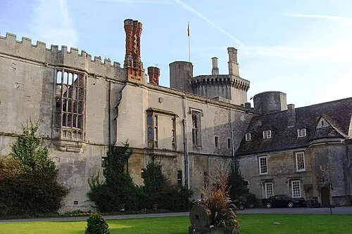
Nearby attractions & nature
Everything nearby-
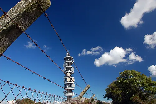 Purdown BT Tower Landmark, Bristol10 km W
-
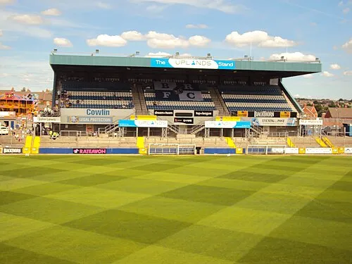 Memorial Stadium Landmark, Bristol12 km W
-
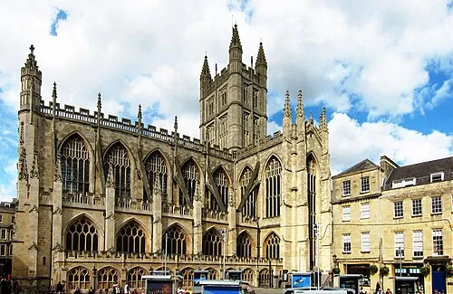 Bath Abbey Attraction, Bath and North East Somerset14 km S
-
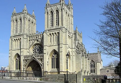 Bristol Cathedral Attraction, Bristol14 km SW
-
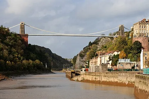 Clifton Suspension Bridge Landmark, Bristol16 km W
-
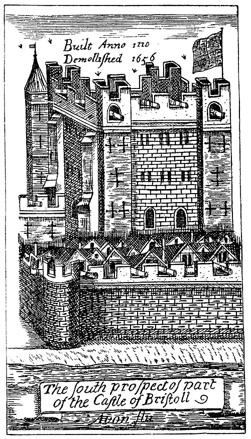 Bristol Castle Historic site, Bristol13 km W
Sources & licences
Data last updated: