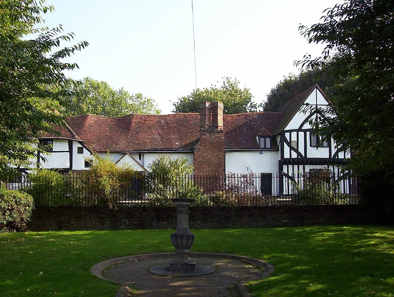
- Population
- 22,834
- 22.8K
- Elevation
- 18 m
- above sea level
- Local time
- UTC+00:00
- Europe/London · UTC+00:00
- Airports
- LHR London Heathrow Airport10 km
- LGW London Gatwick Airport31 km
About Walton on Thames
Walton on Thames is a town. Location: Elmbridge District, Surrey. Population: 22,834. Elevation: 18 m.
Walton-on-Thames, known locally as Walton, is a market town on the south bank of the Thames in northwest Surrey, England. It is in the Borough of Elmbridge, about 15 mi (24 km) southwest of central London. Walton forms part of the Greater London Built-up Area, and is served by a wide range of transport links. According to the 2011 census, the town has a total population of 22,834. The town itself consists mostly of suburban streets, with a historic town centre of Celtic origin.
Source: Wikipedia · CC BY-SA 4.0
At a glance
- Area
- 9.7 km²
Source: Wikidata
Photos of Walton on Thames
-

James Emmans · CC BY-SA 2.0 -

James Emmans · CC BY-SA 2.0 -

Des Blenkinsopp · CC BY-SA 2.0 -

Stacey Harris · CC BY-SA 2.0 -

Des Blenkinsopp · CC BY-SA 2.0


Places bordering Walton on Thames
- Weybridge
Climate of Walton on Thames
Best months for sightseeingBest months for sightseeing: June–August.
This month · November
A cold month
Day 11° · Night 4° · Rain 58 mm
- Hottest month
- July (day 23°)
- Coldest month
- February (night 2°)
- Wettest month
- October (62 mm)
- Driest month
- February (38 mm)
Bars: average monthly low and high temperature. Below: precipitation. Monthly averages for 1970–2000 at about 18 km resolution, adjusted for elevation. Highlighted months are mild and relatively dry. Source: WorldClim 2.1 (CC BY 4.0).
Show values as a table
| Month | Jan | Feb | Mar | Apr | May | Jun | Jul | Aug | Sep | Oct | Nov | Dec |
|---|---|---|---|---|---|---|---|---|---|---|---|---|
| Average high (°C) | 8° | 8° | 11° | 13° | 17° | 21° | 23° | 23° | 19° | 15° | 11° | 9° |
| Average low (°C) | 2° | 2° | 3° | 5° | 8° | 11° | 13° | 13° | 10° | 7° | 4° | 3° |
| Precipitation (mm) | 59 | 38 | 45 | 44 | 48 | 51 | 40 | 48 | 56 | 62 | 58 | 59 |
How to get to Walton on Thames
The nearest airport is London Heathrow Airport (LHR), 10 km to the north as the crow flies. The nearest large city is Woking, 13 km to the southwest.
Airports
- London Heathrow Airport (LHR) London 10 kmnorth
- London Gatwick Airport (LGW) London 31 kmsoutheast
- London City Airport (LCY) London 35 kmeast
Nearby large cities
- Woking Population: 103.9K 13 kmsouthwest
- Sutton Population: 187.6K 15 kmeast
- Slough Population: 164.8K 19 kmnorthwest
- Croydon Population: 173.3K 22 kmeast
- Harrow Population: 149.2K 22 kmnorth
Straight-line distances; road distances are longer. Airport data: OurAirports.
Day trips from Walton on Thames
Within 100 km: 835 historic and cultural sites, 653 natural sites, 318 lakes, rivers and coasts.
0–25 km354 places
- Holm Island Island 10 kmNW
- Sunbury Court Island 3 kmNE
- Rivermead Island 3 kmNE
- Lot's Ait Island 14 kmNE
25–60 km609 places
- White Hart Lane Landmark 34 kmNE
- The Lynch Island 36 kmW
- Wargrave Island Island 35 kmNW
- Loddon Island Island 33 kmW
60–100 km843 places
- Portsea Island Natural site 80 kmSW
- Isle of Wight Island 100 kmSW
- Isle of Sheppey Island 87 kmE
- Spotlites @ Kings Theatre Attraction 66 kmE
Straight-line distances.
Nearby attractions & nature
Everything nearby-
Wheatley's Eyot Island, Elmbridge District1.3 km N
-
Sunburylock Ait Island, Elmbridge District1.9 km N
-
Desborough Island Island, Elmbridge District2.2 km W
-
Swan's Rest Island Island, Elmbridge District2.6 km NE
-
Rivermead Island, Elmbridge District2.6 km NE
-
Sunbury Natural site, Spelthorne District2.5 km N
-
Waynfletes Tower Landmark, Elmbridge District2.9 km SE
-
D'Oyly Carte Island Island, Elmbridge District2.9 km W
Sources & licences
Data last updated: · 2 independent sources