Spelthorne District
Located in Surrey, England Coordinates: 51°25′28″ N 0°27′38″ W
- Population
- 98,902
- 98.9K
- Elevation
- 17 m
- above sea level
- Local time
- UTC+00:00
- Europe/London · UTC+00:00
- Places inside
- 33
- listed under Spelthorne District
About Spelthorne District
Spelthorne District is a municipality. Location: Surrey, England. Population: 98,902. Elevation: 17 m.
In comparison
- No. 6 of 11 places in Surrey by population
- Nearest larger town: Hounslow, 8 km NE
- 68 sights and natural places within 10 km Queen Mary Reservoir, Penton Park
- Listed here: Neighbourhood: 11, Island: 7, Village: 7, Town: 5
Places in Spelthorne District
33 places-
Staines-upon-Thames Town51K
-
Sunbury-on-Thames Town27.8K
-
Ashford Town27.4K
-
Stanwell Town11.3K
-
Shepperton Town10.1K
-
Beasley's Ait Neighbourhood
-
Birch Green Neighbourhood
-
Charlton Village
-
Chattern Hill Neighbourhood
-
Church Island Island
-
Grand Junction Island Island
-
Hamhaugh Island Neighbourhood
-
Hamhaugh Island Island
-
Kempton Park Neighbourhood
-
Knowle Green Neighbourhood
-
Laleham Neighbourhood
-
Littleton Village
-
Littleton Common Village
-
Lock Island Island
-
Lock Island Neighbourhood
-
Lower Halliford Neighbourhood
-
Lower Hampton Road Natural site
-
Penton Hook Island Island
-
Pharaoh's Island Neighbourhood
-
Pharaoh's Island Island
-
Queen Mary Reservoir Lake
-
Stanwell Moor Village
-
Sunbury Natural site
-
Sunbury Common Village
-
Sunbury Court Island
-
Towpath Neighbourhood
-
Upper Halliford Village
-
West Bedfont Village
Nearby attractions & nature
Everything nearby-
Penton Park Natural site, Runnymede District3.2 km SW
-
Truss's Island Island, Runnymede District3.7 km W
-
Thorpe Park Natural site, Runnymede District4.3 km SW
-
Fleet Lake Lake, Runnymede District4.1 km SW
-
Abbey Lake Lake, Runnymede District4.2 km SW
-
Wheatley's Eyot Island, Elmbridge District4.2 km SE
-
Sunburylock Ait Island, Elmbridge District4.2 km SE
-
Desborough Island Island, Elmbridge District4.4 km S
Other cities and towns in Surrey
-
Elmbridge District Municipality, Surrey9.3 km SE
-
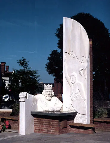 Egham Town, Runnymede District6.4 km W
-
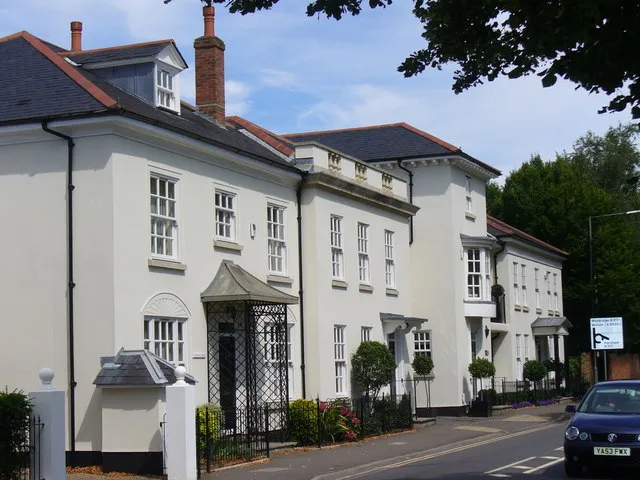 Weybridge Town, Elmbridge District5.9 km S
-
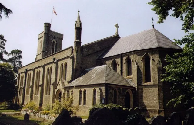 Addlestone Town, Runnymede District6.3 km S
-
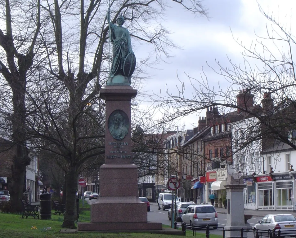 Esher Town, Elmbridge District8.9 km SE
-
Woking District Municipality, Surrey15 km SW
Sources & licences
Data last updated: