- Population
- 11,279
- 11.3K
- Elevation
- 19 m
- above sea level
- Local time
- UTC+00:00
- Europe/London · UTC+00:00
- Airports
- LHR London Heathrow Airport2 km
- LCY London City Airport37 km
About Stanwell
Stanwell is a town. Location: Spelthorne District, Surrey. Population: 11,279. Elevation: 19 m. The best months to visit are June–August. The nearest airport is London Heathrow Airport (2 km). Nearby sights include Church Island and Penton Hook Island.
Climate of Stanwell
Best months for sightseeingBest months for sightseeing: June–August.
This month · November
A cold month
Day 11° · Night 4° · Rain 58 mm
- Hottest month
- July (day 23°)
- Coldest month
- February (night 2°)
- Wettest month
- October (62 mm)
- Driest month
- February (38 mm)
Bars: average monthly low and high temperature. Below: precipitation. Monthly averages for 1970–2000 at about 18 km resolution, adjusted for elevation. Highlighted months are mild and relatively dry. Source: WorldClim 2.1 (CC BY 4.0).
Show values as a table
| Month | Jan | Feb | Mar | Apr | May | Jun | Jul | Aug | Sep | Oct | Nov | Dec |
|---|---|---|---|---|---|---|---|---|---|---|---|---|
| Average high (°C) | 8° | 8° | 11° | 13° | 17° | 21° | 23° | 23° | 19° | 15° | 11° | 9° |
| Average low (°C) | 2° | 2° | 3° | 5° | 8° | 11° | 13° | 13° | 10° | 7° | 4° | 3° |
| Precipitation (mm) | 59 | 38 | 45 | 44 | 48 | 51 | 40 | 48 | 56 | 62 | 58 | 59 |
How to get to Stanwell
The nearest airport is London Heathrow Airport (LHR), 2 km to the northeast as the crow flies. The nearest large city is Slough, 10 km to the northwest.
Airports
- London Heathrow Airport (LHR) London 2 kmnortheast
- London City Airport (LCY) London 37 kmeast
- London Gatwick Airport (LGW) London 40 kmsoutheast
Nearby large cities
- Slough Population: 164.8K 10 kmnorthwest
- Woking Population: 103.9K 16 kmsouth
- Harrow Population: 149.2K 17 kmnortheast
- Sutton Population: 187.6K 23 kmsoutheast
- Watford Population: 125.7K 23 kmnorth
Straight-line distances; road distances are longer. Airport data: OurAirports.
Nearby attractions & nature
Everything nearby-
Church Island Island, Spelthorne District3.6 km SW
-
Penton Hook Island Island, Spelthorne District5 km S
-
Heathrow Airport Mediumwave Transmitter Landmark, Hillingdon4 km NE
-
Holm Island Island, Runnymede District4.1 km SW
-
Runnymede Bridge Late Bronze Age Site Historic site, Wraysbury4.3 km SW
-
Queen Mary Reservoir Lake, Spelthorne District5 km S
-
Hollyhock Island Island, Wraysbury4 km SW
-
Dearsley Island Island, Wraysbury4.2 km W
Other cities and towns in Spelthorne District
-
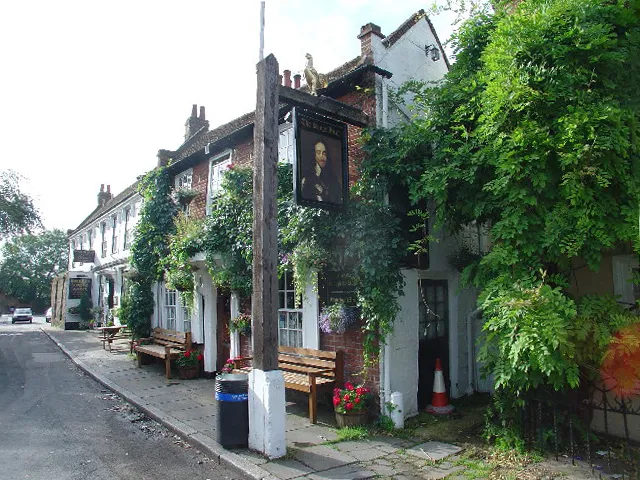 Shepperton Town, Spelthorne District6.8 km S
-
Sunbury-on-Thames Town, Spelthorne District6.9 km SE
Sources & licences
Data last updated: