Lower Hampton Road
Located in Spelthorne District, Surrey Coordinates: 51°24′42″ N 0°23′48″ W
- Elevation
- 13 m
- above sea level
- Local time
- UTC+00:00
- Europe/London · UTC+00:00
- Airports
- LHR London Heathrow Airport8 km
- LGW London Gatwick Airport33 km
About Lower Hampton Road
Lower Hampton Road is a natural site. Location: Spelthorne District, Surrey. The best months to visit are June–August. The nearest airport is London Heathrow Airport (8 km). Nearby sights include Sunbury Court and Rivermead.
Climate of Lower Hampton Road
Best months for sightseeingBest months for sightseeing: June–August.
This month · November
A cold month
Day 11° · Night 5° · Rain 58 mm
- Hottest month
- July (day 23°)
- Coldest month
- February (night 2°)
- Wettest month
- October (62 mm)
- Driest month
- February (38 mm)
Bars: average monthly low and high temperature. Below: precipitation. Monthly averages for 1970–2000 at about 18 km resolution, adjusted for elevation. Highlighted months are mild and relatively dry. Source: WorldClim 2.1 (CC BY 4.0).
Show values as a table
| Month | Jan | Feb | Mar | Apr | May | Jun | Jul | Aug | Sep | Oct | Nov | Dec |
|---|---|---|---|---|---|---|---|---|---|---|---|---|
| Average high (°C) | 8° | 8° | 11° | 13° | 18° | 21° | 23° | 23° | 19° | 15° | 11° | 9° |
| Average low (°C) | 2° | 2° | 3° | 5° | 8° | 11° | 13° | 13° | 10° | 8° | 5° | 3° |
| Precipitation (mm) | 59 | 38 | 45 | 44 | 48 | 51 | 40 | 48 | 56 | 62 | 58 | 59 |
How to get to Lower Hampton Road
The nearest airport is London Heathrow Airport (LHR), 8 km to the northwest as the crow flies. The nearest large city is Woking, 15 km to the southwest.
Airports
- London Heathrow Airport (LHR) London 8 kmnorthwest
- London Gatwick Airport (LGW) London 33 kmsoutheast
- London City Airport (LCY) London 33 kmeast
Nearby large cities
- Woking Population: 103.9K 15 kmsouthwest
- Sutton Population: 187.6K 15 kmsoutheast
- Slough Population: 164.8K 18 kmnorthwest
- Harrow Population: 149.2K 19 kmnorth
- City of Westminster Population: 247.6K 20 kmnortheast
Straight-line distances; road distances are longer. Airport data: OurAirports.
Nearest towns and villages
-
Sunbury-on-Thames Town, Spelthorne District1.7 km SW
-
 Hampton Town, Richmond upon Thames2.1 km E
-
Molesey Town, Elmbridge District1.8 km SE
-
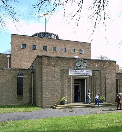 Hanworth Town, Hounslow2.6 km N
-
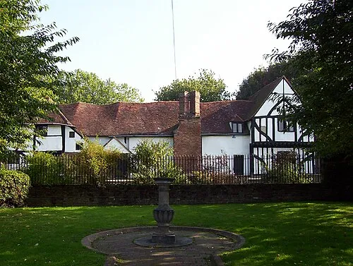 Walton on Thames Town, Elmbridge District3 km SW
-
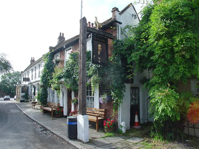 Shepperton Town, Spelthorne District4.1 km SW
Nearby attractions & nature
Everything nearby-
Sunbury Court Island, Spelthorne District0.3 km SE
-
Rivermead Island, Elmbridge District0.4 km S
-
Grand Junction Island Island, Spelthorne District0.6 km E
-
Swan's Rest Island Island, Elmbridge District0.4 km S
-
Sunbury Natural site, Spelthorne District0.9 km W
-
Sunburylock Ait Island, Elmbridge District1.2 km SW
-
Platt's Eyot Island, Richmond upon Thames1.7 km E
-
Wheatley's Eyot Island, Elmbridge District2 km SW
Sources & licences
Data last updated: