- Population
- 113,866
- 113.9K
- Elevation
- 7 m
- above sea level
- Local time
- UTC+00:00
- Europe/London · UTC+00:00
- Airports
- LGW London Gatwick Airport39 km
- SOU Southampton Airport71 km
About Worthing
Worthing is a city. Location: Worthing District, West Sussex. Population: 113,866. Elevation: 7 m. The best months to visit are June–August. The nearest airport is London Gatwick Airport (39 km). Nearby sights include Durrington Minature Railway and Lancing Ring.
Photos of Worthing
-
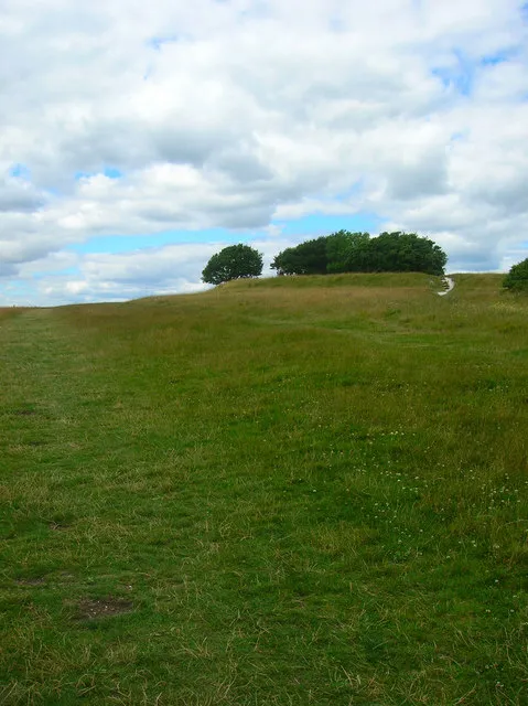
Highdown Hill Simon Carey · CC BY-SA 2.0 -
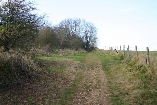
Lancing Ring Bob Parkes · CC BY-SA 2.0 -
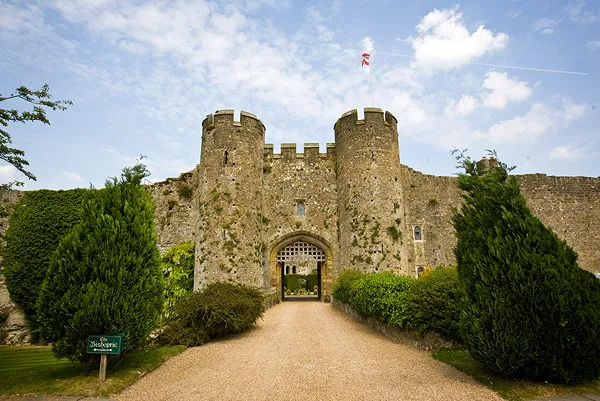
Amberley Castle Jonathan Day from Brighton, UK · CC BY 2.0 -
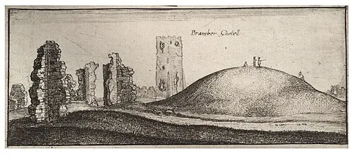
Bramber Castle Wenceslaus Hollar · Public domain -
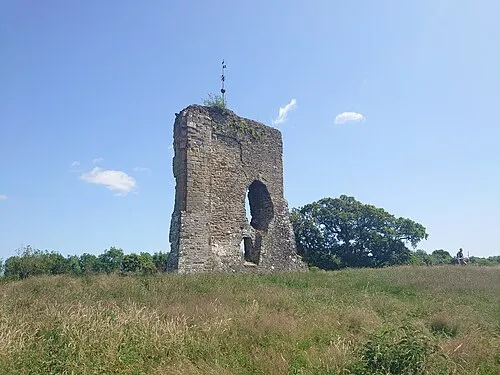
Knepp Castle Richard Nevell · CC BY-SA 4.0


Climate of Worthing
Best months for sightseeingBest months for sightseeing: June–August.
This month · November
A cold month
Day 11° · Night 4° · Rain 84 mm
- Hottest month
- July (day 22°)
- Coldest month
- January (night 1°)
- Wettest month
- November (84 mm)
- Driest month
- July (40 mm)
Bars: average monthly low and high temperature. Below: precipitation. Monthly averages for 1970–2000 at about 18 km resolution, adjusted for elevation. Highlighted months are mild and relatively dry. Source: WorldClim 2.1 (CC BY 4.0).
Show values as a table
| Month | Jan | Feb | Mar | Apr | May | Jun | Jul | Aug | Sep | Oct | Nov | Dec |
|---|---|---|---|---|---|---|---|---|---|---|---|---|
| Average high (°C) | 7° | 8° | 11° | 13° | 17° | 20° | 22° | 22° | 19° | 15° | 11° | 8° |
| Average low (°C) | 1° | 1° | 3° | 4° | 7° | 10° | 12° | 12° | 10° | 7° | 4° | 2° |
| Precipitation (mm) | 81 | 54 | 57 | 45 | 43 | 49 | 40 | 50 | 66 | 81 | 84 | 84 |
How to get to Worthing
The nearest airport is London Gatwick Airport (LGW), 39 km to the north as the crow flies. The nearest large city is Brighton, 17 km to the east.
Airports
- London Gatwick Airport (LGW) London 39 kmnorth
- Southampton Airport (SOU) Southampton 71 kmwest
- London Heathrow Airport (LHR) London 73 kmnorth
Nearby large cities
- Brighton Population: 283.9K 17 kmeast
- Crawley Population: 124K 35 kmnorth
- Eastbourne Population: 101.7K 47 kmeast
- Portsmouth Population: 208.1K 51 kmwest
- Woking Population: 103.9K 57 kmnorth
Straight-line distances; road distances are longer. Airport data: OurAirports.
Day trips from Worthing
Within 100 km: 571 historic and cultural sites, 523 natural sites, 234 lakes, rivers and coasts.
0–25 km70 places
- St Nicholas Church Shoreham Attraction 7 kmE
- The Marlipins Museum Museum 7 kmE
- Climping Beach Beach 14 kmW
- Rookery Island Island 22 kmNW
25–60 km377 places
- Portsea Island Natural site 49 kmW
- Pagham Beach Beach 26 kmW
- Bembridge Beach Beach 52 kmW
- Whale Island Island 51 kmW
60–100 km881 places
- Isle of Wight Island 66 kmW
- White Hart Lane Landmark 90 kmN
- Spotlites @ Kings Theatre Attraction 89 kmNE
- Avon Beach Beach 96 kmW
Straight-line distances.
Worthing and similar cities
Side by side with cities of similar size in the same country: population, elevation and climate.
| Measure | Worthing | Doncaster | Chesterfield | Chelmsford |
|---|---|---|---|---|
| Population | 113.9K | 113.6K | 113.1K | 111.5K |
| Elevation | 7 m | 19 m | 89 m | 33 m |
| Summer day (hottest month) | 22° | 21° | 21° | 22° |
| Winter night (coldest month) | 1° | 1° | 1° | 1° |
| Annual rainfall | 734 mm | 574 mm | 830 mm | 589 mm |
| Best months | Jun–Aug | Jun–Aug | Jun–Aug | Jun–Aug |
| Distance | — | 305 km | 280 km | 118 km |
Climate values are 1970–2000 monthly averages; straight-line distance.
Nearby attractions & nature
Everything nearby-
Durrington Minature Railway Natural site, England2.3 km W
-
Lancing Ring Mountain, Lancing4.8 km NE
-
Highdown Hill Mountain, Ferring5.4 km W
-
Cissbury Ring Mountain, Worthing District4.9 km N
-
Steep Down Mountain, Sompting4.9 km NE
-
Bramber Castle Historic site, Bramber8.4 km NE
-
Church Hill Mountain, Findon6.1 km NW
-
Old Toll Bridge Shoreham Landmark, Adur District6.6 km E
Sources & licences
Data last updated: