Coleraine
Local name: Cúil Raithin
Located in Causeway Coast and Glens, Northern Ireland Coordinates: 55°08′00″ N 6°40′00″ W
- Population
- 25,681
- 25.7K
- Elevation
- 5 m
- above sea level
- Local time
- UTC+00:00
- Europe/London · UTC+00:00
- Airports
- LDY City of Derry Airport33 km
- BFS Belfast International Airport60 km
About Coleraine
Coleraine is a city. Location: Causeway Coast and Glens, Northern Ireland. Population: 25,681. Elevation: 5 m.
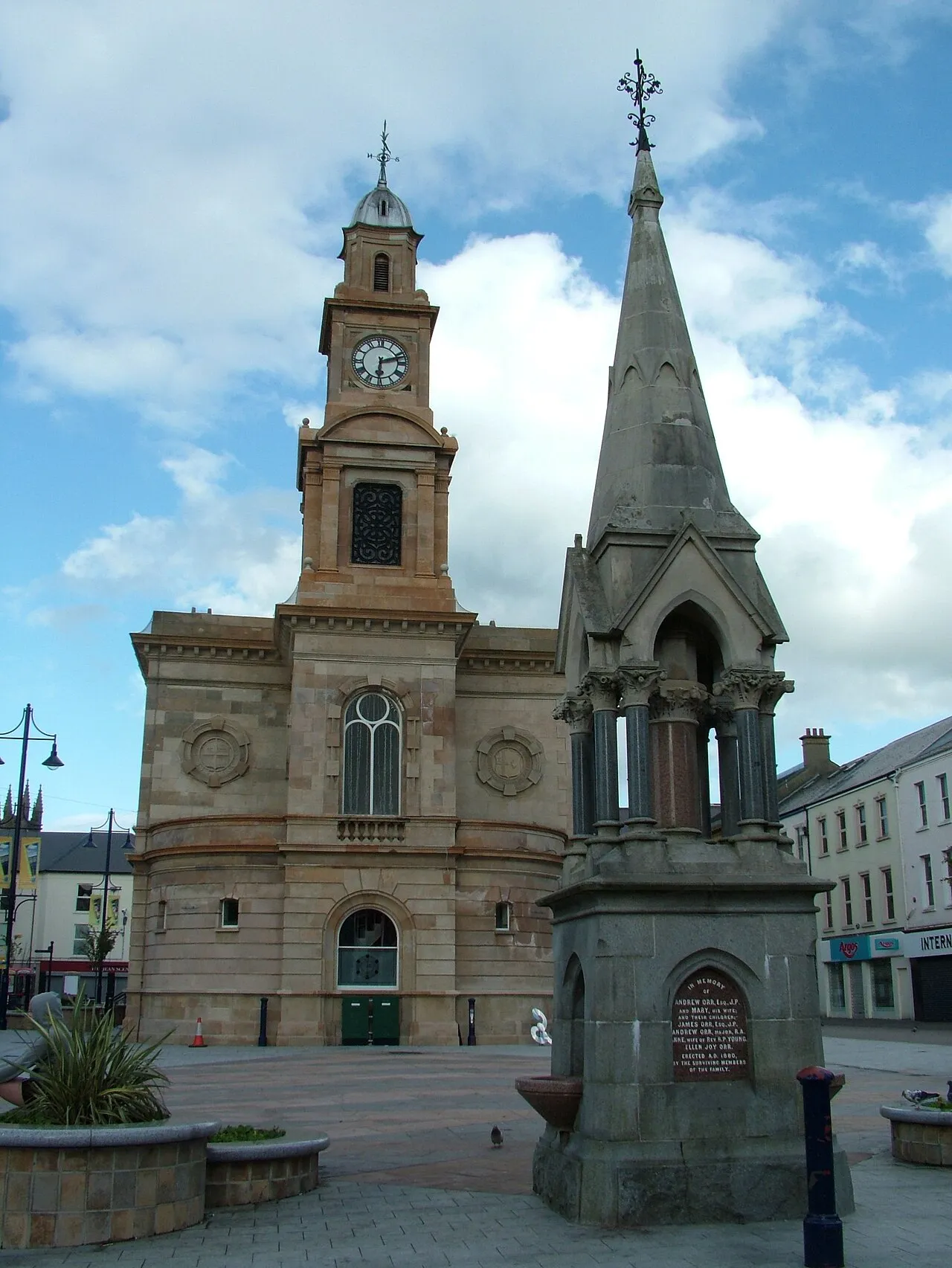
Coleraine ( kohl-RAYN; from Irish: Cúil Raithin [ˌkuːlʲ ˈɾˠahənʲ], 'nook of the ferns') is a market town and civil parish near the mouth of the River Bann in County Londonderry, Northern Ireland, of which it is the county town. It is 55 miles (89 km) north-west of Belfast and 30 miles (48 km) east of Derry, both of which are linked by major roads and railway connections. The town had a population of 24,483 people in the 2021 census.
Source: Wikipedia · CC BY-SA 4.0
Photos of Coleraine
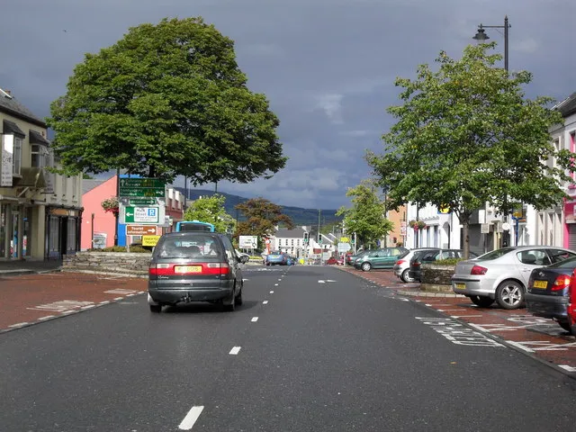
-

Michael Dibb · CC BY-SA 2.0 -
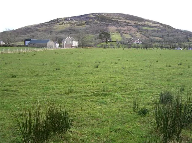
Keady Mountain Kenneth Allen · CC BY-SA 2.0 -
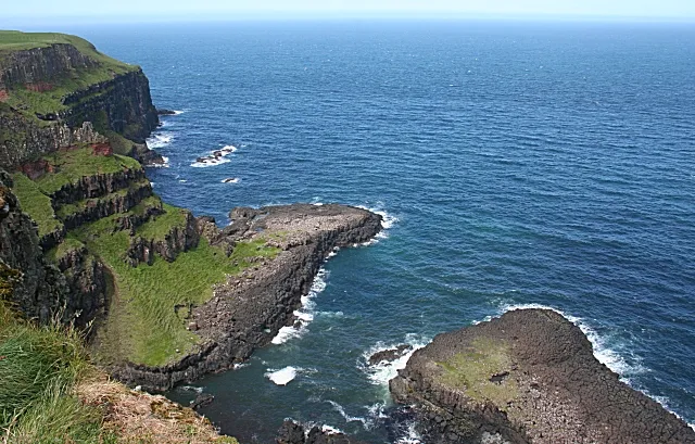
Bengore Head Anne Burgess · CC BY-SA 2.0 -
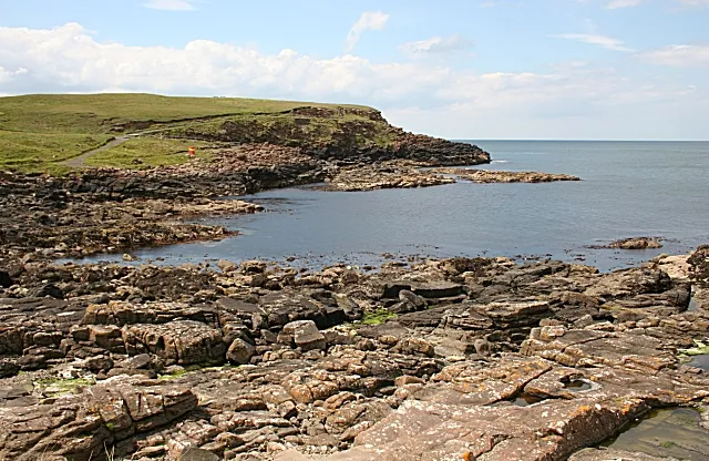
Ramore Head Anne Burgess · CC BY-SA 2.0


Travel notes for Coleraine
From Wikivoyage
Coleraine is a town in County Londonderry in Northern Ireland. Standing 55 miles northwest of Belfast, it's a transport hub and home to Ulster University. It has limited sights of its own but is within a few miles of major attractions along the Antrim coast.
Understand+
Coleraine in Irish is Cúil Rathain, "nook of the ferns." It grew up at a point where the river could be bridged but was navigable by small boats. It became a Plantation settlement from the 17th century, but remained a small provincial market town until the railways and industry arrived in the 19th century. Coleraine was, and is, predominantly Protestant: of the 13 people killed here during The Troubles, six elderly Protestants were killed by an IRA car bomb, four UVF terrorists were killed when their own bomb went off prematurely, and three were shot by loyalists.
In spite of that background, Coleraine was re-vitalised from 1970 when it became the main campus of the new Ulster University. This was seen by some as a Protestant poke in the eye for the academic claims of Derry, but that was a cramped city site, and the university had far more scope on the greenfield site north edge of town. This boosted the population to 24,600 by 2021, and it also made Coleraine one of the most affluent towns in Northern Ireland, with spiralling property prices.
The historic counties of Northern Ireland are no longer administrative units: Coleraine is now part of Causeway Coast and Glens Borough, who post visitor information online.
Get in+
By train:
Trains run hourly, daily from Belfast via Antrim (for International Airport) and Ballymena, taking 80 min to Coleraine. They continue to Castlerock and Derry (40 min) along a scenic coastal route. From Coleraine a connecting train runs hourly via Ulster University to Portrush (15 min).
1 Coleraine railway and bus station is 200 yards northeast of town centre.
2 University railway station is east side of the campus.
By bus:
Goldliner Bus 218 runs hourly from Belfast Laganside (not the main bus station) via Antrim, Ballymena, Cloughmills and Ballymoney, taking 1 hr 50 min.
Goldliner 234 runs from Derry via Eglinton (for Derry airport), Ballykelly, Limavady and Castlerock to Coleraine, with some continuing to the University campus. There are five M-Sa and two on Sunday. Ulsterbus 134 starts from Limavady.
Goldliner Bus 278 runs in university term-time, with one bus Su-F from Monaghan via Armagh, Moy, Dungannon, Cookstown, Magherafelt, Garvagh and Coleraine to Ulster University, Portstewart and Portrush.
Ulsterbus 140a runs a triangle from Coleraine to Portstewart, Portrush and back to Coleraine; 140b is the reverse triangle. It's every 20 min M-F, hourly Sa Su.
Bus 172 / 402 tours the scenic Antrim coast, running every 30 min from Coleraine to Portrush, Dunluce (for castle), Portballintrae, Bushmills (for distillery), Giant's Causeway, Ballintoy (for Carrick-a-Rede bridge) and Ballycastle (for ferries to Rathlin Island). The 172 runs direct to Bushmills bypassing Portrush, the routes are otherwise the same.
Bus 178 is an inland route from Ballycastle, with 4 M-Sa. It takes 80 min via Armoy (for Dark Hedges) and Ballymoney, so don't take it for the coastal attractions.
By road:
From Belfast follow M2 / A26 north past Ballymena, 60 miles. From Derry follow A2 / A37 via Limavady.
Source: Wikivoyage · CC BY-SA 4.0 · abridged
Climate of Coleraine
Best months for sightseeingBest months for sightseeing: June–August.
This month · November
A wet month
Day 10° · Night 5° · Rain 147 mm
- Hottest month
- July (day 18°)
- Coldest month
- February (night 3°)
- Wettest month
- January (150 mm)
- Driest month
- May (77 mm)
Bars: average monthly low and high temperature. Below: precipitation. Monthly averages for 1970–2000 at about 18 km resolution, adjusted for elevation. Highlighted months are mild and relatively dry. Source: WorldClim 2.1 (CC BY 4.0).
Show values as a table
| Month | Jan | Feb | Mar | Apr | May | Jun | Jul | Aug | Sep | Oct | Nov | Dec |
|---|---|---|---|---|---|---|---|---|---|---|---|---|
| Average high (°C) | 8° | 8° | 10° | 12° | 14° | 17° | 18° | 18° | 16° | 13° | 10° | 8° |
| Average low (°C) | 3° | 3° | 4° | 5° | 7° | 10° | 12° | 12° | 10° | 8° | 5° | 4° |
| Precipitation (mm) | 150 | 116 | 116 | 84 | 77 | 82 | 88 | 109 | 120 | 145 | 147 | 146 |
How to get to Coleraine
The nearest airport is City of Derry Airport (LDY), 33 km to the west as the crow flies. For international flights: Belfast International Airport (BFS) (60 km). The nearest large city is Belfast, 76 km to the southeast.
Airports
- City of Derry Airport (LDY) Derry, Derry and Strabane 33 kmwest
- Belfast International Airport (BFS) Belfast 60 kmsoutheast
- Islay Airport (ILY) Isle of Islay, Argyll and Bute 66 kmnortheast
Nearby large cities
- Belfast Population: 348K 76 kmsoutheast
- Glasgow Population: 626.4K 173 kmnortheast
- Dublin Population: 1M 202 kmsouth
- Edinburgh Population: 515K 237 kmnortheast
- Dundee Population: 148.2K 275 kmnortheast
Straight-line distances; road distances are longer. Airport data: OurAirports.
Day trips from Coleraine
Within 100 km: 82 historic and cultural sites, 782 natural sites, 479 lakes, rivers and coasts.
0–25 km48 places
- Portstewart Beach Beach 6 kmNW
- Benone Beach Beach 14 kmW
- Portstewart Strand Beach 7 kmNW
- The Skerries Island 10 kmN
25–60 km334 places
- Lisfannon Beach Beach 52 kmW
- Rathlin Island Island 34 kmNE
- Eilean Bhràidebig Island 56 kmNE
- Stookaruddan Island 47 kmNW
60–100 km961 places
- Island Roy Island 72 kmW
- West Maiden Island 63 kmE
- Texa Island Island 63 kmNE
- Sheep Island Island 72 kmE
Straight-line distances.
Nearby attractions & nature
Everything nearby-
The Diamond, Coleraine Historic site, Causeway Coast and Glens0.4 km SW
-
Ramore Head Natural site, Causeway Coast and Glens8.8 km N
-
Portstewart Beach Beach, Causeway Coast and Glens5.8 km NW
-
Sconce Hill Mountain, Causeway Coast and Glens8.3 km SW
-
Corbally Reservoir Lake, Causeway Coast and Glens6.7 km NE
-
Portrush Historic site, Causeway Coast and Glens7.9 km N
-
Portstewart Strand Beach, Causeway Coast and Glens7.5 km NW
-
Keady Mountain Mountain, Causeway Coast and Glens15 km SW
Other cities and towns in Causeway Coast and Glens
-
 Limavady Town, Causeway Coast and Glens20 km SW
-
Ballymoney Town, Causeway Coast and Glens12 km SE
-
Ballycastle Town, Causeway Coast and Glens28 km E
Sources & licences
Data last updated: · 2 independent sources