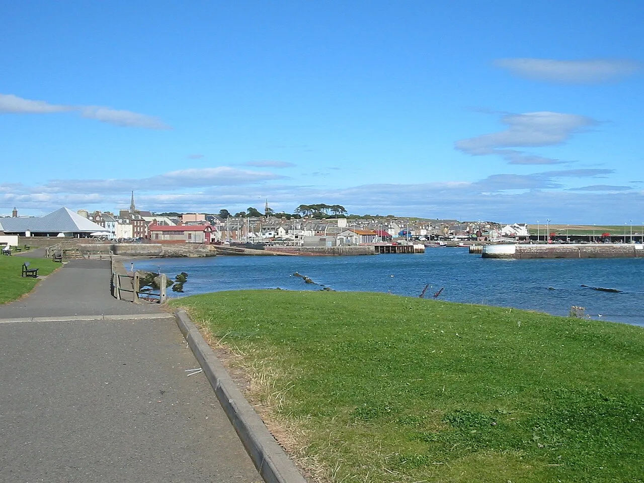
- Population
- 114,810
- 114.8K
- Elevation
- 69 m
- above sea level
- Local time
- UTC+00:00
- Europe/London · UTC+00:00
- Places inside
- 511
- listed under Angus
- Airports
- DND Dundee Airport25 km
- ABZ Aberdeen International Airport74 km
About Angus
Angus is a district. Location: Scotland, United Kingdom. Population: 114,810. The best months to visit are June–August. The nearest airport is Dundee Airport (25 km). Nearby sights include Strathmore and Tannadice Park.
Climate of Angus
Best months for sightseeingBest months for sightseeing: June–August.
This month · November
A cold month
Day 8° · Night 2° · Rain 83 mm
- Hottest month
- July (day 19°)
- Coldest month
- January (night 0°)
- Wettest month
- January (99 mm)
- Driest month
- April (54 mm)
Bars: average monthly low and high temperature. Below: precipitation. Monthly averages for 1970–2000 at about 18 km resolution, adjusted for elevation. Highlighted months are mild and relatively dry. Source: WorldClim 2.1 (CC BY 4.0).
Show values as a table
| Month | Jan | Feb | Mar | Apr | May | Jun | Jul | Aug | Sep | Oct | Nov | Dec |
|---|---|---|---|---|---|---|---|---|---|---|---|---|
| Average high (°C) | 6° | 6° | 8° | 11° | 15° | 17° | 19° | 19° | 16° | 12° | 8° | 6° |
| Average low (°C) | 0° | 0° | 1° | 3° | 6° | 8° | 10° | 10° | 8° | 5° | 2° | 1° |
| Precipitation (mm) | 99 | 65 | 69 | 54 | 63 | 58 | 58 | 68 | 77 | 95 | 83 | 84 |
How to get to Angus
The nearest airport is Dundee Airport (DND), 25 km to the south as the crow flies. For international flights: Aberdeen International Airport (ABZ) (74 km). The nearest large city is Dundee, 22 km to the south.
Airports
- Dundee Airport (DND) Dundee 25 kmsouth
- Aberdeen International Airport (ABZ) Aberdeen 74 kmnortheast
- Edinburgh Airport (EDI) Ingliston, Edinburgh 85 kmsouth
Nearby large cities
- Dundee Population: 148.2K 22 kmsouth
- Aberdeen Population: 198.6K 73 kmnortheast
- Edinburgh Population: 515K 81 kmsouth
- Glasgow Population: 626.4K 122 kmsouthwest
- Newcastle upon Tyne Population: 300.1K 205 kmsoutheast
Straight-line distances; road distances are longer. Airport data: OurAirports.
Places in Angus
511 placesCities & villages14
- Caldhame · Village
- Careston · Village
- Carmyllie · Village
- Cauldcots · Village
- Charleston · Village
- Clachnabrain · Village
- Cliffburn · Neighbourhood
- Clocksbriggs · Village
- Colliston · Village
- Cortachy · Village
- Craichie · Village
- Craigo · Village
- Craigton · Village
- Craigton · Village
Mountains & nature42
- Cairn of Gowal · Mountain
- Cairn of Gowal South Top · Mountain
- Cairn of Meadows · Mountain
- Cairny Hill · Mountain
- Carlingheugh Bay · Natural site
- Carlunie Hill · Mountain
- Carn Ait · Mountain
- Carn an Fhidhleir · Mountain
- Carroch Hill · Mountain
- Carrot Hill · Mountain
- Castlesea Bay · Natural site
- Cathelle Houses · Mountain
- Cat Law · Mountain
- Clune Hill · Mountain
- Cock Cairn · Mountain
- Conlawer Hill · Mountain
- Coremachy · Mountain
- Cormaud · Mountain
- Corwharn · Mountain
- Cowie Hill · Mountain
- Craigancash · Mountain
- Craigangowan · Mountain
- Craigangower · Mountain
- Craig Crane · Mountain
- Craig Damff · Mountain
- Craig Duchrey · Mountain
- Craigend · Mountain
- Craigieloch · Mountain
- Craigie Thieves · Mountain
- Craig Lair · Mountain
- Craiglea Hill · Mountain
- Craig Maskeldie · Mountain
- Craig Mellon · Mountain
- Craig of Camlet · Mountain
- Craig of Dalhastnie · Mountain
- Craig of Gowal · Mountain
- Craigowl Hill · Mountain
- Craig Soales · Mountain
- Craigs of Lethnot · Mountain
- Craigs of Loch Esk · Mountain
- Craigs of Loch Wharral · Mountain
- Crams Hill · Mountain
Lakes, rivers & coasts3
- Capel Burn · River
- Carity Burn · River
- Cramie Burn · River
Heritage & sights1
- Clova Kirk · Attraction
Nearby attractions & nature
Everything nearby-
Strathmore Natural site, Scotland5.4 km W
-
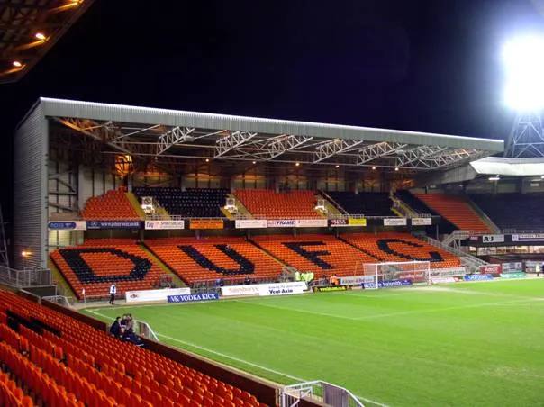 Tannadice Park Landmark, Dundee City22 km S
-
 Dens Park Landmark, Dundee City22 km S
-
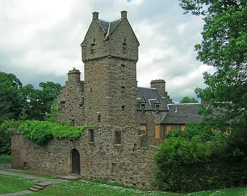 Mains Castle Historic site, Dundee City20 km S
-
Dean Water River, Scotland17 km SW
-
Hill of Alyth Mountain, Perth and Kinross20 km W
Sources & licences
Data last updated: