- Local time
- UTC+00:00
- Europe/London · UTC+00:00
- Airports
- CAL Campbeltown Airport44 km
- PIK Glasgow Prestwick Airport51 km
About Buteshire
Buteshire is a municipality. Location: Argyll and Bute, Scotland. The best months to visit are June–August. The nearest airport is Campbeltown Airport (44 km). Nearby sights include An Scriodan and Glen Chalmadale.
Climate of Buteshire
Best months for sightseeingBest months for sightseeing: June–August.
This month · November
A wet month
Day 10° · Night 5° · Rain 182 mm
- Hottest month
- July (day 18°)
- Coldest month
- February (night 3°)
- Wettest month
- January (201 mm)
- Driest month
- May (85 mm)
Bars: average monthly low and high temperature. Below: precipitation. Monthly averages for 1970–2000 at about 18 km resolution, adjusted for elevation. Highlighted months are mild and relatively dry. Source: WorldClim 2.1 (CC BY 4.0).
Show values as a table
| Month | Jan | Feb | Mar | Apr | May | Jun | Jul | Aug | Sep | Oct | Nov | Dec |
|---|---|---|---|---|---|---|---|---|---|---|---|---|
| Average high (°C) | 7° | 7° | 8° | 11° | 14° | 16° | 18° | 17° | 15° | 12° | 10° | 8° |
| Average low (°C) | 3° | 3° | 3° | 5° | 7° | 9° | 11° | 11° | 10° | 7° | 5° | 3° |
| Precipitation (mm) | 201 | 127 | 156 | 92 | 85 | 93 | 107 | 126 | 161 | 175 | 182 | 192 |
How to get to Buteshire
The nearest airport is Campbeltown Airport (CAL), 44 km to the southwest as the crow flies. For international flights: Glasgow Prestwick Airport (PIK) (51 km). The nearest large city is Glasgow, 64 km to the east.
Airports
- Campbeltown Airport (CAL) Campbeltown 44 kmsouthwest
- Glasgow Prestwick Airport (PIK) Prestwick, South Ayrshire 51 kmsoutheast
- Glasgow Airport (GLA) Glasgow 53 kmeast
Nearby large cities
- Glasgow Population: 626.4K 64 kmeast
- Edinburgh Population: 515K 131 kmeast
- Belfast Population: 348K 135 kmsouth
- Dundee Population: 148.2K 163 kmnortheast
- Newcastle upon Tyne Population: 300.1K 246 kmeast
Straight-line distances; road distances are longer. Airport data: OurAirports.
Nearby attractions & nature
Everything nearby-
An Scriodan Natural site, Scotland3.9 km S
-
Glen Chalmadale Natural site, Scotland5.6 km S
-
Torr Meadhonach Mountain, North Ayrshire4.4 km S
-
Loch Ranza Natural site, North Ayrshire4.9 km SW
-
Skipness River River, Argyll and Bute6.3 km W
-
Creag Ghlas Laggan Mountain, North Ayrshire6 km S
-
Catacol Bay Natural site, Scotland9.1 km SW
-
Cnoc na Meine Mountain, Argyll and Bute7.2 km NW
Other cities and towns in Argyll and Bute
-
Isle of Bute Town, Argyll and Bute16 km NE
-
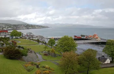 Dunoon Town, Argyll and Bute30 km NE
-
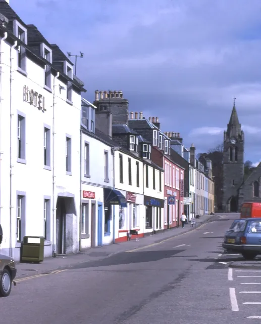 Lochgilphead City, Argyll and Bute34 km N
-
Helensburgh Town, Argyll and Bute43 km NE
-
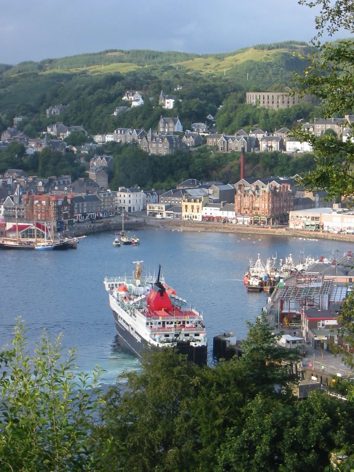 Oban Town, Argyll and Bute75 km N
-
Argyllshire Municipality, Argyll and Bute56 km N
Sources & licences
Data last updated: