- Population
- 2,390
- 2.4K
- Elevation
- 8 m
- above sea level
- Local time
- UTC+00:00
- Europe/London · UTC+00:00
- Airports
- GLA Glasgow Airport65 km
- ILY Islay Airport65 km
About Lochgilphead
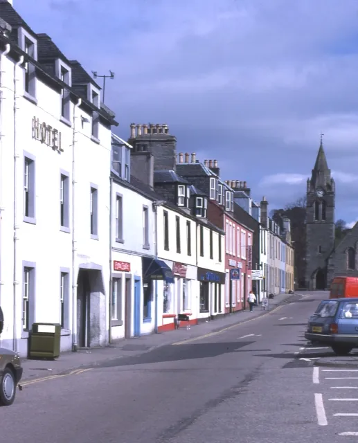
Lochgilphead is a city. Location: Argyll and Bute, Scotland. Population: 2,390. Elevation: 8 m.
Lochgilphead (; Scottish Gaelic: Ceann Loch Gilb [kʲʰan̪ˠ l̪ˠɔx ˈkʲilip]) is a town and former burgh in Argyll and Bute, Scotland, with a population of around 2,300 people. It is the administrative centre of Argyll and Bute Council. The village lies at the end of Loch Gilp (a branch of Loch Fyne) and lies on the banks of the Crinan Canal. Lochgilphead sits on the A83, with Ardrishaig 2 miles (3 km) to the south and Inveraray 24 miles (39 km) to the north-east; Oban lies 37 miles (60 km) north on the A816.
Source: Wikipedia · CC BY-SA 4.0
At a glance
- Built
- 1790
Source: Wikidata
Climate of Lochgilphead
Best months for sightseeingBest months for sightseeing: June–August.
This month · November
A wet month
Day 10° · Night 6° · Rain 187 mm
- Hottest month
- July (day 18°)
- Coldest month
- February (night 3°)
- Wettest month
- January (204 mm)
- Driest month
- May (82 mm)
Bars: average monthly low and high temperature. Below: precipitation. Monthly averages for 1970–2000 at about 18 km resolution, adjusted for elevation. Highlighted months are mild and relatively dry. Source: WorldClim 2.1 (CC BY 4.0).
Show values as a table
| Month | Jan | Feb | Mar | Apr | May | Jun | Jul | Aug | Sep | Oct | Nov | Dec |
|---|---|---|---|---|---|---|---|---|---|---|---|---|
| Average high (°C) | 8° | 8° | 9° | 12° | 15° | 17° | 18° | 18° | 16° | 13° | 10° | 8° |
| Average low (°C) | 4° | 3° | 4° | 5° | 8° | 10° | 12° | 12° | 10° | 8° | 6° | 4° |
| Precipitation (mm) | 204 | 126 | 154 | 95 | 82 | 89 | 108 | 127 | 168 | 184 | 187 | 191 |
How to get to Lochgilphead
The nearest airport is Glasgow Airport (GLA), 65 km to the east as the crow flies. The nearest large city is Glasgow, 76 km to the east.
Airports
- Glasgow Airport (GLA) Glasgow 65 kmeast
- Islay Airport (ILY) Isle of Islay, Argyll and Bute 65 kmsouthwest
- Campbeltown Airport (CAL) Campbeltown 69 kmsouth
Nearby large cities
- Glasgow Population: 626.4K 76 kmeast
- Edinburgh Population: 515K 140 kmeast
- Dundee Population: 148.2K 160 kmeast
- Belfast Population: 348K 163 kmsouth
- Aberdeen Population: 198.6K 239 kmnortheast
Straight-line distances; road distances are longer. Airport data: OurAirports.
Nearby attractions & nature
Everything nearby-
Cnoc Mor Mountain, Argyll and Bute1.5 km NE
-
Barr na Circe Mountain, Argyll and Bute1.9 km SE
-
An Torr Mountain, Argyll and Bute2.4 km E
-
Achnabreac Natural site, Argyll and Bute2.6 km N
-
Dun na Maraig Mountain, Argyll and Bute2.8 km NW
-
Loch Gilp Natural site, Argyll and Bute2.3 km S
-
Cruach an Earbaige Mountain, Argyll and Bute3.5 km NE
-
Cruach a' Cham Loch Mountain, Argyll and Bute3.7 km W
Other cities and towns in Argyll and Bute
-
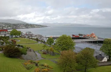 Dunoon Town, Argyll and Bute33 km E
-
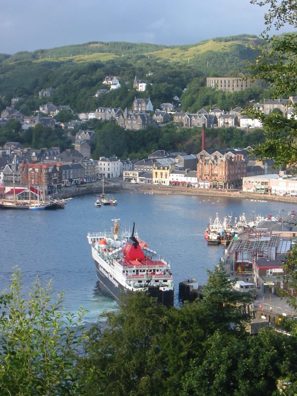 Oban Town, Argyll and Bute42 km N
-
Isle of Bute Town, Argyll and Bute32 km SE
-
Helensburgh Town, Argyll and Bute44 km E
-
Argyllshire Municipality, Argyll and Bute26 km NE
-
Buteshire Municipality, Argyll and Bute34 km S
Sources & licences
Data last updated: · 2 independent sources