- Local time
- UTC+00:00
- Europe/London · UTC+00:00
- Airports
- ILY Islay Airport63 km
- GLA Glasgow Airport65 km
About Loch Gilp
Loch Gilp is a natural site. Location: Argyll and Bute, Scotland. The best months to visit are June–August. The nearest airport is Islay Airport (63 km). Nearby sights include Barr na Circe and An Torr.
Climate of Loch Gilp
Best months for sightseeingBest months for sightseeing: June–August.
This month · November
A wet month
Day 9° · Night 5° · Rain 187 mm
- Hottest month
- July (day 17°)
- Coldest month
- February (night 3°)
- Wettest month
- January (204 mm)
- Driest month
- May (82 mm)
Bars: average monthly low and high temperature. Below: precipitation. Monthly averages for 1970–2000 at about 18 km resolution, adjusted for elevation. Highlighted months are mild and relatively dry. Source: WorldClim 2.1 (CC BY 4.0).
Show values as a table
| Month | Jan | Feb | Mar | Apr | May | Jun | Jul | Aug | Sep | Oct | Nov | Dec |
|---|---|---|---|---|---|---|---|---|---|---|---|---|
| Average high (°C) | 7° | 7° | 8° | 11° | 14° | 16° | 17° | 17° | 15° | 12° | 9° | 7° |
| Average low (°C) | 3° | 3° | 3° | 5° | 7° | 10° | 12° | 11° | 10° | 7° | 5° | 3° |
| Precipitation (mm) | 204 | 126 | 154 | 95 | 82 | 89 | 108 | 127 | 168 | 184 | 187 | 191 |
How to get to Loch Gilp
The nearest airport is Islay Airport (ILY), 63 km to the southwest as the crow flies. For international flights: Glasgow Airport (GLA) (65 km). The nearest large city is Glasgow, 76 km to the east.
Airports
- Islay Airport (ILY) Isle of Islay, Argyll and Bute 63 kmsouthwest
- Glasgow Airport (GLA) Glasgow 65 kmeast
- Campbeltown Airport (CAL) Campbeltown 66 kmsouth
Nearby large cities
- Glasgow Population: 626.4K 76 kmeast
- Edinburgh Population: 515K 140 kmeast
- Dundee Population: 148.2K 161 kmeast
- Belfast Population: 348K 161 kmsouth
- Aberdeen Population: 198.6K 240 kmnortheast
Straight-line distances; road distances are longer. Airport data: OurAirports.
Day trips from Loch Gilp
Within 100 km: 106 historic and cultural sites, 2,857 natural sites, 1,227 lakes, rivers and coasts.
0–25 km528 places
- Cala Island 11 kmW
- Shuna Island 24 kmNW
- Eilean Mòr Island 24 kmNW
- Eilean Mór Island 22 kmSW
25–60 km1,563 places
- Isle of Arran Island 48 kmS
- Great Cumbrae Island Island 43 kmSE
- Colonsay Island 49 kmW
- Hunterston Sands Beach 47 kmSE
60–100 km2,099 places
- Ayr Beach Beach 80 kmSE
- Troon Beach Beach 72 kmSE
- Oronsay Island 78 kmNW
- Ulva Island 72 kmNW
Straight-line distances.
Nearest towns and villages
-
Ardrishaig Village, Argyll and Bute0.7 km W
-
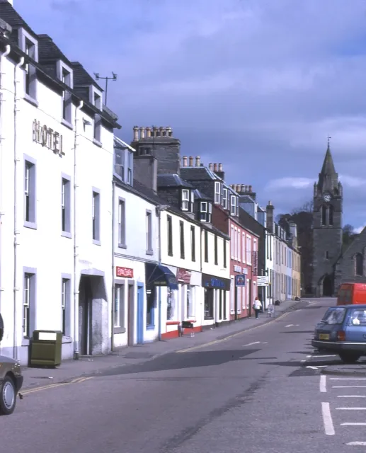 Lochgilphead City, Argyll and Bute2.3 km N
-
Kilmory Village, Argyll and Bute1.3 km E
-
Castleton Village, Argyll and Bute2.5 km E
-
Achnaba Village, Argyll and Bute4.4 km E
-
Port Ann Village, Argyll and Bute4.8 km E
Nearby attractions & nature
Everything nearby-
Barr na Circe Mountain, Argyll and Bute2.5 km NE
-
An Torr Mountain, Argyll and Bute3.3 km NE
-
Heather Island Island, Argyll and Bute2.9 km SE
-
The Barr Mountain, Argyll and Bute3.6 km E
-
Eilean Mor Island, Argyll and Bute3.1 km SE
-
Cnoc Mor Mountain, Argyll and Bute3.7 km N
-
Silver Craigs Mountain, Argyll and Bute3.7 km E
-
Cruach Brenfield Mountain, Argyll and Bute3.8 km SW
Sources & licences
Data last updated: