Kilchurn Castle
Located in Argyll and Bute, Scotland Coordinates: 56°24′00″ N 5°01′00″ W
- Local time
- UTC+00:00
- Europe/London · UTC+00:00
- Elevation
- 65 m
- above sea level
- Airports
- GLA Glasgow Airport69 km
- PIK Glasgow Prestwick Airport104 km
About Kilchurn Castle
Kilchurn Castle is a historic site. Location: Argyll and Bute, Scotland. The best months to visit are June–August. The nearest airport is Glasgow Airport (69 km). Nearby sights include River Strae and Dun Athaich.
Photos of Kilchurn Castle
-
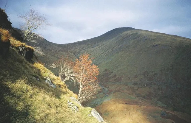
Beinn Eunaich Richard Webb · CC BY-SA 2.0 -
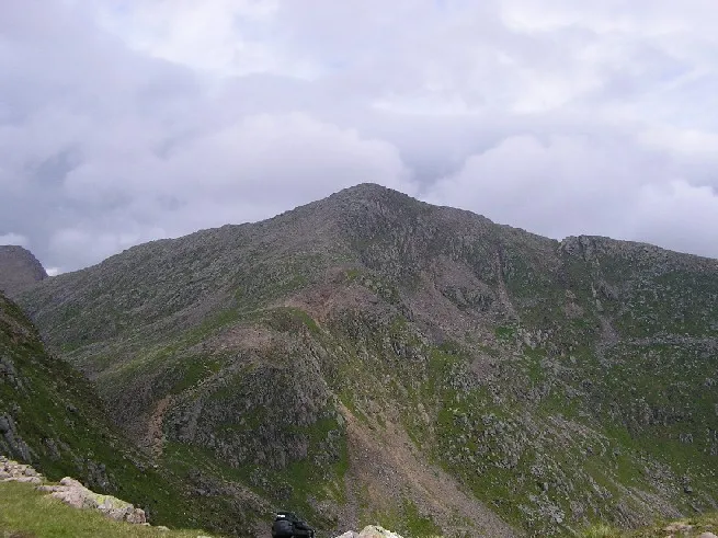
Ben Cruachan The original uploader was Grinner at English Wikipedia · CC BY-SA 3.0 -
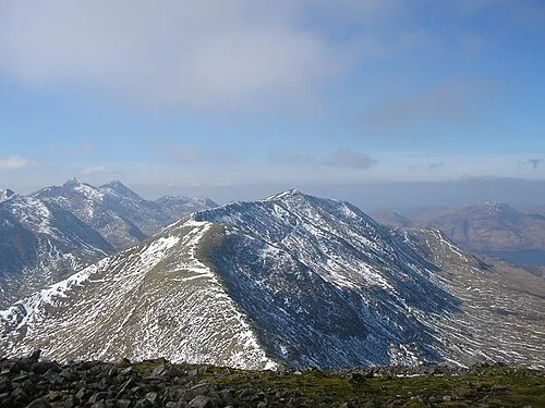
Beinn a' Chochuill Graham Lewis · CC BY 2.0 -
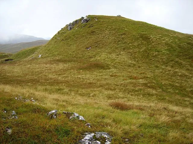
Beinn Bhalgairean Richard Webb · CC BY-SA 2.0 -
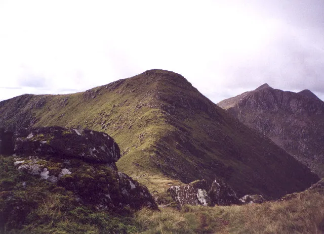
Stob Diamh bill copland · CC BY-SA 2.0


Climate of Kilchurn Castle
Best months for sightseeingBest months for sightseeing: June–August.
This month · November
A wet month
Day 9° · Night 4° · Rain 213 mm
- Hottest month
- July (day 18°)
- Coldest month
- February (night 2°)
- Wettest month
- January (230 mm)
- Driest month
- May (96 mm)
Bars: average monthly low and high temperature. Below: precipitation. Monthly averages for 1970–2000 at about 18 km resolution, adjusted for elevation. Highlighted months are mild and relatively dry. Source: WorldClim 2.1 (CC BY 4.0).
Show values as a table
| Month | Jan | Feb | Mar | Apr | May | Jun | Jul | Aug | Sep | Oct | Nov | Dec |
|---|---|---|---|---|---|---|---|---|---|---|---|---|
| Average high (°C) | 7° | 7° | 8° | 11° | 14° | 16° | 18° | 18° | 15° | 12° | 9° | 7° |
| Average low (°C) | 2° | 2° | 3° | 4° | 7° | 10° | 11° | 11° | 10° | 7° | 4° | 2° |
| Precipitation (mm) | 230 | 150 | 171 | 105 | 96 | 98 | 115 | 137 | 185 | 211 | 213 | 216 |
How to get to Kilchurn Castle
The nearest airport is Glasgow Airport (GLA), 69 km to the southeast as the crow flies. The nearest large city is Glasgow, 76 km to the southeast.
Airports
- Glasgow Airport (GLA) Glasgow 69 kmsoutheast
- Glasgow Prestwick Airport (PIK) Prestwick, South Ayrshire 104 kmsouth
- Islay Airport (ILY) Isle of Islay, Argyll and Bute 111 kmsouthwest
Nearby large cities
- Glasgow Population: 626.4K 76 kmsoutheast
- Edinburgh Population: 515K 124 kmsoutheast
- Dundee Population: 148.2K 126 kmeast
- Aberdeen Population: 198.6K 197 kmnortheast
- Belfast Population: 348K 209 kmsouth
Straight-line distances; road distances are longer. Airport data: OurAirports.
Day trips from Kilchurn Castle
Within 100 km: 111 historic and cultural sites, 4,160 natural sites, 1,374 lakes, rivers and coasts.
0–25 km453 places
- Inishail Island 6 kmSW
- Fraoch Eilean Island 3 kmSW
- Island I Vow Island 24 kmSE
- Sgeir Dubh Island 24 kmNW
25–60 km2,060 places
- Scarba Island 50 kmSW
- Eriska Island 28 kmNW
- Cala Island 57 kmSW
- Torsa Island Island 40 kmSW
60–100 km3,132 places
- Isle of Arran Island 90 kmS
- Great Cumbrae Island Island 71 kmS
- Colonsay Island 83 kmSW
- Eigg Island 90 kmNW
Straight-line distances.
Nearby attractions & nature
Everything nearby-
River Strae River, Argyll and Bute<0.1 km N
-
Dun Athaich Mountain, Argyll and Bute1.4 km SE
-
Eilean na Feusaige Island, Argyll and Bute1.1 km NE
-
Eilean a' Phortair Island, Argyll and Bute2.2 km E
-
Monadh Driseig Mountain, Argyll and Bute2.8 km W
-
Fraoch Eilean Island, Argyll and Bute2.8 km SW
-
Allt Mhoille River, Argyll and Bute1.9 km N
-
Glen Strae Natural site, Argyll and Bute4.2 km NE
Nearest towns and villages
-
Lochawe Village, Argyll and Bute1.7 km W
-
Stronmilchan Village, Argyll and Bute2 km NE
-
Dalmally Village, Argyll and Bute2.7 km E
-
Edendonich Village, Argyll and Bute2.7 km NE
More sights in Argyll and Bute
-
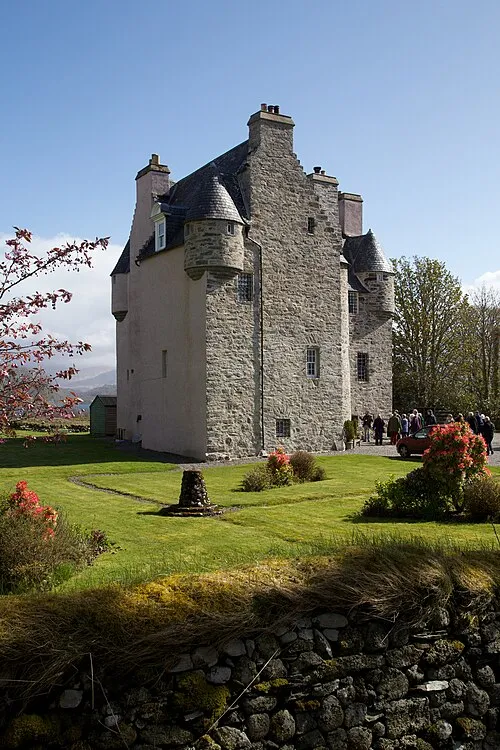 Barcaldine Castle Historic site, Argyll and Bute27 km NW
-
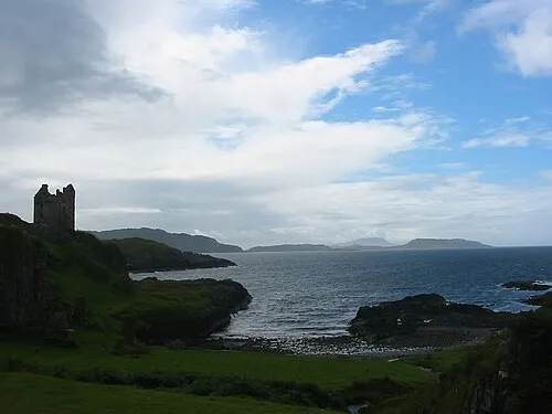 Gylen Castle Historic site, Argyll and Bute33 km W
-
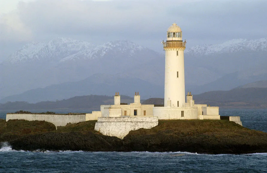 Lismore Lighthouse Landmark, Argyll and Bute37 km W
-
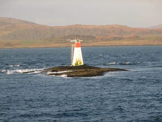 Lady's Rock Lighthouse Landmark, Argyll and Bute37 km W
-
Dùn Bachlach Historic site, Argyll and Bute29 km W
-
Tirefour Castle Historic site, Argyll and Bute31 km NW
Sources & licences
Data last updated: