Sanda Island Lighthouse
Located in Argyll and Bute, Scotland Coordinates: 55°16′29″ N 5°34′58″ W
- Local time
- UTC+00:00
- Europe/London · UTC+00:00
- Elevation
- 3 m
- above sea level
- Airports
- CAL Campbeltown Airport19 km
- ILY Islay Airport62 km
About Sanda Island Lighthouse
Sanda Island Lighthouse is a landmark. Location: Argyll and Bute, Scotland.
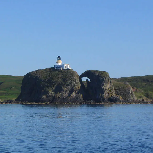
The Sanda Island Lighthouse is a lighthouse on Sanda Island, Argyll and Bute, United Kingdom. One of the thirteen major lighthouses designed and built by Alan Stevenson, the lighthouse was established in 1850, after a series of shipwrecks in the area. The three "steps" of the lighthouse were due to the cliff on which it was built, and remain a unique design in Scotland. Automated in 1991, the lighthouse is operated by the Northern Lighthouse Board, and designated a Category A listed building.
Source: Wikipedia · CC BY-SA 4.0
At a glance
- Built
- 1850
- Heritage designation
- category A listed building
- Height
- 15 m
Source: Wikidata
Photos of Sanda Island Lighthouse
-

Rude Health · CC BY-SA 2.0 -

Odd Wellies · CC BY 2.0 -

Steve Partridge · CC BY-SA 2.0


Climate of Sanda Island Lighthouse
Best months for sightseeingBest months for sightseeing: June–August.
This month · November
A wet month
Day 10° · Night 5° · Rain 119 mm
- Hottest month
- August (day 18°)
- Coldest month
- February (night 3°)
- Wettest month
- January (125 mm)
- Driest month
- May (53 mm)
Bars: average monthly low and high temperature. Below: precipitation. Monthly averages for 1970–2000 at about 18 km resolution, adjusted for elevation. Highlighted months are mild and relatively dry. Source: WorldClim 2.1 (CC BY 4.0).
Show values as a table
| Month | Jan | Feb | Mar | Apr | May | Jun | Jul | Aug | Sep | Oct | Nov | Dec |
|---|---|---|---|---|---|---|---|---|---|---|---|---|
| Average high (°C) | 8° | 8° | 9° | 12° | 14° | 17° | 18° | 18° | 16° | 13° | 10° | 8° |
| Average low (°C) | 3° | 3° | 3° | 5° | 7° | 9° | 11° | 11° | 10° | 8° | 5° | 4° |
| Precipitation (mm) | 125 | 83 | 93 | 61 | 53 | 63 | 74 | 87 | 100 | 118 | 119 | 119 |
How to get to Sanda Island Lighthouse
The nearest airport is Campbeltown Airport (CAL), 19 km to the north as the crow flies. For international flights: Glasgow Prestwick Airport (PIK) (69 km). The nearest large city is Belfast, 79 km to the south.
Airports
- Campbeltown Airport (CAL) Campbeltown 19 kmnorth
- Islay Airport (ILY) Isle of Islay, Argyll and Bute 62 kmnorthwest
- Glasgow Prestwick Airport (PIK) Prestwick, South Ayrshire 69 kmeast
Nearby large cities
- Belfast Population: 348K 79 kmsouth
- Glasgow Population: 626.4K 106 kmnortheast
- Edinburgh Population: 515K 168 kmnortheast
- Dundee Population: 148.2K 211 kmnortheast
- Dublin Population: 1M 220 kmsouth
Straight-line distances; road distances are longer. Airport data: OurAirports.
Day trips from Sanda Island Lighthouse
Within 100 km: 92 historic and cultural sites, 1,607 natural sites, 674 lakes, rivers and coasts.
0–25 km75 places
- Sheep Island Island 2 kmN
- Sanda Island Island 1 kmN
- Island Davaar Island 17 kmN
- Glunimore Island Island 2 kmNE
25–60 km508 places
- Isle of Arran Island 42 kmNE
- West Maiden Island 40 kmS
- Texa Island Island 52 kmNW
- Sheep Island Island 49 kmW
60–100 km1,790 places
- Great Cumbrae Island Island 69 kmNE
- Colonsay Island 97 kmNW
- Ayr Beach Beach 63 kmE
- Troon Beach Beach 65 kmNE
Straight-line distances.
Nearby attractions & nature
Everything nearby-
Prince Edward's Rock Mountain, Argyll and Bute<0.1 km W
-
Beinn a' Theine Mountain, Argyll and Bute0.8 km N
-
Sanda Island Island, Argyll and Bute0.7 km N
-
Sheep Island Island, Argyll and Bute2 km N
-
Glunimore Island Island, Argyll and Bute2.1 km NE
-
Creagach Leac Mountain, Argyll and Bute5.4 km N
-
Keil Hill Mountain, Argyll and Bute6.7 km NW
-
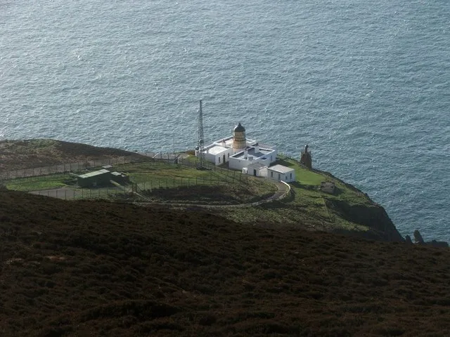 Mull of Kintyre Lighthouse Landmark, Argyll and Bute15 km W
Nearest towns and villages
-
Southend Village, Argyll and Bute5.7 km NW
-
High Keil Village, Argyll and Bute6.4 km NW
-
Carskey Village, Argyll and Bute8.3 km NW
-
Campbeltown Village, Argyll and Bute17 km N
More sights in Argyll and Bute
-
Lorne & Lowland Parish Church Attraction, Argyll and Bute17 km N
-
Springbank Evangelical Church Attraction, Argyll and Bute17 km N
-
Tangy Loch Castle Historic site, Argyll and Bute24 km N
-
Saddell Abbey Historic site, Argyll and Bute29 km N
-
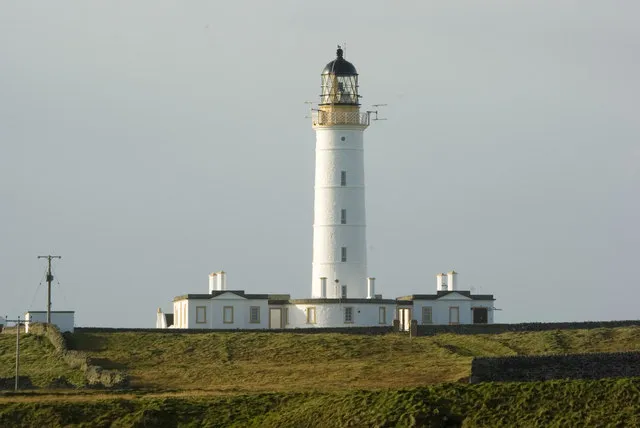 Orsay Lighthouse Landmark, Argyll and Bute74 km NW
-
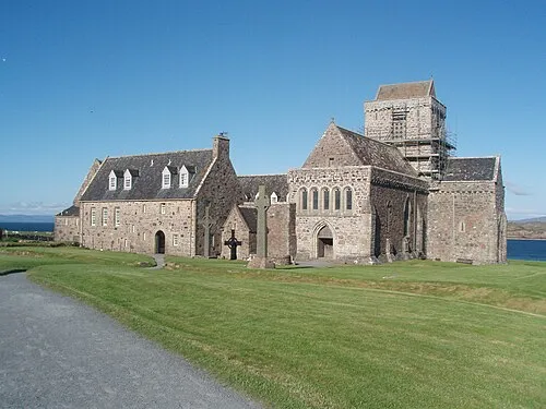 Iona Abbey Attraction, Argyll and Bute129 km NW
Sources & licences
Data last updated: · 2 independent sources