- Elevation
- 52 m
- above sea level
- Local time
- UTC+00:00
- Europe/London · UTC+00:00
- Airports
- PIK Glasgow Prestwick Airport14 km
- GLA Glasgow Airport29 km
About Craufurdland Water
Craufurdland Water is a river. Location: Scotland, United Kingdom. The best months to visit are June–August. The nearest airport is Glasgow Prestwick Airport (14 km). Nearby sights include Rugby Park and Cessnock Water.
Climate of Craufurdland Water
Best months for sightseeingBest months for sightseeing: June–August.
This month · November
A wet month
Day 9° · Night 3° · Rain 135 mm
- Hottest month
- July (day 18°)
- Coldest month
- January (night 1°)
- Wettest month
- October (139 mm)
- Driest month
- April (63 mm)
Bars: average monthly low and high temperature. Below: precipitation. Monthly averages for 1970–2000 at about 18 km resolution, adjusted for elevation. Highlighted months are mild and relatively dry. Source: WorldClim 2.1 (CC BY 4.0).
Show values as a table
| Month | Jan | Feb | Mar | Apr | May | Jun | Jul | Aug | Sep | Oct | Nov | Dec |
|---|---|---|---|---|---|---|---|---|---|---|---|---|
| Average high (°C) | 6° | 7° | 8° | 11° | 14° | 16° | 18° | 18° | 15° | 12° | 9° | 7° |
| Average low (°C) | 1° | 1° | 2° | 3° | 6° | 9° | 11° | 10° | 9° | 6° | 3° | 2° |
| Precipitation (mm) | 132 | 94 | 104 | 63 | 66 | 66 | 75 | 92 | 122 | 139 | 135 | 130 |
How to get to Craufurdland Water
The nearest airport is Glasgow Prestwick Airport (PIK), 14 km to the southwest as the crow flies. The nearest large city is Glasgow, 31 km to the northeast.
Airports
- Glasgow Prestwick Airport (PIK) Prestwick, South Ayrshire 14 kmsouthwest
- Glasgow Airport (GLA) Glasgow 29 kmnorth
- Campbeltown Airport (CAL) Campbeltown 79 kmwest
Nearby large cities
- Glasgow Population: 626.4K 31 kmnortheast
- Edinburgh Population: 515K 89 kmnortheast
- Dundee Population: 148.2K 134 kmnortheast
- Belfast Population: 348K 146 kmsouthwest
- Newcastle upon Tyne Population: 300.1K 196 kmeast
Straight-line distances; road distances are longer. Airport data: OurAirports.
Day trips from Craufurdland Water
Within 100 km: 167 historic and cultural sites, 3,417 natural sites, 1,064 lakes, rivers and coasts.
0–25 km119 places
- Ayr Beach Beach 20 kmSW
- Troon Beach Beach 14 kmSW
- Horse Isle Island 23 kmW
- Nether Tarrioch Holm Island 23 kmSE
25–60 km1,211 places
- Isle of Arran Island 48 kmW
- Great Cumbrae Island Island 32 kmNW
- Hunterston Sands Beach 29 kmNW
- Pladda Island 45 kmSW
60–100 km3,318 places
- Powillimount Beach Beach 99 kmSE
- Burntisland Beach Beach 93 kmNE
- Cramond beach Beach 85 kmNE
- Portobello Beach Beach 94 kmNE
Straight-line distances.
Nearest towns and villages
-
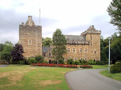 Kilmarnock City, East Ayrshire1 km SW
-
New Farm Loch Neighbourhood, East Ayrshire0.4 km NE
-
Beansburn Neighbourhood, East Ayrshire0.6 km NW
-
Hillhead Neighbourhood, East Ayrshire0.7 km W
-
Kilmaurs Village, East Ayrshire3.6 km NW
-
Longpark Neighbourhood, East Ayrshire0.7 km NW
Nearby attractions & nature
Everything nearby-
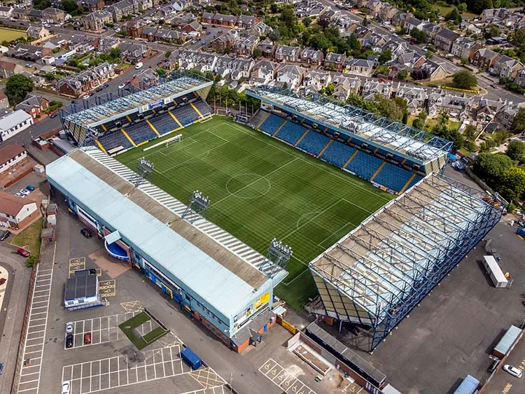 Rugby Park Landmark, East Ayrshire2.1 km SW
-
Cessnock Water River, Scotland4.6 km SE
-
Craigie Hill Mountain, South Ayrshire6.3 km S
-
Carmel Water River, Scotland7.6 km W
-
Polbaith Burn River, Scotland5.3 km E
-
Dundonald Castle Mountain, South Ayrshire8.4 km SW
-
Sornhill Mountain, East Ayrshire8.4 km SE
-
Drumboy Hill Mountain, East Ayrshire11 km NE
More lakes, rivers and coasts in United Kingdom
-
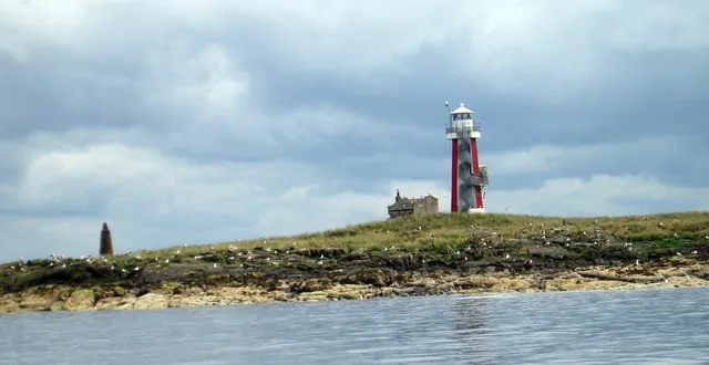 Lady Isle Island, South Ayrshire19 km SW
-
Annick Water River, Scotland11 km W
-
Lochgoin Reservoir Lake, Scotland13 km NE
-
River Garnock River, Scotland13 km W
-
Glazert Burn River, Scotland6.4 km NW
-
Bennan Loch Reservoir Lake, Scotland14 km NE
Sources & licences
Data last updated: