- Elevation
- 96 m
- above sea level
- Local time
- UTC+00:00
- Europe/London · UTC+00:00
- Airports
- PIK Glasgow Prestwick Airport88 km
- EDI Edinburgh Airport108 km
About Ward Law
Ward Law is a mountain. Location: Dumfries and Galloway, Scotland. Elevation: 96 m. The best months to visit are June–August. The nearest airport is Glasgow Prestwick Airport (88 km). Nearby sights include Highmains Hill and Caerlaverock Castle.
Climate of Ward Law
Best months for sightseeingBest months for sightseeing: June–August.
This month · November
A wet month
Day 9° · Night 3° · Rain 121 mm
- Hottest month
- July (day 18°)
- Coldest month
- January (night 1°)
- Wettest month
- January (130 mm)
- Driest month
- April (62 mm)
Bars: average monthly low and high temperature. Below: precipitation. Monthly averages for 1970–2000 at about 18 km resolution, adjusted for elevation. Highlighted months are mild and relatively dry. Source: WorldClim 2.1 (CC BY 4.0).
Show values as a table
| Month | Jan | Feb | Mar | Apr | May | Jun | Jul | Aug | Sep | Oct | Nov | Dec |
|---|---|---|---|---|---|---|---|---|---|---|---|---|
| Average high (°C) | 6° | 7° | 8° | 11° | 14° | 17° | 18° | 18° | 15° | 12° | 9° | 7° |
| Average low (°C) | 1° | 1° | 2° | 4° | 6° | 9° | 11° | 11° | 9° | 6° | 3° | 2° |
| Precipitation (mm) | 130 | 95 | 97 | 62 | 68 | 64 | 74 | 86 | 95 | 128 | 121 | 128 |
How to get to Ward Law
The nearest airport is Glasgow Prestwick Airport (PIK), 88 km to the northwest as the crow flies. The nearest large city is Glasgow, 108 km to the northwest.
Airports
- Glasgow Prestwick Airport (PIK) Prestwick, South Ayrshire 88 kmnorthwest
- Edinburgh Airport (EDI) Ingliston, Edinburgh 108 kmnorth
- Glasgow Airport (GLA) Glasgow 114 kmnorthwest
Nearby large cities
- Glasgow Population: 626.4K 108 kmnorthwest
- Edinburgh Population: 515K 110 kmnorth
- Newcastle upon Tyne Population: 300.1K 122 kmeast
- Blackpool Population: 145K 134 kmsouth
- Sunderland Population: 170.1K 138 kmeast
Straight-line distances; road distances are longer. Airport data: OurAirports.
Day trips from Ward Law
Within 100 km: 469 historic and cultural sites, 3,140 natural sites, 717 lakes, rivers and coasts.
0–25 km210 places
- Powillimount Beach Beach 11 kmS
- Kirkland Scar Island 22 kmE
- Cottage Island Island 13 kmNE
- Dormont Island Island 13 kmNE
25–60 km1,695 places
- St. Bees Beach Seafront Beach 55 kmS
- Murrays Isles Island 49 kmW
- Hestan Island Island 25 kmSW
- Islands of Fleet Island 49 kmSW
60–100 km2,421 places
- High Moor Mountain 89 kmS
- Roanhead Beach Beach 93 kmS
- Ayr Beach Beach 89 kmNW
- Troon Beach Beach 95 kmNW
Straight-line distances.
Nearest towns and villages
-
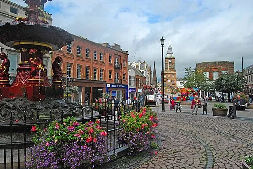 Dumfries City, Dumfries and Galloway11 km NW
-
Shearington Village, Dumfries and Galloway0.6 km E
-
Bankend Village, Dumfries and Galloway1.8 km N
-
Blackshaw Village, Dumfries and Galloway2 km E
-
Glencaple Village, Dumfries and Galloway3.4 km NW
-
Kirkconnell Village, Dumfries and Galloway4.7 km W
Nearby attractions & nature
Everything nearby-
Highmains Hill Mountain, Dumfries and Galloway1.6 km NW
-
Caerlaverock Castle Historic site, Dumfries and Galloway1.1 km S
-
Watch Craig Mountain, Dumfries and Galloway4 km W
-
Loch Hill Mountain, Dumfries and Galloway5.6 km W
-
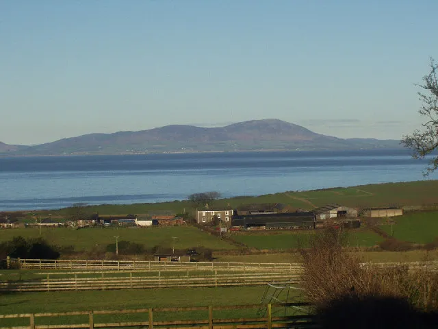 Criffel Mountain, Dumfries and Galloway8.3 km SW
-
Camp Hill Mountain, Dumfries and Galloway6.6 km NW
-
River Nith River, Scotland3.5 km NW
-
Drum Bay Natural site, Dumfries and Galloway6.1 km SW
Sources & licences
Data last updated: