Archerfield the Village
Located in East Lothian, Scotland Coordinates: 56°03′19″ N 2°47′21″ W
- Elevation
- 9 m
- above sea level
- Local time
- UTC+00:00
- Europe/London · UTC+00:00
- Airports
- EDI Edinburgh Airport38 km
- DND Dundee Airport47 km
About Archerfield the Village
Archerfield the Village is a village. Location: East Lothian, Scotland. Elevation: 9 m. The best months to visit are June–September. The nearest airport is Edinburgh Airport (38 km). Nearby sights include Fidra and Eyebroughy.
Photos of Archerfield the Village
-
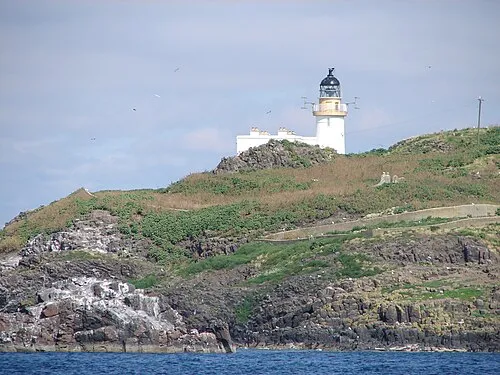
Fidra SixSigma · CC BY 3.0 -
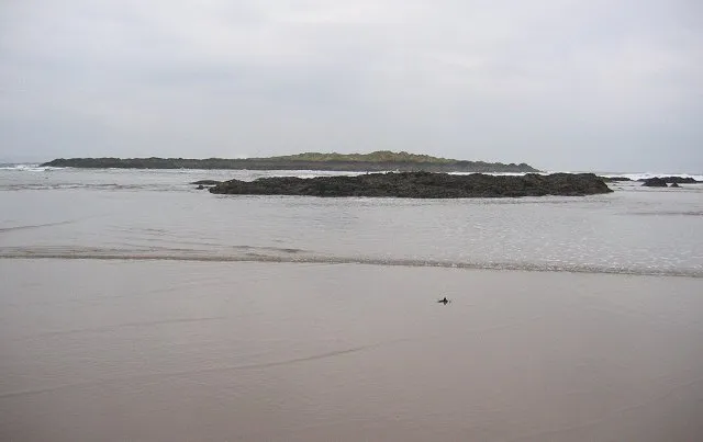
Eyebroughy Richard Webb · CC BY-SA 2.0 -
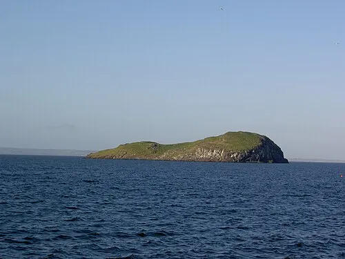
Craigleith Brendandh at English Wikipedia · Public domain -
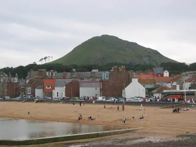
Berwick Law Richard Webb · CC BY-SA 2.0


Climate of Archerfield the Village
Best months for sightseeingBest months for sightseeing: June–September.
This month · November
A cold month
Day 9° · Night 3° · Rain 58 mm
- Hottest month
- July (day 19°)
- Coldest month
- January (night 1°)
- Wettest month
- October (63 mm)
- Driest month
- February (40 mm)
Bars: average monthly low and high temperature. Below: precipitation. Monthly averages for 1970–2000 at about 18 km resolution, adjusted for elevation. Highlighted months are mild and relatively dry. Source: WorldClim 2.1 (CC BY 4.0).
Show values as a table
| Month | Jan | Feb | Mar | Apr | May | Jun | Jul | Aug | Sep | Oct | Nov | Dec |
|---|---|---|---|---|---|---|---|---|---|---|---|---|
| Average high (°C) | 6° | 7° | 9° | 11° | 14° | 17° | 19° | 19° | 16° | 13° | 9° | 7° |
| Average low (°C) | 1° | 1° | 2° | 3° | 5° | 8° | 10° | 10° | 8° | 6° | 3° | 1° |
| Precipitation (mm) | 57 | 40 | 46 | 40 | 48 | 49 | 55 | 61 | 60 | 63 | 58 | 54 |
Other places to visit in this season: June July August September
How to get to Archerfield the Village
The nearest airport is Edinburgh Airport (EDI), 38 km to the west as the crow flies. The nearest large city is Edinburgh, 28 km to the southwest.
Airports
- Edinburgh Airport (EDI) Ingliston, Edinburgh 38 kmwest
- Dundee Airport (DND) Dundee 47 kmnorth
- Glasgow Airport (GLA) Glasgow 105 kmwest
Nearby large cities
- Edinburgh Population: 515K 28 kmsouthwest
- Dundee Population: 148.2K 47 kmnorth
- Glasgow Population: 626.4K 94 kmwest
- Aberdeen Population: 198.6K 128 kmnorth
- Newcastle upon Tyne Population: 300.1K 142 kmsoutheast
Straight-line distances; road distances are longer. Airport data: OurAirports.
Day trips from Archerfield the Village
Within 100 km: 311 historic and cultural sites, 2,449 natural sites, 531 lakes, rivers and coasts.
0–25 km114 places
- Portobello Beach Beach 23 kmSW
- Gullane Beach Beach 4 kmSW
- Seacliff Beach Beach 10 kmE
- Isle of May Island 21 kmNE
25–60 km907 places
- Burntisland Beach Beach 27 kmW
- Cramond beach Beach 33 kmW
- Mugdrum Island Island 44 kmNW
- Inchcolm Island 32 kmW
60–100 km2,270 places
- Cocklawburn Beach Beach 64 kmSE
- Cheswick Sands Beach 65 kmSE
- South Wamses Island 86 kmSE
- Old Law Island 77 kmSE
Straight-line distances.
Nearby attractions & nature
Everything nearby-
Fidra Island, East Lothian1.9 km N
-
Eyebroughy Island, East Lothian2 km NW
-
Sotuh Dog Island, East Lothian1.7 km N
-
Fidra Lighthouse Landmark, East Lothian2 km N
-
North Dog Island, East Lothian2.1 km N
-
Berwick Law Mountain, East Lothian4.7 km E
Other cities and towns in East Lothian
-
 Luffness Village, East Lothian5.8 km SW
-
Longniddry Village, East Lothian11 km SW
-
East Linton Village, East Lothian11 km SE
-
New Mains Village, East Lothian3.7 km S
-
Saltcoats Steading Village, East Lothian3.7 km SW
-
Rosebery Place Village, East Lothian3.7 km SW
Sources & licences
Data last updated: