- Elevation
- 29 m
- above sea level
- Local time
- UTC+00:00
- Europe/London · UTC+00:00
- Airports
- EDI Edinburgh Airport19 km
- DND Dundee Airport58 km
About Fisherrow
Fisherrow is a neighbourhood. Location: East Lothian, Scotland. The best months to visit are June–September. The nearest airport is Edinburgh Airport (19 km). Nearby sights include Brunstane Burn and River Esk.
Photos of Fisherrow
-

Edinburgh Playhouse kim traynor · CC BY-SA 2.0 -

St Giles' Cathedral 瑞丽江的河水 · CC BY-SA 4.0 -
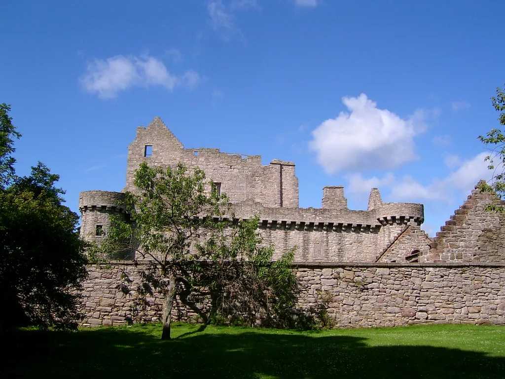
Craigmillar Castle Stuart Yeates , from en:Flickr · CC BY-SA 2.0 -

Easter Road Pachiscool11 · CC0


Climate of Fisherrow
Best months for sightseeingBest months for sightseeing: June–September.
This month · November
A cold month
Day 9° · Night 3° · Rain 61 mm
- Hottest month
- July (day 19°)
- Coldest month
- January (night 1°)
- Wettest month
- October (70 mm)
- Driest month
- April (43 mm)
Bars: average monthly low and high temperature. Below: precipitation. Monthly averages for 1970–2000 at about 18 km resolution, adjusted for elevation. Highlighted months are mild and relatively dry. Source: WorldClim 2.1 (CC BY 4.0).
Show values as a table
| Month | Jan | Feb | Mar | Apr | May | Jun | Jul | Aug | Sep | Oct | Nov | Dec |
|---|---|---|---|---|---|---|---|---|---|---|---|---|
| Average high (°C) | 7° | 7° | 9° | 11° | 14° | 17° | 19° | 19° | 16° | 13° | 9° | 7° |
| Average low (°C) | 1° | 1° | 2° | 4° | 6° | 9° | 11° | 11° | 9° | 6° | 3° | 2° |
| Precipitation (mm) | 64 | 46 | 54 | 43 | 50 | 56 | 60 | 62 | 65 | 70 | 61 | 62 |
Other places to visit in this season: June July August September
How to get to Fisherrow
The nearest airport is Edinburgh Airport (EDI), 19 km to the west as the crow flies. The nearest large city is Edinburgh, 8 km to the west.
Airports
- Edinburgh Airport (EDI) Ingliston, Edinburgh 19 kmwest
- Dundee Airport (DND) Dundee 58 kmnorth
- Glasgow Airport (GLA) Glasgow 86 kmwest
Nearby large cities
- Edinburgh Population: 515K 8 kmwest
- Dundee Population: 148.2K 60 kmnorth
- Glasgow Population: 626.4K 75 kmwest
- Newcastle upon Tyne Population: 300.1K 141 kmsoutheast
- Aberdeen Population: 198.6K 147 kmnortheast
Straight-line distances; road distances are longer. Airport data: OurAirports.
Day trips from Fisherrow
Within 100 km: 349 historic and cultural sites, 2,688 natural sites, 659 lakes, rivers and coasts.
0–25 km268 places
- Burntisland Beach Beach 17 kmNW
- Cramond beach Beach 15 kmW
- Portobello Beach Beach 4 kmNW
- Gullane Beach Beach 18 kmNE
25–60 km1,057 places
- Seacliff Beach Beach 30 kmNE
- Mugdrum Island Island 48 kmN
- Isle of May Island 42 kmNE
- St Serf's Island Island 33 kmNW
60–100 km2,371 places
- Cocklawburn Beach Beach 73 kmE
- Cheswick Sands Beach 75 kmE
- South Wamses Island 96 kmE
- Old Law Island 86 kmE
Straight-line distances.
Nearby attractions & nature
Everything nearby-
Brunstane Burn River, Edinburgh1.6 km NW
-
River Esk River, Scotland2.1 km NE
-
Dalkeith Palace Historic site, Midlothian3.8 km S
-
River South Esk River, Scotland2.1 km SE
-
River North Esk River, Scotland2.1 km SE
-
Lions Haunch Mountain, Edinburgh6.3 km W
Sources & licences
Data last updated: