- Elevation
- 82 m
- above sea level
- Local time
- UTC+00:00
- Europe/London · UTC+00:00
- Airports
- EDI Edinburgh Airport4 km
- DND Dundee Airport56 km
About Mansion Hill
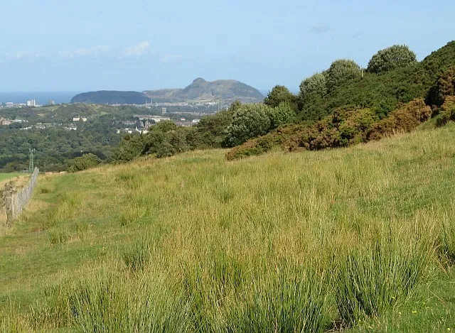
Mansion Hill is a mountain. Location: Edinburgh, Scotland. Elevation: 82 m. The best months to visit are June–August. The nearest airport is Edinburgh Airport (4 km). Nearby sights include New England and Mons Hill.
Climate of Mansion Hill
Best months for sightseeingBest months for sightseeing: June–August.
This month · November
A cold month
Day 9° · Night 3° · Rain 83 mm
- Hottest month
- July (day 19°)
- Coldest month
- January (night 1°)
- Wettest month
- October (90 mm)
- Driest month
- April (51 mm)
Bars: average monthly low and high temperature. Below: precipitation. Monthly averages for 1970–2000 at about 18 km resolution, adjusted for elevation. Highlighted months are mild and relatively dry. Source: WorldClim 2.1 (CC BY 4.0).
Show values as a table
| Month | Jan | Feb | Mar | Apr | May | Jun | Jul | Aug | Sep | Oct | Nov | Dec |
|---|---|---|---|---|---|---|---|---|---|---|---|---|
| Average high (°C) | 6° | 7° | 9° | 11° | 14° | 17° | 19° | 19° | 16° | 13° | 9° | 7° |
| Average low (°C) | 1° | 1° | 2° | 3° | 6° | 9° | 11° | 11° | 9° | 6° | 3° | 2° |
| Precipitation (mm) | 89 | 63 | 73 | 51 | 56 | 62 | 63 | 66 | 80 | 90 | 83 | 88 |
How to get to Mansion Hill
The nearest airport is Edinburgh Airport (EDI), 4 km to the southwest as the crow flies. The nearest large city is Edinburgh, 10 km to the east.
Airports
- Edinburgh Airport (EDI) Ingliston, Edinburgh 4 kmsouthwest
- Dundee Airport (DND) Dundee 56 kmnorth
- Glasgow Airport (GLA) Glasgow 69 kmwest
Nearby large cities
- Edinburgh Population: 515K 10 kmeast
- Glasgow Population: 626.4K 59 kmwest
- Dundee Population: 148.2K 59 kmnortheast
- Aberdeen Population: 198.6K 150 kmnortheast
- Newcastle upon Tyne Population: 300.1K 157 kmsoutheast
Straight-line distances; road distances are longer. Airport data: OurAirports.
Nearest towns and villages
-
Queensferry Town, Edinburgh3.5 km W
-
North Queensferry Village, Fife4.1 km NW
-
Kirkliston Village, Edinburgh4.9 km SW
-
Dalmeny Village, Edinburgh1.9 km W
-
Ratho Station Village, Edinburgh5.9 km SW
-
Dalgety Bay Town, Fife5.7 km N
Nearby attractions & nature
Everything nearby-
New England Mountain, Edinburgh0.8 km N
-
Mons Hill Mountain, Edinburgh1.2 km NW
-
Craigie Hill Mountain, Edinburgh1.4 km SW
-
Dalmeny Oil Depot Mountain, Edinburgh1.6 km W
-
Whitehouse Bay Natural site, Edinburgh2.1 km NW
-
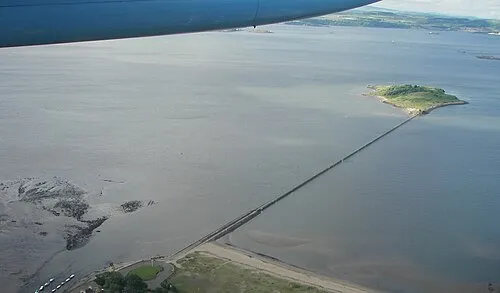 Cramond Island Island, Edinburgh3.6 km E
-
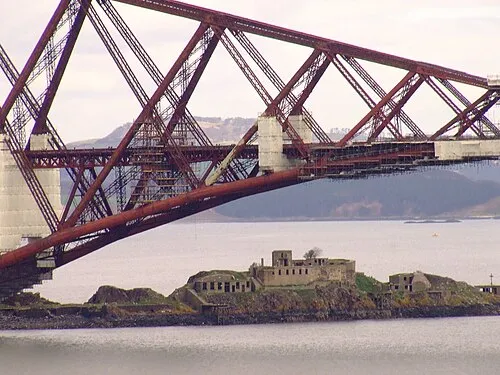 Inch Garvie Island, Edinburgh3.2 km NW
-
Peatdraught Bay Natural site, Edinburgh2 km N
More nature in United Kingdom
-
Lennie Hill Mountain, Edinburgh3.5 km S
-
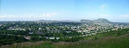 Blackford Hill Mountain, Edinburgh12 km SE
-
Dundas Hill Mountain, Edinburgh4.8 km W
-
Corstorphine Hill Mountain, Edinburgh5.5 km SE
-
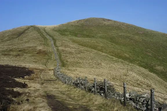 Allermuir Hill Mountain, Edinburgh13 km SE
-
 Warklaw Hill Mountain, Edinburgh11 km S
Sources & licences
Data last updated: