- Population
- 10,190
- 10.2K
- Elevation
- 20 m
- above sea level
- Local time
- UTC+00:00
- Europe/London · UTC+00:00
- Airports
- INV Inverness Airport11 km
- WIC Wick John O'Groats Airport108 km
About Nairn
Nairn is a town. Location: Highland, Scotland. Population: 10,190. Elevation: 20 m.
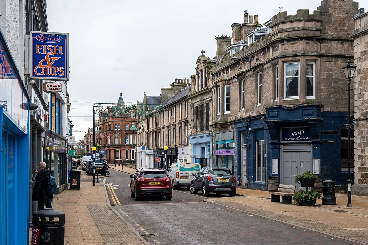
Nairn (; Scottish Gaelic: Inbhir Narann) is a town and former royal burgh in the Highland Council area of Scotland. It is an ancient fishing port and market town around 17 miles (27 km) east of Inverness, at the point where the River Nairn enters the Moray Firth. It is the traditional county town of Nairnshire. At the 2022 census, Nairn had a population of 9,582, making it the third-largest settlement in the Highland Council area, behind Inverness and Fort William.
Source: Wikipedia · CC BY-SA 4.0
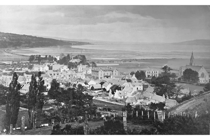
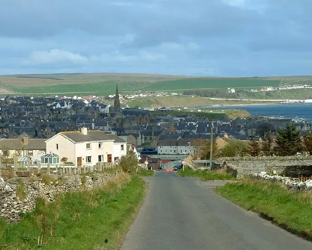
Photos of Nairn
-

Xeverything11 · CC BY-SA 4.0 -

Jennifer Jones · CC BY-SA 2.0 -

Dg-505 · CC BY 3.0 -

Dg-505 · CC BY 3.0 -

don cload · CC BY-SA 2.0


Travel notes for Nairn
From Wikivoyage
Nairn (Gaelic Inbhir Narann) is a seaside resort east of Inverness in The Great Glen and Strathspey Region of Highland Scotland. In 2020 it had a population of 10,190.
Understand+
"At Nairn we may fix the verge of the Highlands; for here I first saw peat fires, and first heard the Erse language."
— Samuel Johnson, A Journey to the Western Isles of Scotland (1775)
James VI had earlier remarked on a visit of 1589 that Nairn High street was "sae lang that the inhabitants of the one end did not understand the language spoken at the other" - though that would simply reflect property prices. The town is in a fertile region on the road from Inverness towards Aberdeen, and grew from 1820 when a fishing harbour was constructed. By 1861 Nairn was also connected to the railway network, and became a seaside resort, and still is. It was the county town of Nairnshire, if anyone could say where that was - until 1889 there were many exclaves elsewhere, until local government boundaries were reformed. The county was in turn subsumed into Highland Region in 1975.
Charlie Chaplin often took his summer holidays in Nairn. Willie Whitelaw, UK deputy Prime Minister 1979-88, was born in Nairn, and the actress Tilda Swinton came to live here.
Get in+
Trains run every hour or two from Inverness, taking 20 min via the airport (INV IATA) to Nairn. They continue to Forres, Elgin, Keith, Huntly, Inverurie, Dyce and Aberdeen.
1 Nairn railway station is just south of town centre. There's a staffed ticket office and machines, and a cafe and waiting room with toilets. Platform 1 northside towards Inverness has step-free access. Platform 2 for Aberdeen is via the footbridge, no lift, or lump across rough ground from Balblair Rd southside.
Stagecoach Bus 10 runs every 30 min from Inverness, taking 40 min to Nairn and continuing to Forres and Elgin. There alternate buses turn back, with an hourly service trundling cross-country through Fochabers, Keith, Huntly and Inverurie to Aberdeen.
By road follow A96: Nairn is 17 miles from Inverness and 78 miles from Aberdeen.
Source: Wikivoyage · CC BY-SA 4.0 · abridged
Climate of Nairn
Best months for sightseeingBest months for sightseeing: June–September.
This month · November
A cold month
Day 9° · Night 3° · Rain 71 mm
- Hottest month
- August (day 18°)
- Coldest month
- February (night 1°)
- Wettest month
- January (71 mm)
- Driest month
- April (39 mm)
Bars: average monthly low and high temperature. Below: precipitation. Monthly averages for 1970–2000 at about 18 km resolution, adjusted for elevation. Highlighted months are mild and relatively dry. Source: WorldClim 2.1 (CC BY 4.0).
Show values as a table
| Month | Jan | Feb | Mar | Apr | May | Jun | Jul | Aug | Sep | Oct | Nov | Dec |
|---|---|---|---|---|---|---|---|---|---|---|---|---|
| Average high (°C) | 7° | 7° | 9° | 11° | 14° | 17° | 18° | 18° | 16° | 13° | 9° | 7° |
| Average low (°C) | 1° | 1° | 2° | 3° | 6° | 8° | 10° | 10° | 8° | 6° | 3° | 1° |
| Precipitation (mm) | 71 | 46 | 60 | 39 | 46 | 53 | 55 | 61 | 65 | 67 | 71 | 65 |
Other places to visit in this season: June July August September
How to get to Nairn
The nearest airport is Inverness Airport (INV), 11 km to the southwest as the crow flies. For international flights: Aberdeen International Airport (ABZ) (110 km). The nearest large city is Aberdeen, 118 km to the southeast.
Airports
- Inverness Airport (INV) Inverness, Highland 11 kmsouthwest
- Wick John O'Groats Airport (WIC) Wick 108 kmnortheast
- Aberdeen International Airport (ABZ) Aberdeen 110 kmeast
Nearby large cities
- Aberdeen Population: 198.6K 118 kmsoutheast
- Dundee Population: 148.2K 135 kmsoutheast
- Edinburgh Population: 515K 186 kmsouth
- Glasgow Population: 626.4K 192 kmsouth
- Newcastle upon Tyne Population: 300.1K 322 kmsoutheast
Straight-line distances; road distances are longer. Airport data: OurAirports.
Day trips from Nairn
Within 100 km: 44 historic and cultural sites, 3,662 natural sites, 714 lakes, rivers and coasts.
0–25 km122 places
- Eilean nan Clach Island 24 kmSW
- Isle of Moy Island 24 kmSW
- Ness Islands Island 25 kmSW
- Souter's Island Island 23 kmNW
25–60 km1,252 places
- Findlays Seat Mountain 41 kmE
- Lossiemouth East Beach Beach 39 kmNE
- Moy Island Island 39 kmW
- Eilean Aigas Island 43 kmW
60–100 km3,046 places
- Sunnyside Beach Beach 67 kmE
- Eilean Sùbhainn Island 97 kmW
- Eilean Ruairidh Mòr Island 99 kmW
- Isle Martin Island 90 kmNW
Straight-line distances.
Nearby attractions & nature
Everything nearby-
River Nairn River, Highland0.8 km E
-
Laiken Brae Mountain, Highland4.5 km SE
-
Loch of the Clans Lake, Highland5.4 km SW
-
Hill of Urchany Mountain, Highland6.4 km S
-
Brae of Lethen Mountain, Highland6.8 km SE
-
Loch Loy Lake, Highland6.1 km E
-
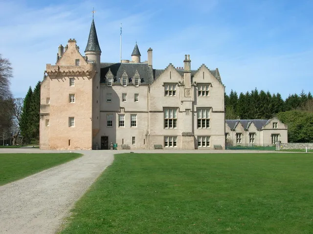 Brodie Castle Historic site, Moray10 km E
-
Cromal Mount Mountain, Highland9.5 km W
Other cities and towns in Highland
Sources & licences
Data last updated: · 2 independent sources