- Elevation
- 488 m
- above sea level
- Local time
- UTC+00:00
- Europe/London · UTC+00:00
- Airports
- EDI Edinburgh Airport12 km
- DND Dundee Airport66 km
About Castlelaw Hill
Castlelaw Hill is a mountain. Location: Midlothian, Scotland. Elevation: 488 m. The best months to visit are July–August. The nearest airport is Edinburgh Airport (12 km). Nearby sights include Woodhouselee Hill and Fala Knowe.
Photos of Castlelaw Hill
-
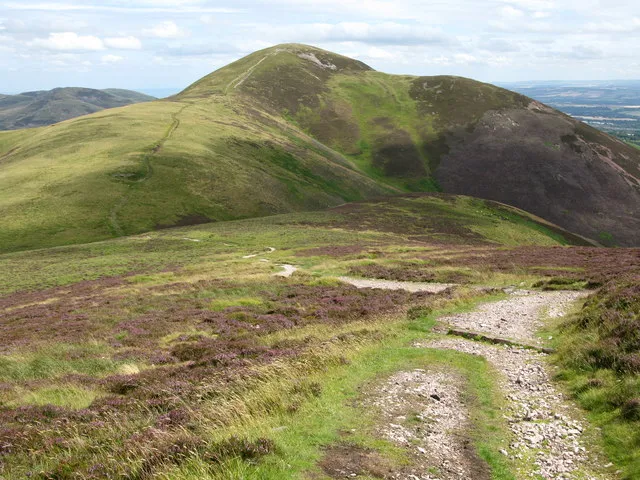
Carnethy Hill G Laird · CC BY-SA 2.0 -
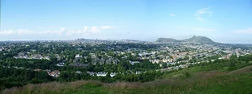
Blackford Hill Kim Traynor · CC BY-SA 3.0 -
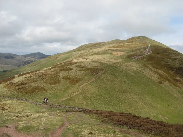
Turnhouse Hill Richard Webb · CC BY-SA 2.0 -
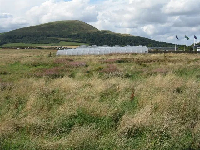
Caerketton Hill M J Richardson · CC BY-SA 2.0 -
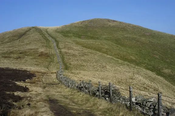
Allermuir Hill Tom Richardson · CC BY-SA 2.0


Climate of Castlelaw Hill
Best months for sightseeingBest months for sightseeing: July–August.
This month · November
A cold month
Day 6° · Night 0° · Rain 69 mm
- Hottest month
- July (day 16°)
- Coldest month
- January (night -2°)
- Wettest month
- October (78 mm)
- Driest month
- April (47 mm)
Bars: average monthly low and high temperature. Below: precipitation. Monthly averages for 1970–2000 at about 18 km resolution, adjusted for elevation. Highlighted months are mild and relatively dry. Source: WorldClim 2.1 (CC BY 4.0).
Show values as a table
| Month | Jan | Feb | Mar | Apr | May | Jun | Jul | Aug | Sep | Oct | Nov | Dec |
|---|---|---|---|---|---|---|---|---|---|---|---|---|
| Average high (°C) | 4° | 4° | 6° | 8° | 12° | 14° | 16° | 16° | 13° | 10° | 6° | 4° |
| Average low (°C) | -2° | -2° | -1° | 1° | 3° | 6° | 8° | 8° | 6° | 3° | 0° | -1° |
| Precipitation (mm) | 75 | 53 | 62 | 47 | 53 | 59 | 61 | 63 | 70 | 78 | 69 | 73 |
How to get to Castlelaw Hill
The nearest airport is Edinburgh Airport (EDI), 12 km to the northwest as the crow flies. The nearest large city is Edinburgh, 10 km to the north.
Airports
- Edinburgh Airport (EDI) Ingliston, Edinburgh 12 kmnorthwest
- Dundee Airport (DND) Dundee 66 kmnorth
- Glasgow Airport (GLA) Glasgow 75 kmwest
Nearby large cities
- Edinburgh Population: 515K 10 kmnorth
- Glasgow Population: 626.4K 64 kmwest
- Dundee Population: 148.2K 69 kmnorth
- Newcastle upon Tyne Population: 300.1K 143 kmsoutheast
- Aberdeen Population: 198.6K 158 kmnortheast
Straight-line distances; road distances are longer. Airport data: OurAirports.
Day trips from Castlelaw Hill
Within 100 km: 346 historic and cultural sites, 2,841 natural sites, 699 lakes, rivers and coasts.
0–25 km333 places
- Burntisland Beach Beach 21 kmN
- Cramond beach Beach 13 kmN
- Portobello Beach Beach 12 kmNE
- Inchkeith Island 19 kmN
25–60 km1,146 places
- Gullane Beach Beach 31 kmNE
- Seacliff Beach Beach 43 kmNE
- Mugdrum Island Island 53 kmN
- Isle of May Island 55 kmNE
60–100 km2,407 places
- Ayr Beach Beach 99 kmSW
- Troon Beach Beach 97 kmW
- Cocklawburn Beach Beach 82 kmE
- Cheswick Sands Beach 84 kmE
Straight-line distances.
Nearest towns and villages
Nearby attractions & nature
Everything nearby-
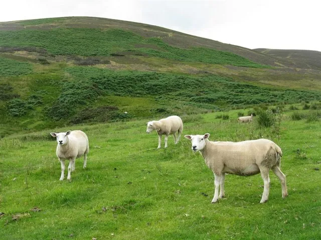 Woodhouselee Hill Mountain, Midlothian0.9 km E
-
Fala Knowe Mountain, Midlothian0.7 km N
-
Allermuir Hill Mountain, Edinburgh1.4 km N
-
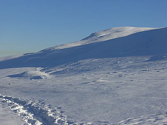 Capelaw Hill Mountain, Edinburgh1.5 km NW
-
Caerketton Hill Mountain, Edinburgh1.8 km NE
-
Turnhouse Hill Mountain, Midlothian2.5 km SW
-
Phantom's Cleugh Natural site, Scotland1.5 km NW
-
Harbour Hill Mountain, Edinburgh1.9 km W
More nature in United Kingdom
-
Carnethy Hill Mountain, Midlothian3.5 km SW
-
Gask Hill Mountain, Midlothian3.5 km SW
-
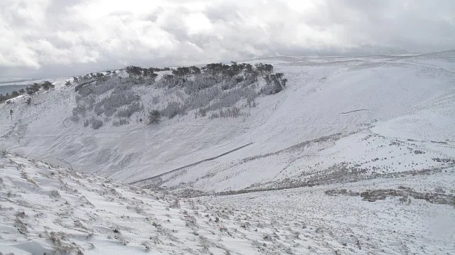 Cap Law Mountain, Midlothian6.9 km SW
-
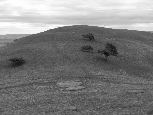 Braid Law Mountain, Midlothian6.9 km SW
-
Bell's Hill Mountain, Midlothian2 km W
-
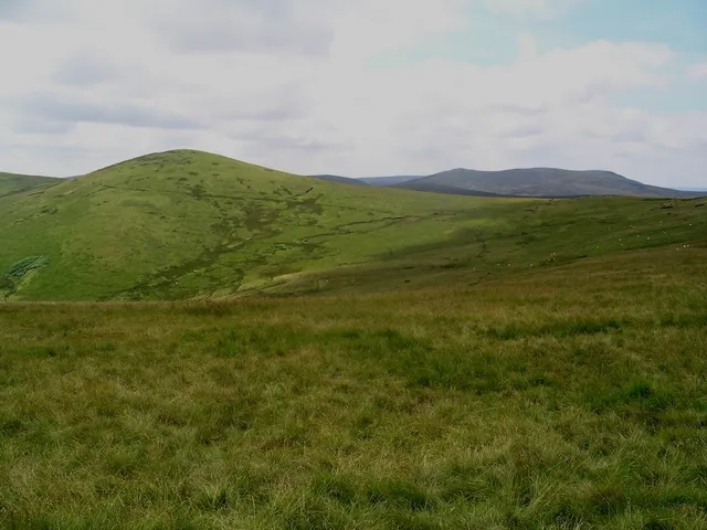 Green Law Mountain, Midlothian7.8 km SW
Sources & licences
Data last updated: